The summit that started it all. When 2024 began I had no knowledge of SOTA and only a vague familiarity (but zero interest in) ham radio. For whatever reason, YouTube began to feed me some video about ham radio and a volcano. I vehemently ignored it, perhaps even clicking the “not interested” option, but the algorithm persisted.
Finally I gave in and my eyes went wide with curiosity—there was a guy scree-surfing on top of a windy Mount Saint Helens with a handheld radio talking to someone else [turns out] on another summit. I didn’t know what I was watching, but I knew that I wanted in on it.
About 16 months later and here I am leaving the Climber’s Bivuoac trailhead with three partners, a ham radio license and a rough plan.
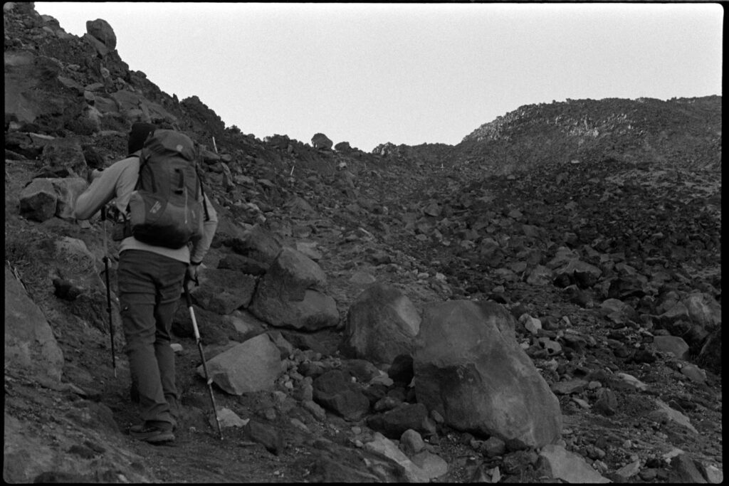
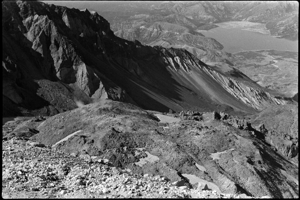
The ascent up Saint Helens can be broken into 3 segments: the forested trail, the boulder field, and the sand/ash climb. With headlamps and snacks, we started right at 5:30AM hoping to reach the boulder field before sunrise.
Route-finding is not a problem, with tall wooden poles marking the way up. We kept a consistent pace up with only a couple of short breaks to occasionally take in the view and swap out clothing layers.
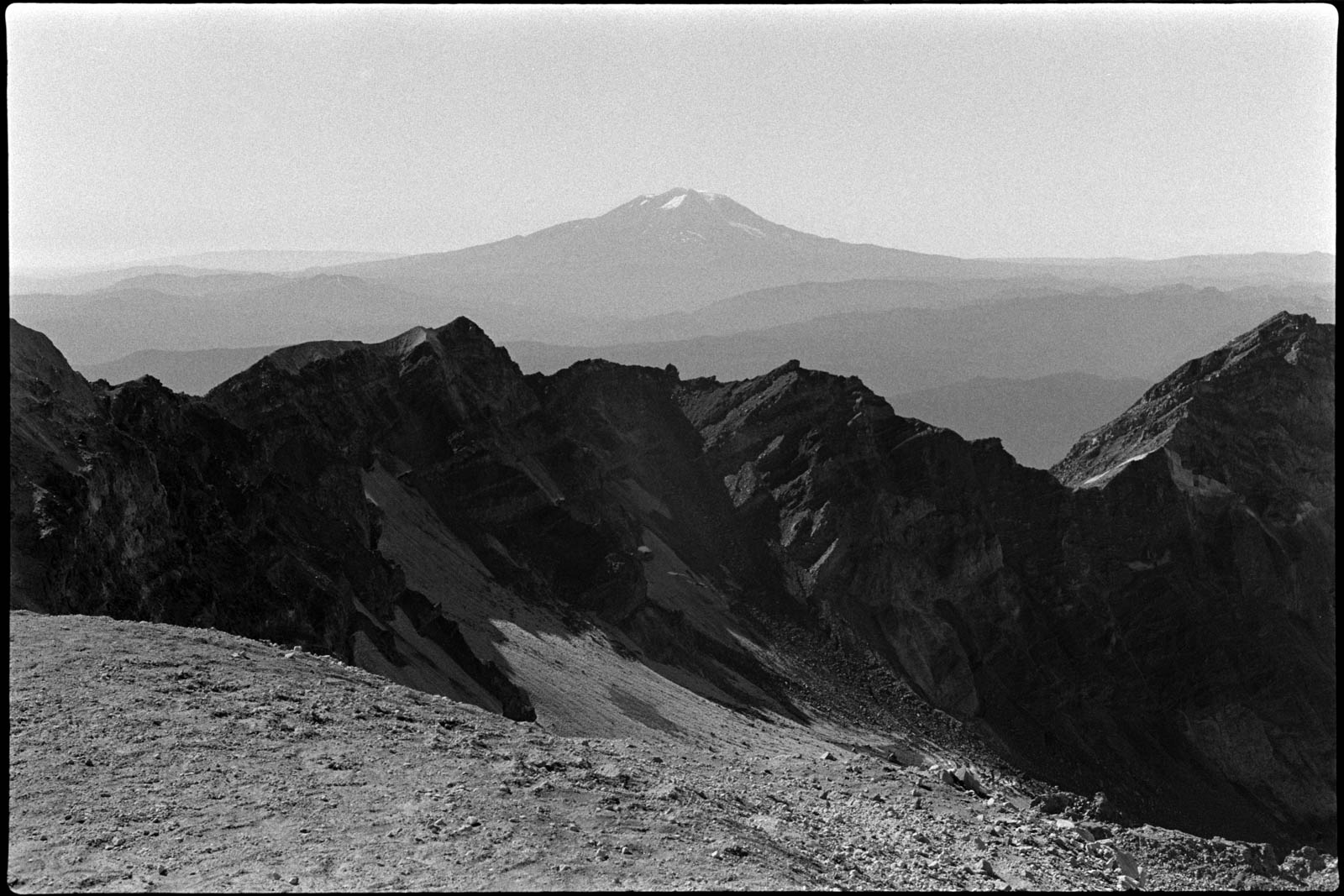
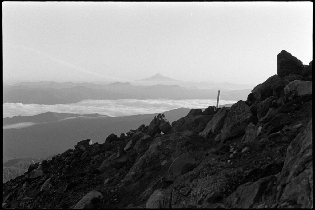
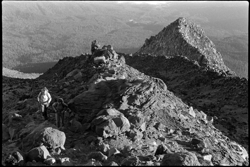
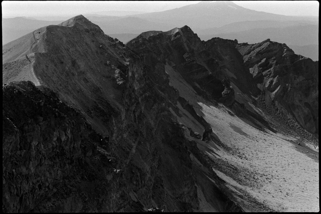
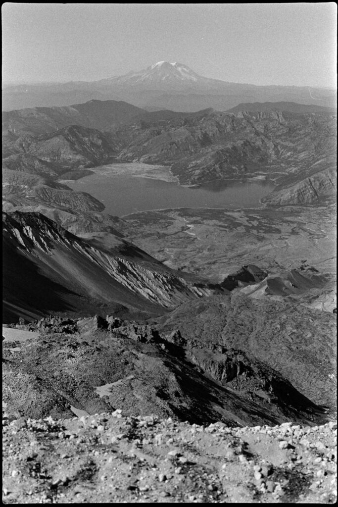
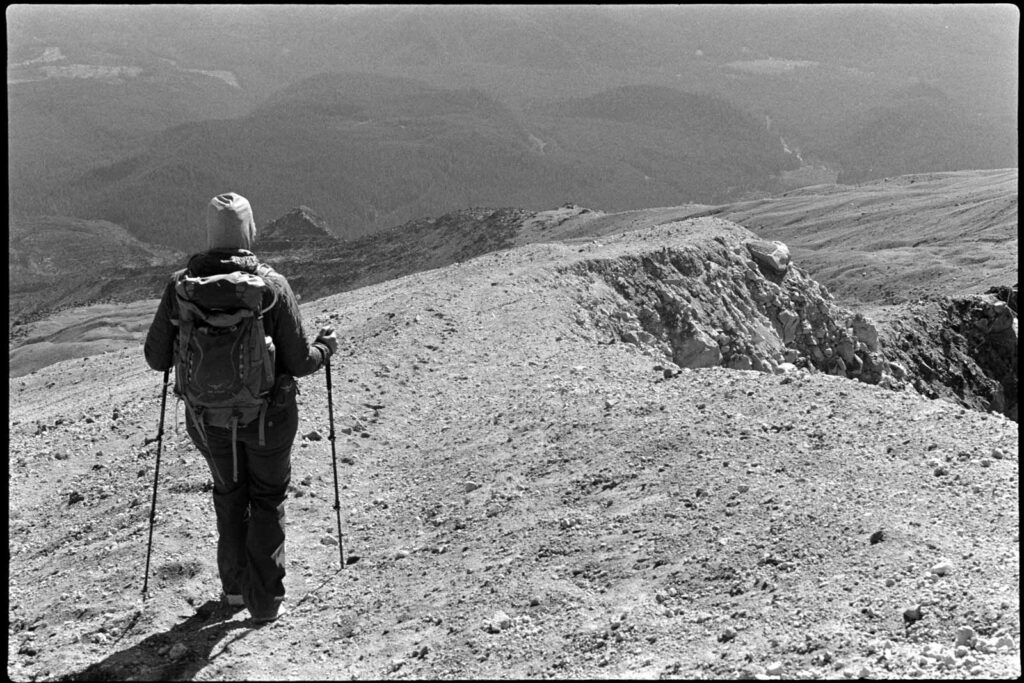
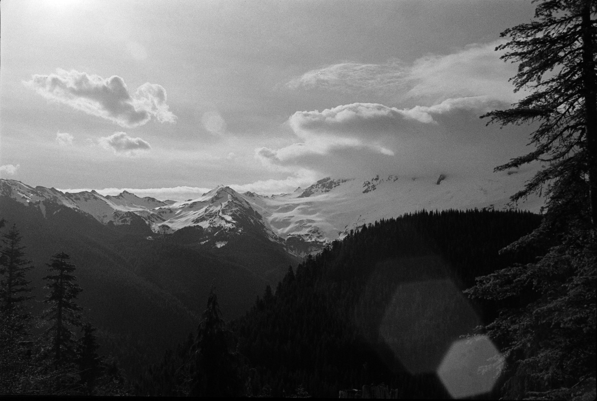
It took us a bit under four hours to reach to the top where we had to then hike along the edge to get up to the true summit.
Using my Anytone 878 and a Smiley 2M whip, I made 11 FM contacts and easily activated my first volcano. We sat down to eat our sandwiches and just look out at the other mountains, feeling lucky on this incredibly clear day.
Finally, it was time to head back down. We had a bit of a drive ahead to our hotel in Hood River… and the beers & burgers at Pfriem Brewing were already sounding pretty damn good.
Found myself up in the Bellingham, WA area for a work function over Memorial Day weekend, so why not take advantage of the North Cascades and bag a summit?
South Lookout Mountain looked quite doable and literally right across the street (and down a long road) from the Airbnb. This is early in the season, probably the worst time to try and hike it because the snow is still 3-4 feet deep yet the temps are warm, making for a Slushee-like consistency. Microspikes, GORE-TEX shoes, and shin-high gaiters definitely helped minimize the suck.
The sun was out and I had the day to myself with frequent glimpses of Mount Baker just to my east. After becoming frustrated with the difficult snow hiking, I made the decision to bypass the switchbacks of the road and just head straight up the side of the hill–that wasn’t the best decision of the day.
Once at the top I stamped down a good spot to operate, set up the EFHW and fired up the ‘ol Icom 705. This was a bittersweet activation as it was most likely the last time I’d use the 705. A new radio was ordered and shipped… more on that at a later date.
With nary a smidge of cellular coverage, I didn’t bother spotting myself and just hunted around for random SOTA ops calling CQ. I only made six contacts but all were summit-to-summits, which is pretty fun. That includes one made on 2m with the handheld, something I don’t get to do very often over in the sparsely populated eastern side of the state.
This summer I really wanted to get out and do some multi-day backpacking and bag a few peaks. I have a few rough periods at work throughout the year, thankfully they only last a couple of weeks, but when they’re over I like to escape into the wilds for a day or three and try to undo all of the sitting and screen staring.
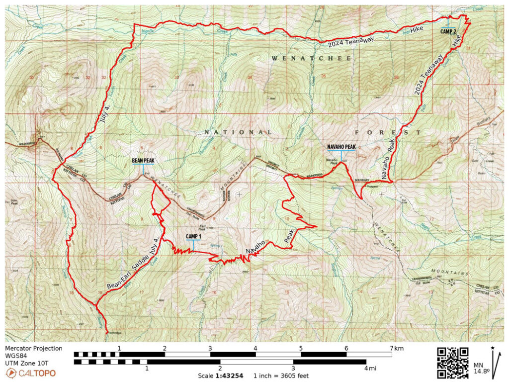
This Fourth of July weekend, I had planned out a 3-day, 37-mile route through the Wenatchee National Forest. Skirting along the southern side of the Enchantments, the hope was to avoid the crowds yet get a glimpse some of the amazing views.
Day One
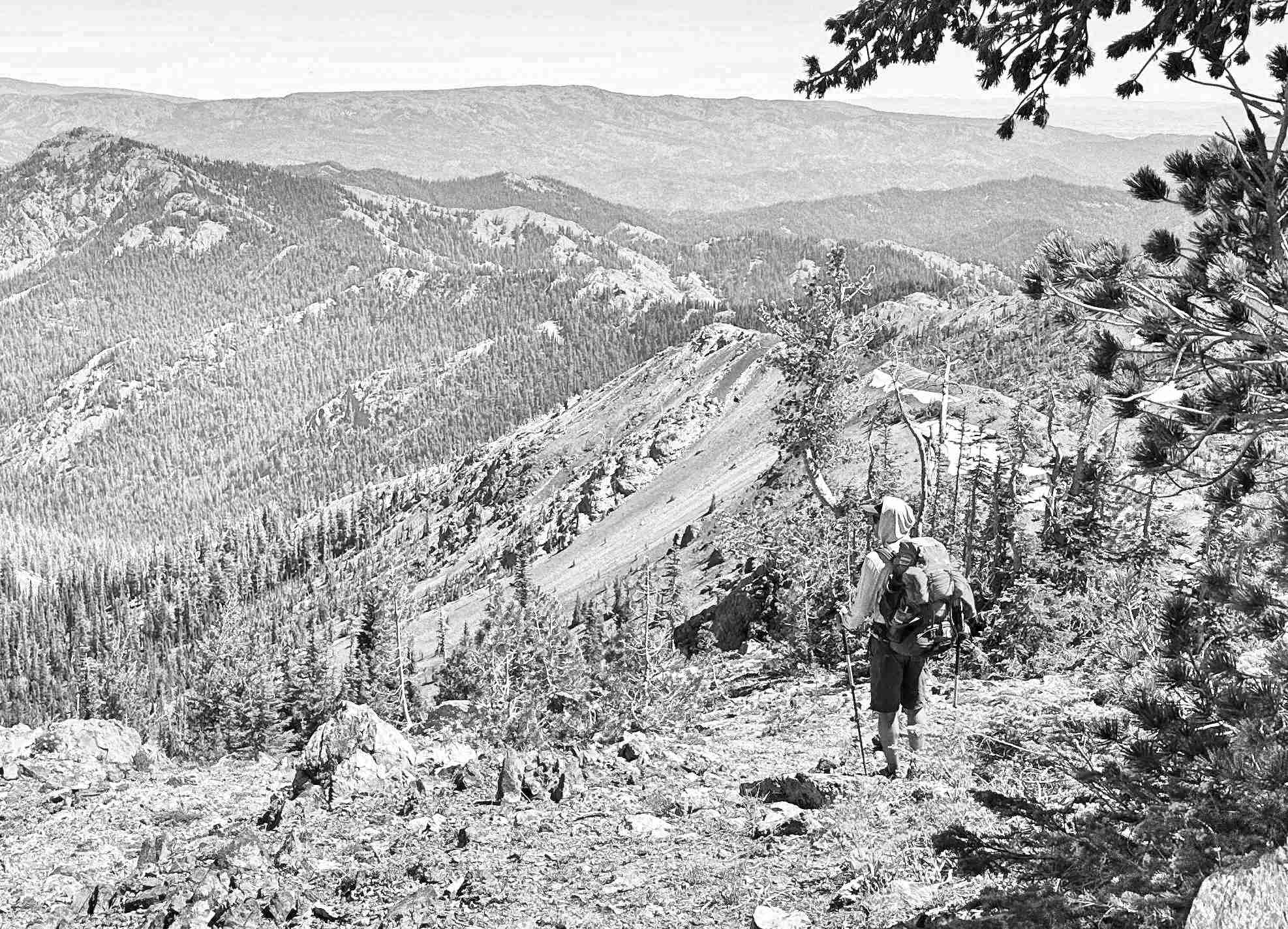
Getting our start at about 9am at the Beverly Creek Trailhead (elev 3823ft), the altitude gains started right off the bat. We veered east to follow the Bean Creek Trail and at about the 2 mile mark things opened up to where we could see our first target: Bean Peak. The next climb was spicy; gaining about 900ft in half a mile. Once getting up to the saddle and moving towards the peak, it was time for a break and a snack.
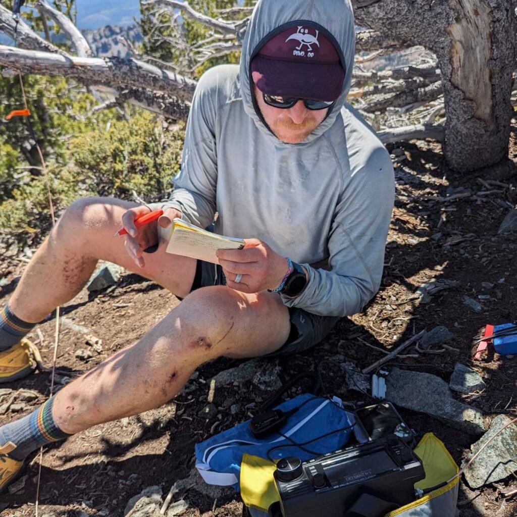
While working on peanut butter tortilla wraps and pondering on Bean Peak, we decided that it looked a little too technical for what we were wanting to attempt that day. What we really want to hit was Earl Peak, just a ridgeline traverse over. That’s the SOTA summit and on the way to camp, so we began to make our way along the ridge. Rocky and riddled with footpaths leading every-which-way. Evidently we got a bit off-course putting us below the intended route, and top of the ridge, by about 30 feet and no good way to work back up to it without backtracking across the sketchy loose rocks we just navigated.
Discussing our options, we decided our best bet at this point was get off the unstable slope we found overselves on and re-group. That was easier said than done, but with 900ft of scree surfing we eventually made it back down to the floor where we found some shade by the creek. Regaining some composure, resetting expectations for the day, and constructing a new route, we set forth upon one more climb up to the (much less rocky) saddle on the south end of Earl where camp was set for night one at 6166ft. Earl was going to be scratched from our agenda. We’ll be back for you, Earl.
Day Two
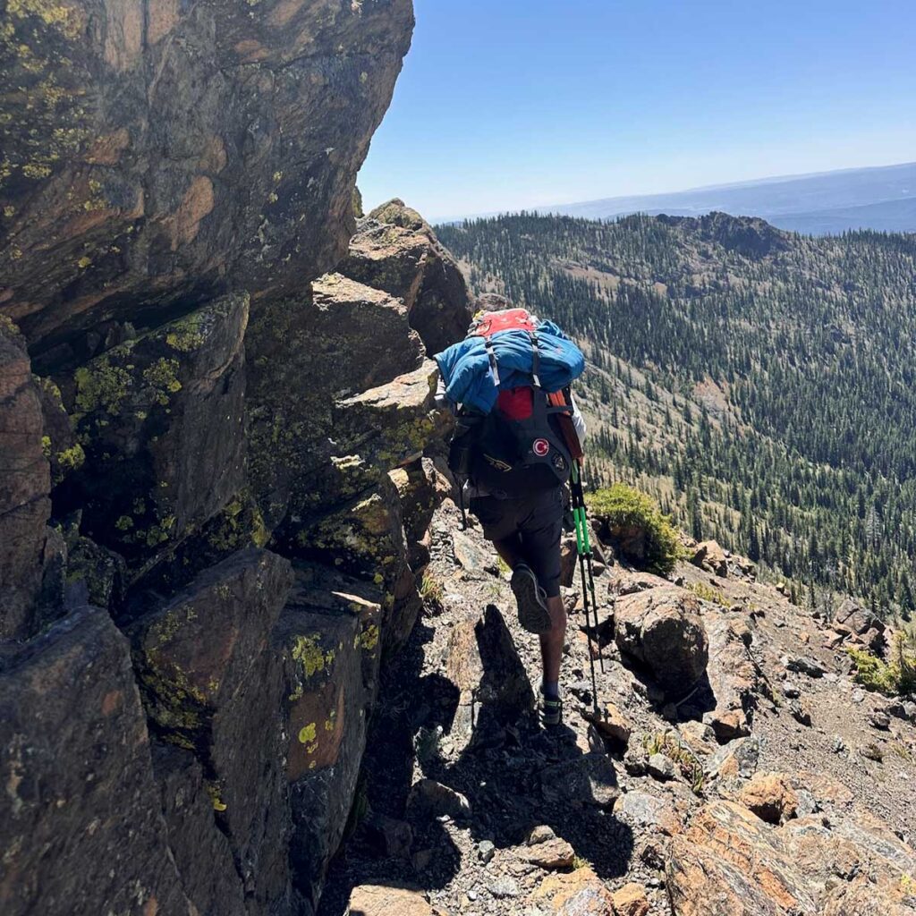
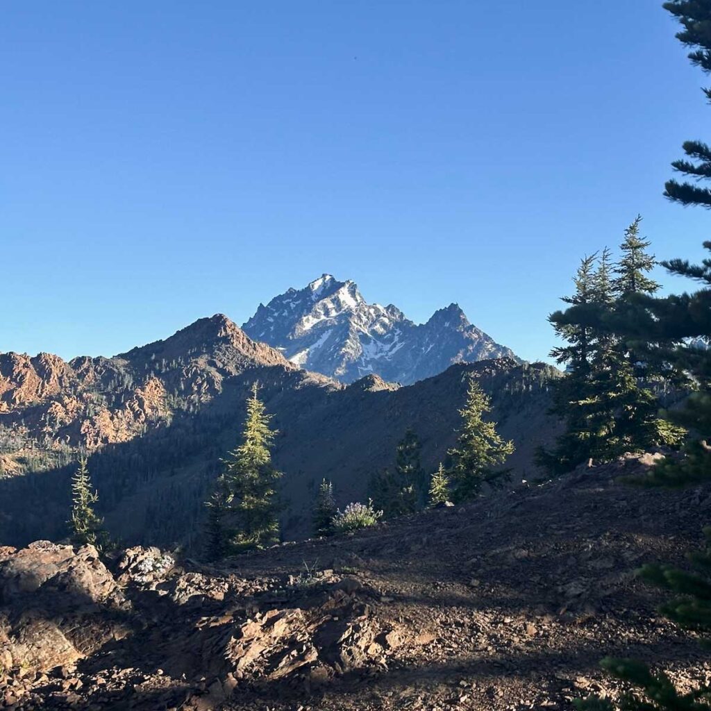
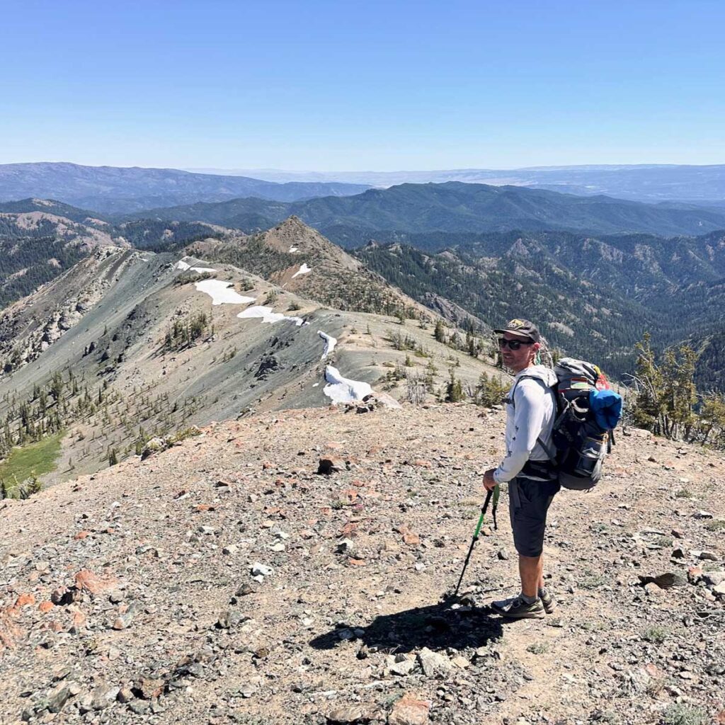
Getting an 8am start, we made our way around the SE of Earl moving through a couple of valleys for 4.8 miles before getting up to Navaho Saddle and meeting the County Line Trail at 6048ft. There we met a badass hiker from Roslyn (I don’t recall her name) who was out bagging peaks with a fast pace. Impressed, we continued on and up to summit of Navaho Peak W7W/CW-008–another steep job. At the top of Navaho, 7220ft, there were some snow spots and it was buggy, but the view was incredible.
Working 20m SSB and 2m FM, the activation was relatively quick and I nabbed 3 summit-to-summits. Thank you to my contacts: N6LY, KK6OO, KB7JB, KB7LYD, KE7JWP, WX7EMT.
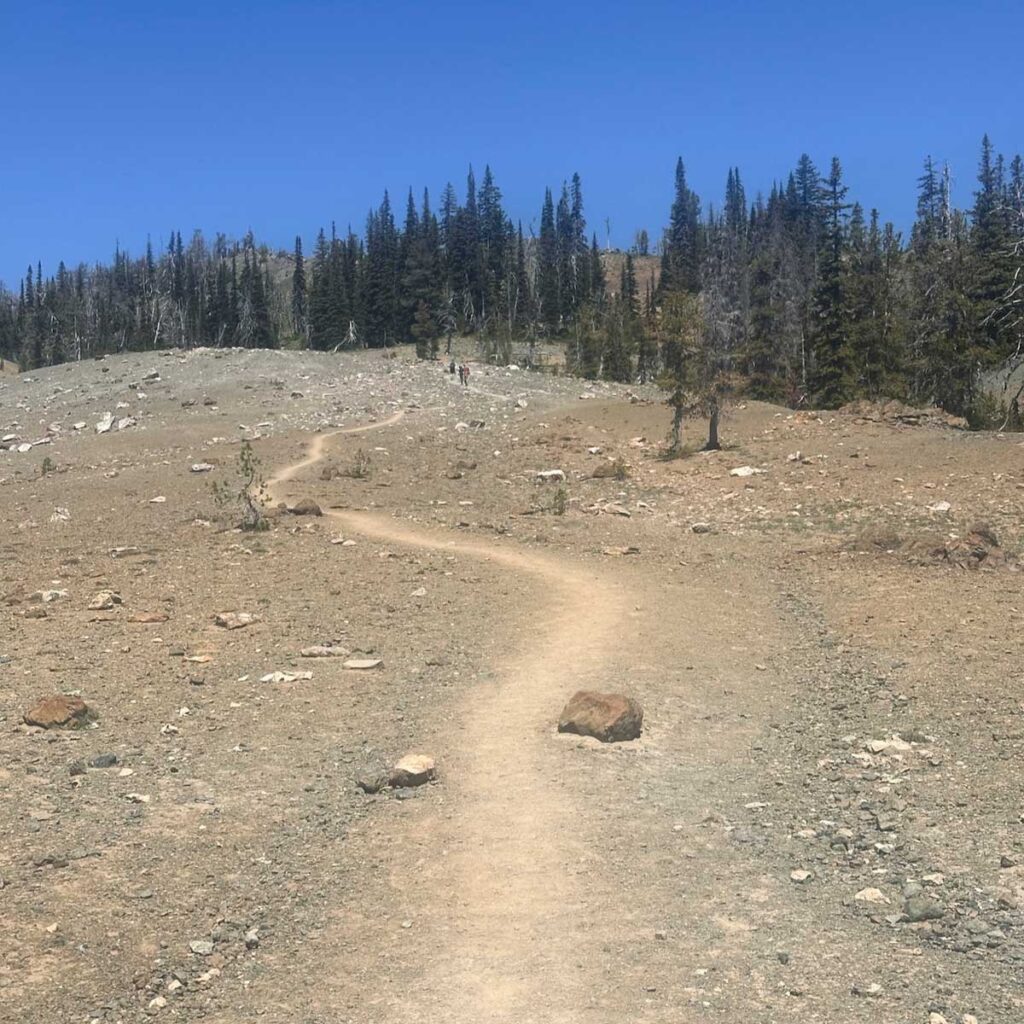
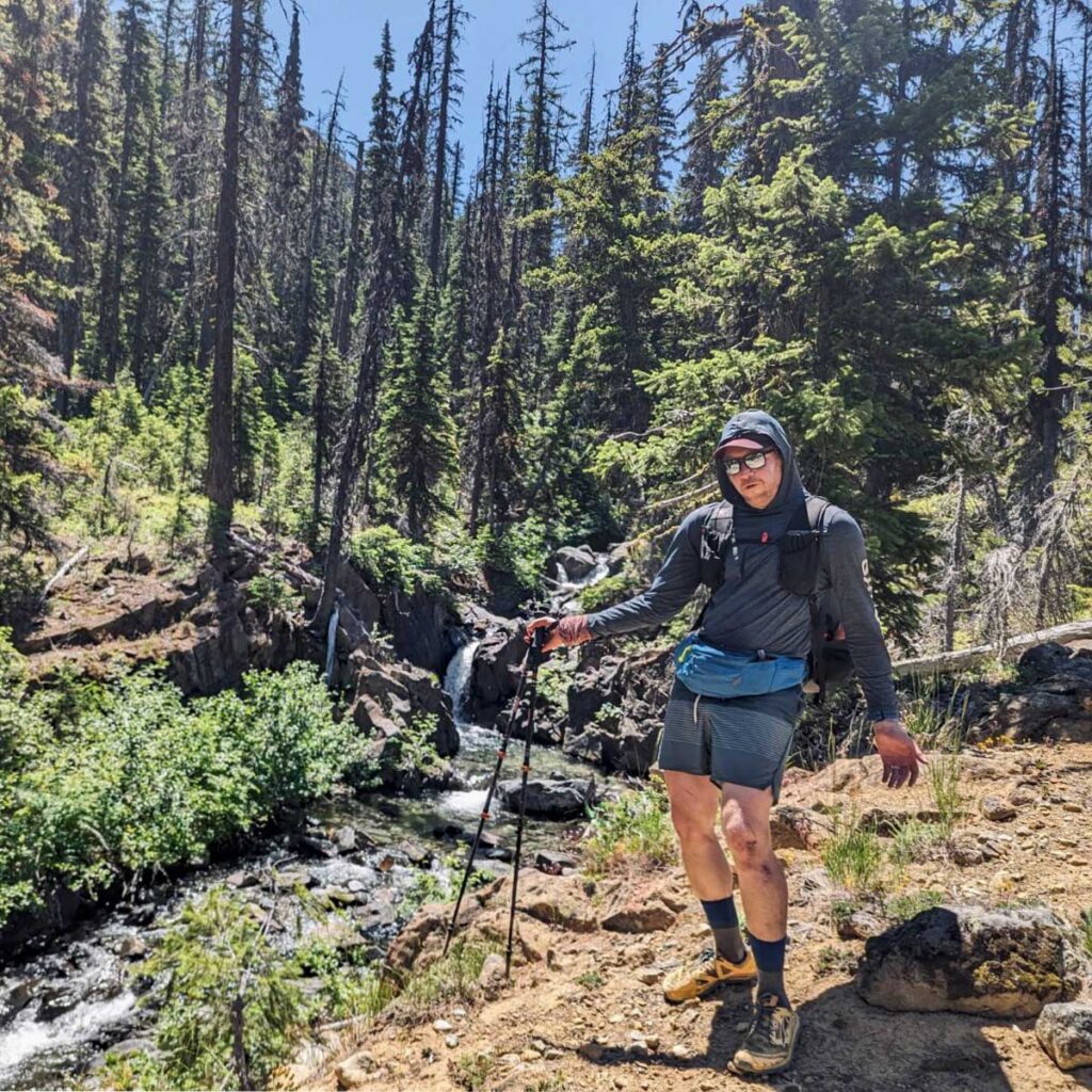
The next section, which was not in the original plan but we had to opt for it in lieu of a 26 mile day two, was the Falls Creek Trail. A nice gent coming up the trail as we began to descend told us it was (English accent) “a bit tricky with quite a lot of blowdowns, but if you have GPS you’ll make do. cheers!” He was not bullshitting. This trail was mostly unused and navigation was, oh, tricky. Towards the end as we met up with the much more popular Ingalls Creek Trail, there were a couple of fun shoes-off river crossings.
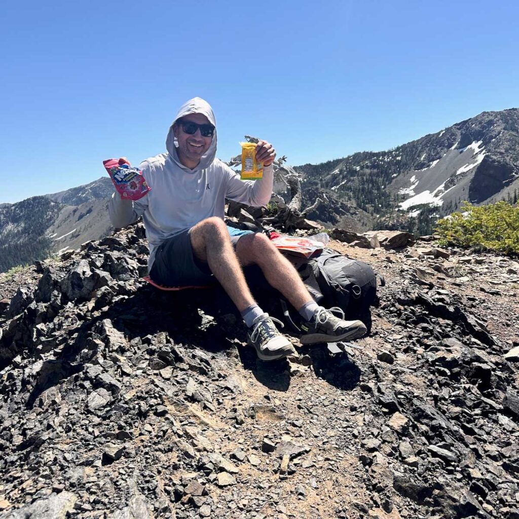
Night two’s dinner of smoked salmon, some spicy peanut butter ramen, and a shared Snickers bar was well-earned. Early to bed.
Day Three
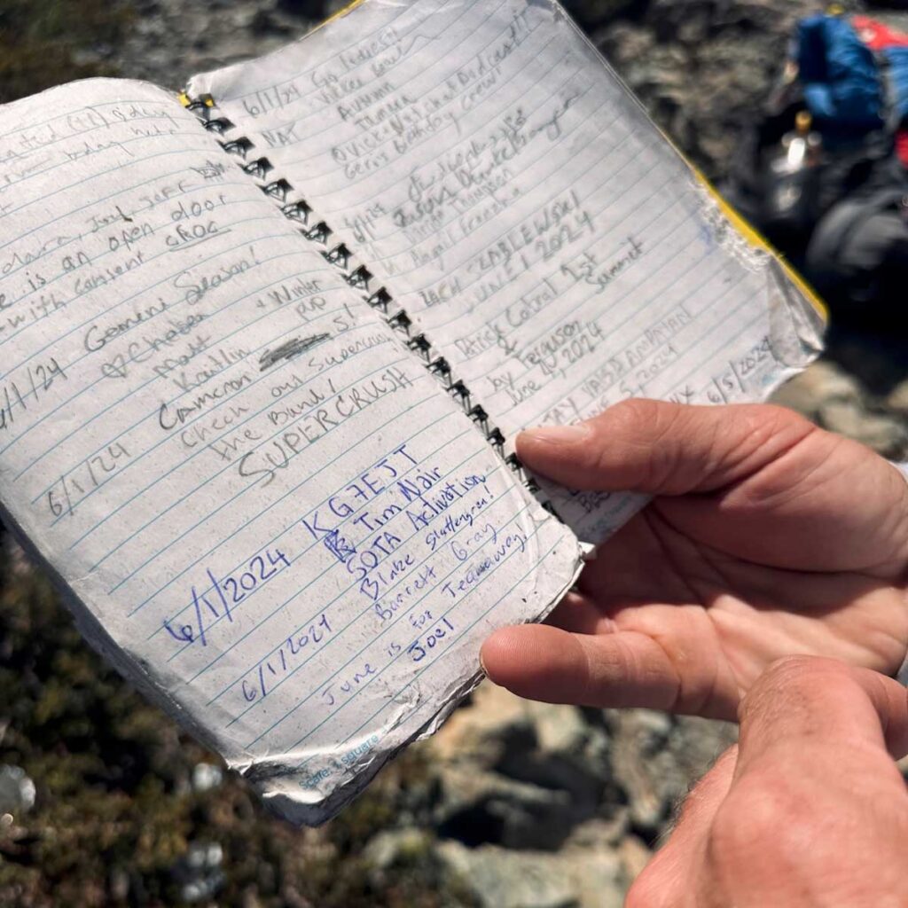
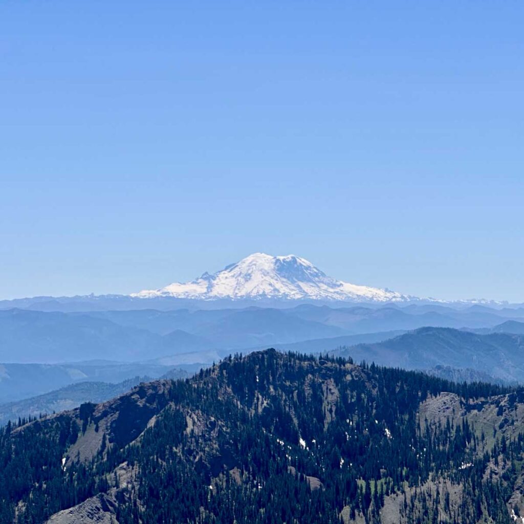
Exit day, July 6. With some sadness, we broke camp and mentally prepared for returning to civilization. The hike out was amazing; Well-groomed, not terribly steep, lots of waterfalls and just a scenic treat. We stopped about a mile from the top to have lunch and refill water. I asked Tyler if he heard voices and he said my radio was talking—sure enough it was a CQ call from a SOTA activator. I reached out and connected with him, he was up on Red Top Mountain W7W/CW-061 and I was his fourth contact.
The remainder of the hike consisted of a simple climb to the saddle and then a fast-paced descent back to the trailhead. We cleaned up in a nearby river, stopped at a brewery in Cle Elum for a pint and a bite, then headed home.
The weekend was an overall success with some trials, course-corrections, incredible views and relationship-building hours on trail.