Tag: Idaho

  • Idaho FA: Grandmother Mtn W7I/NI-085 (and Mark’s Butte W7I/NI-092)

    Idaho FA: Grandmother Mtn W7I/NI-085 (and Mark’s Butte W7I/NI-092)

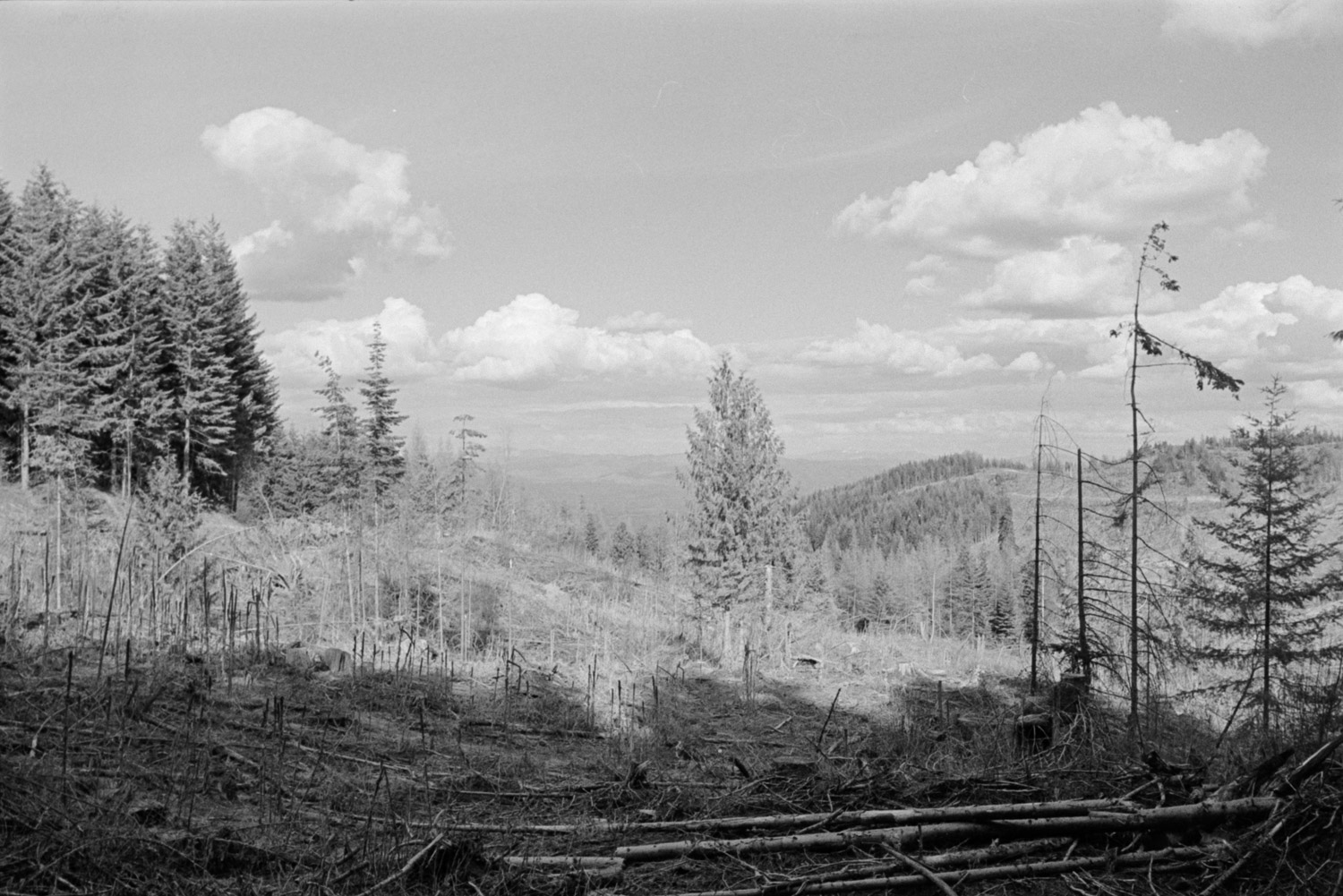
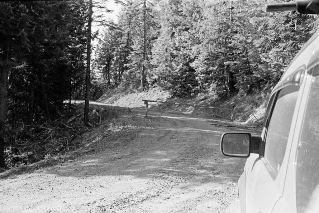
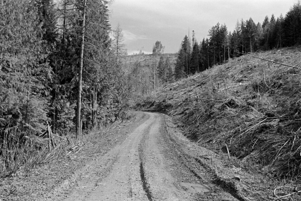
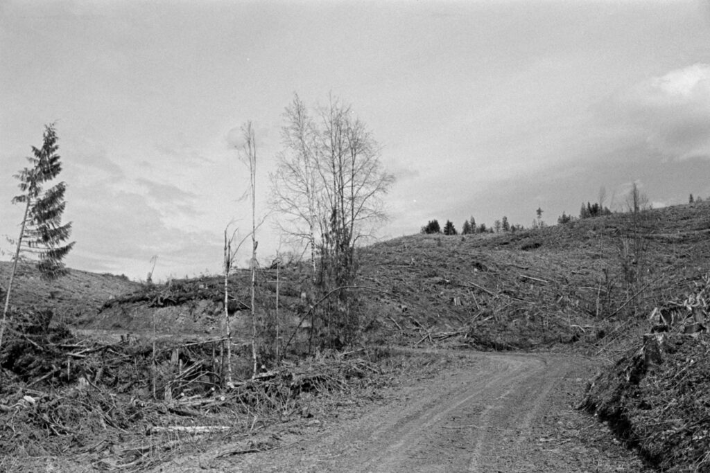
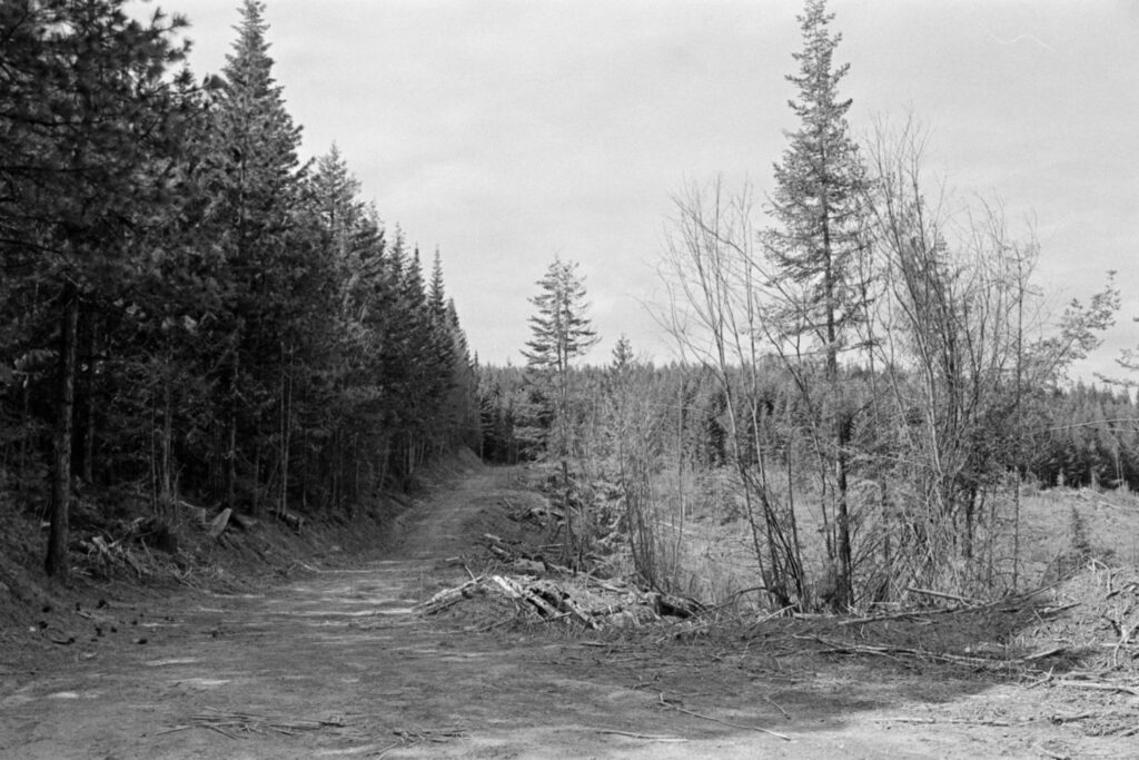
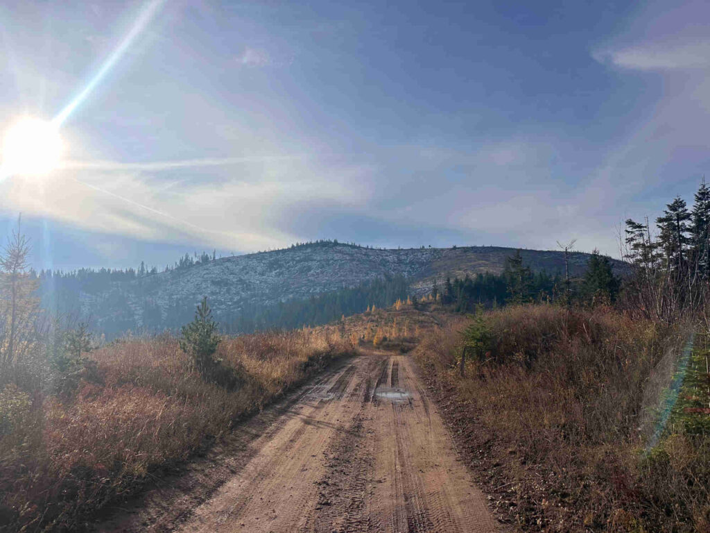
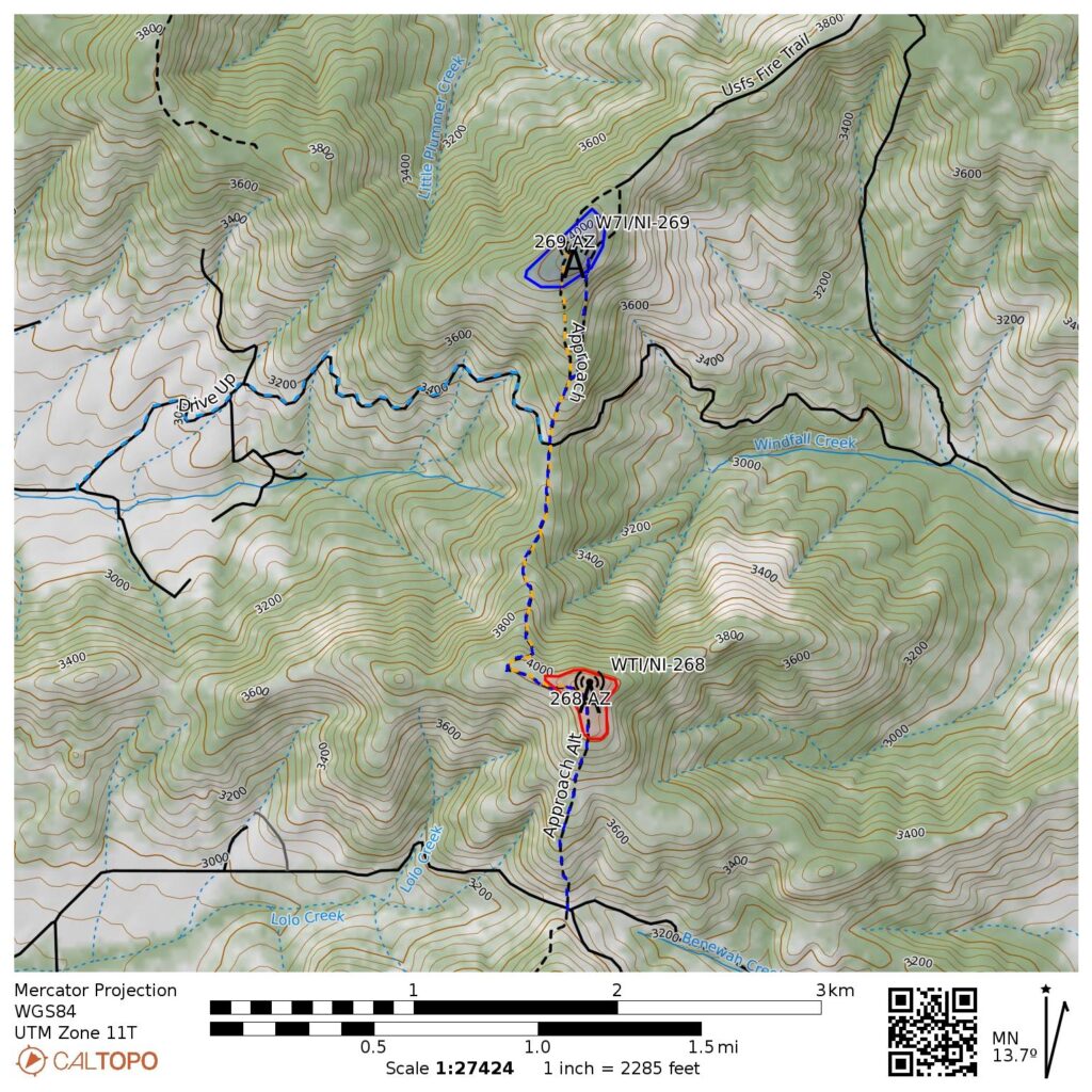
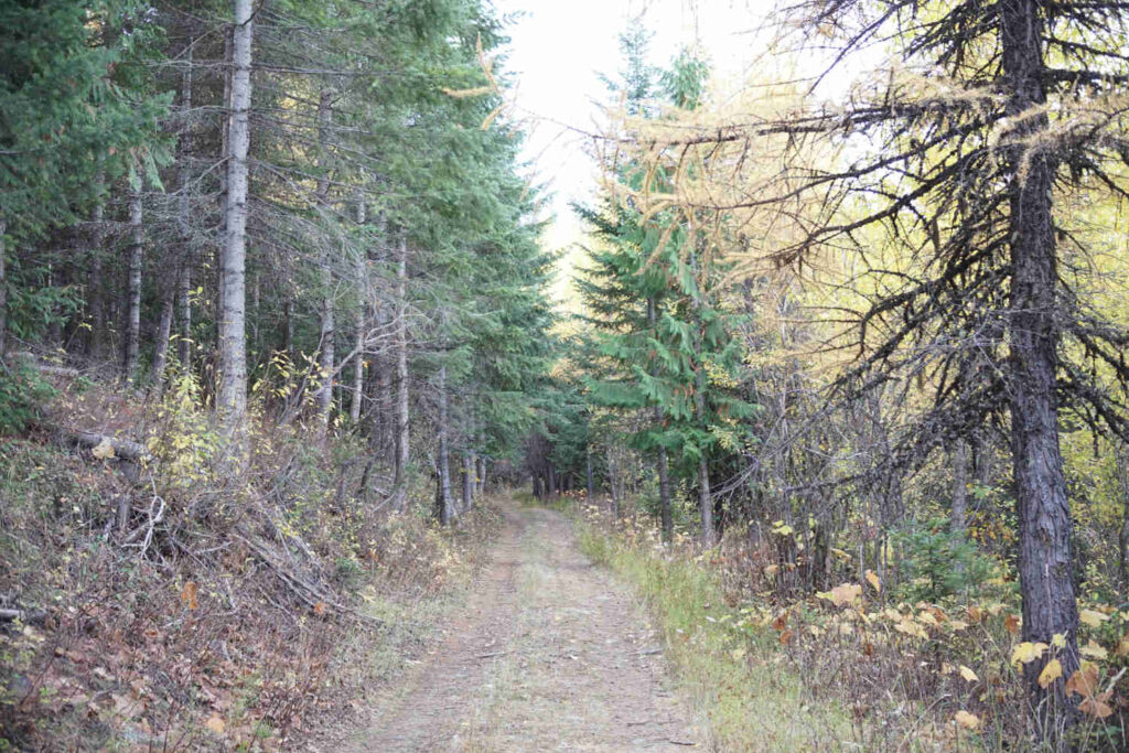
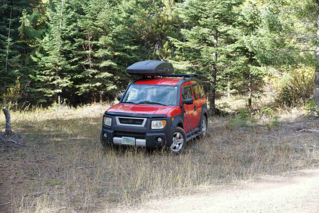
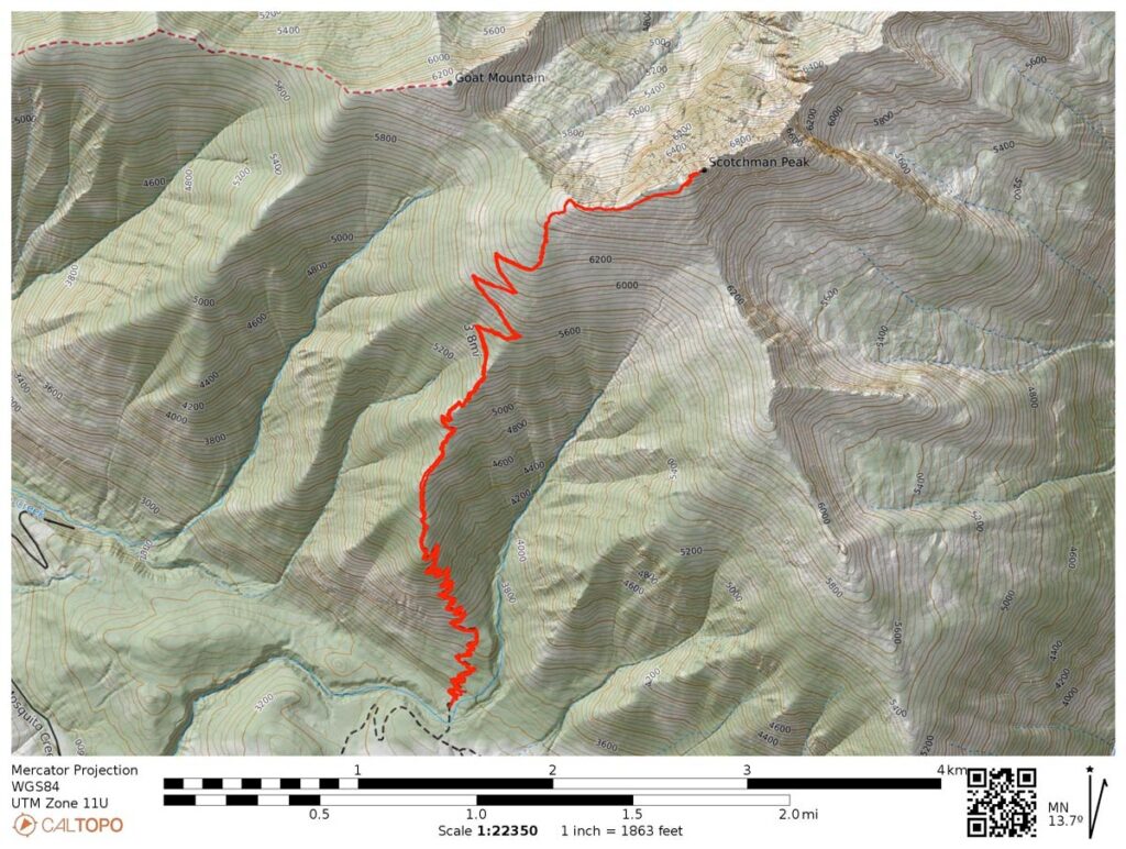
    A couple of Northern Idaho’s smallish summits that, in an earlier spring attempt were blocked by snow, are a bit of a long forest road drive to access. As you start to climb above 5300ft, FR301 becomes more rough than a standard SUV can handle. I parked my Honda at 47.01588, -116.06868 and walked the rest of the way up the road,

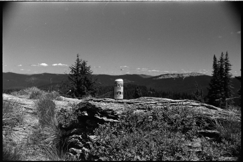
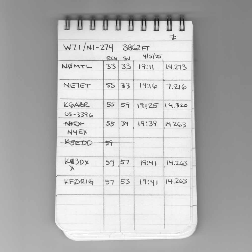
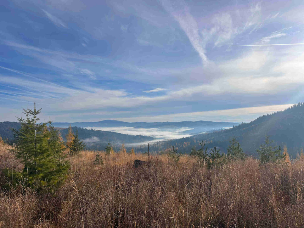
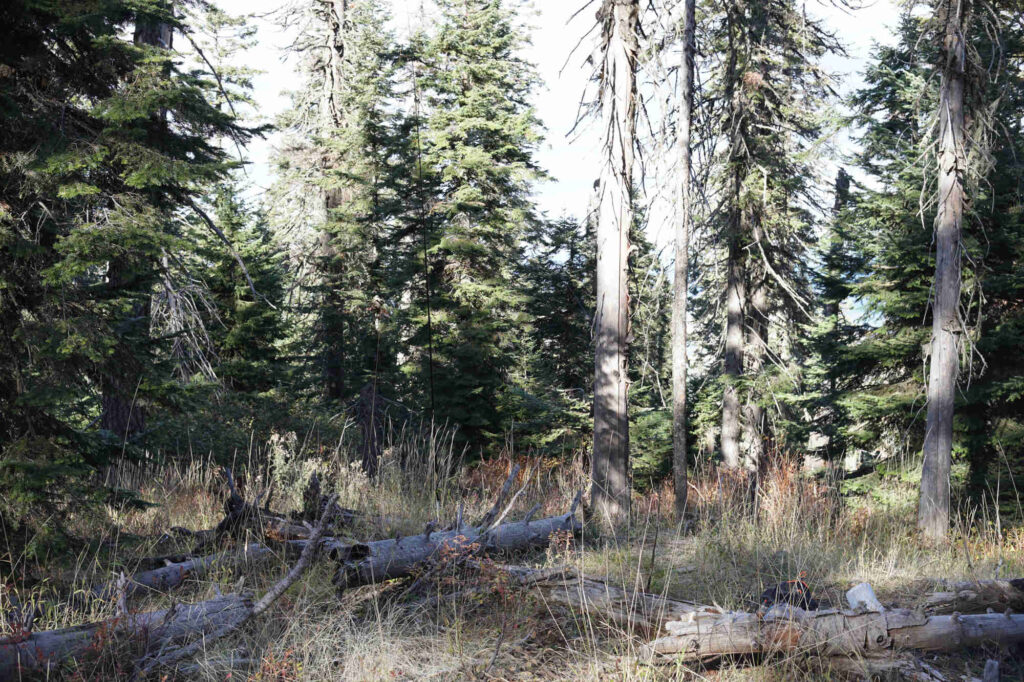
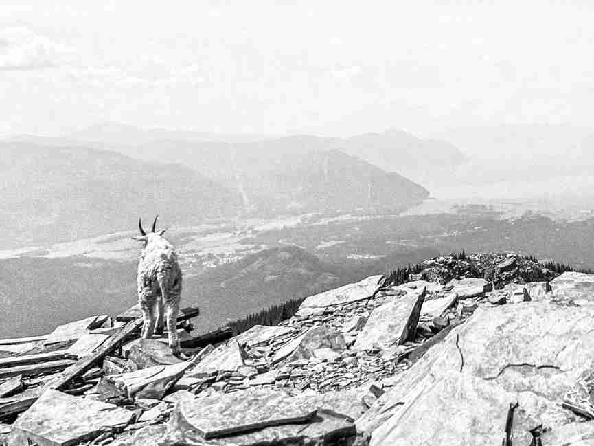
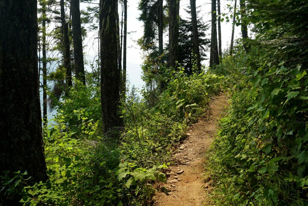
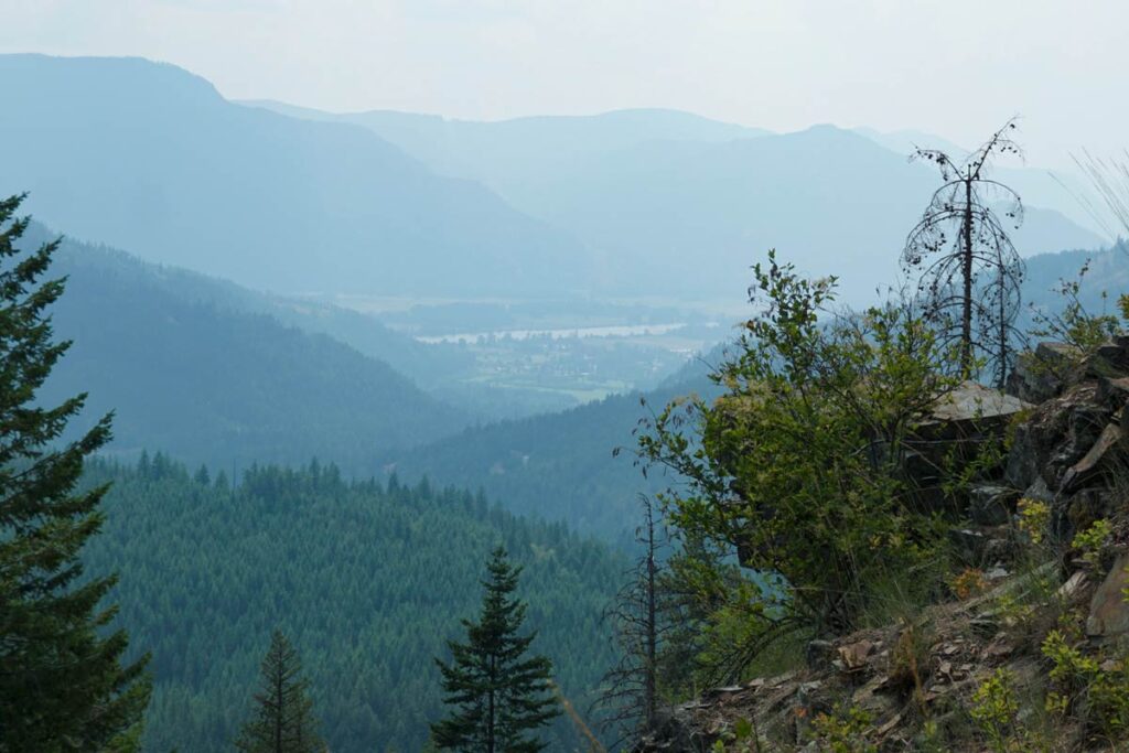
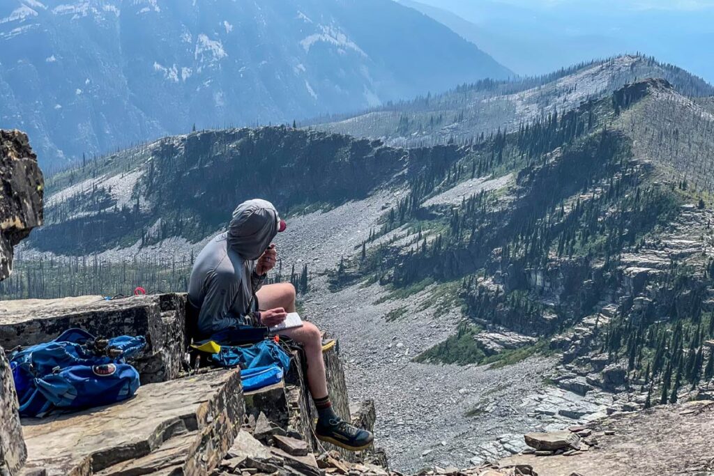
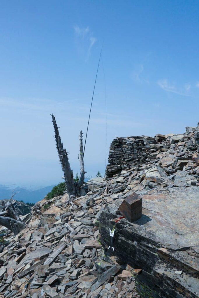
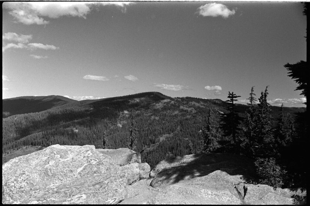
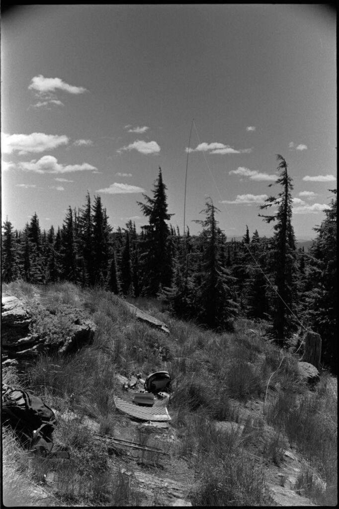
    Grandmother Mountain W7I/NI-085 was the first objective and a pleasant trail hike out to the top. Unactivated with a great view, I bagged the chasers on 40m then moved on to the next.

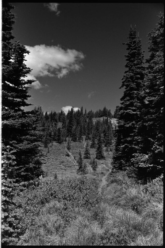
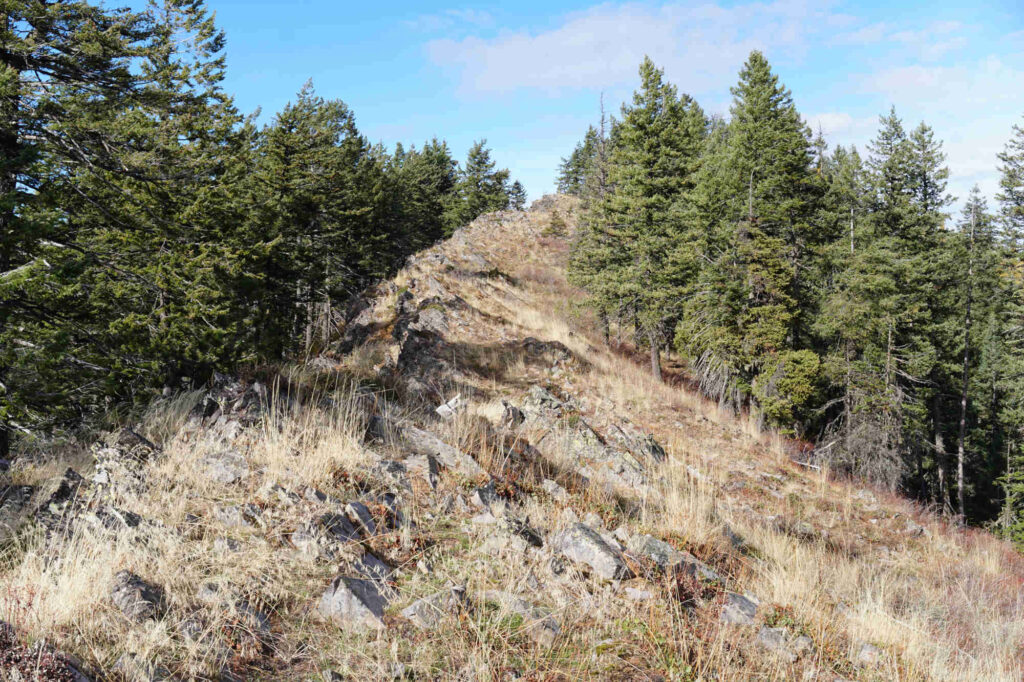
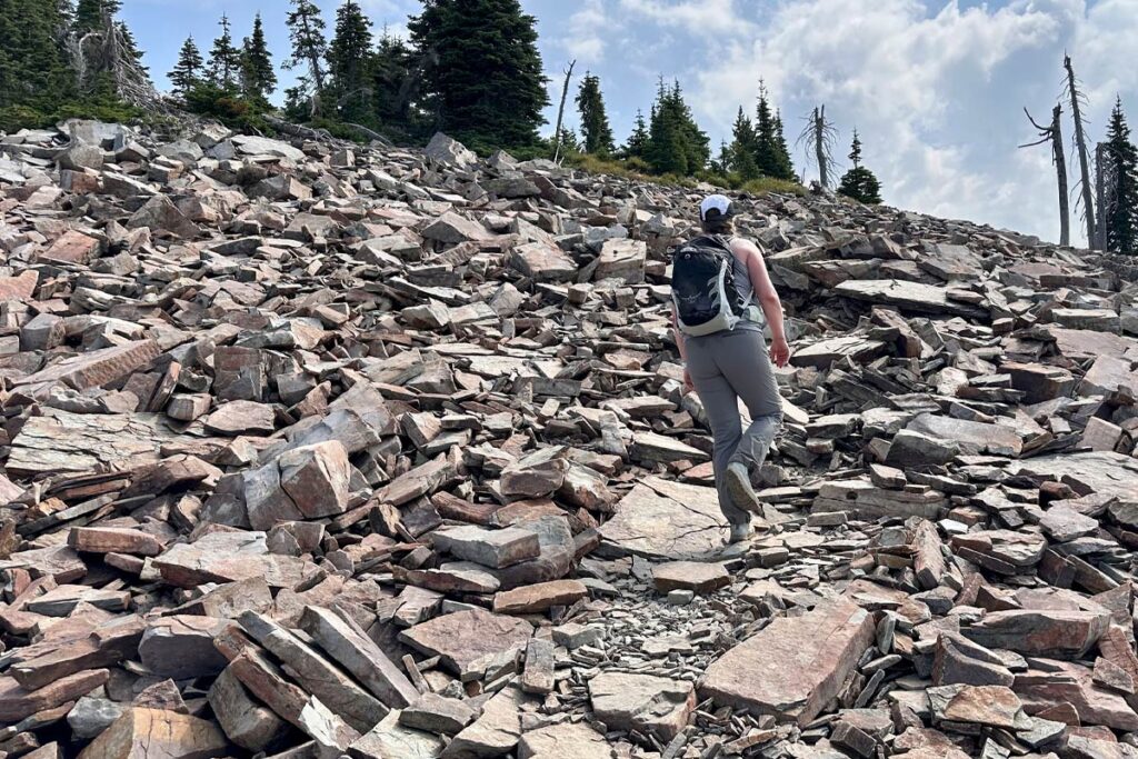
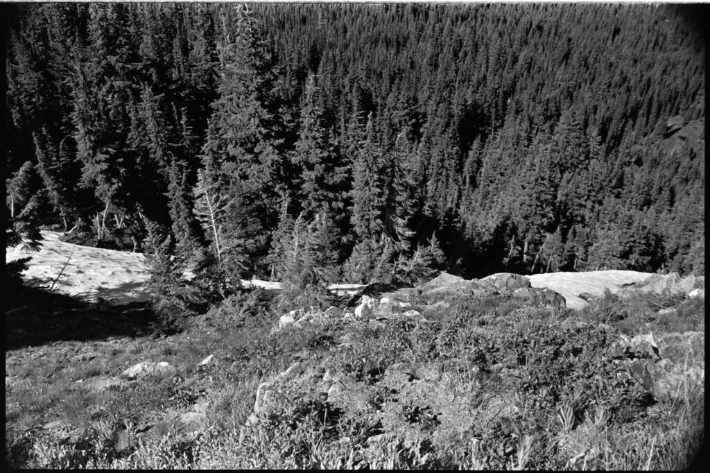
    Backtracking along the trail I came to an overgrown but established sidetrail heading east that seemed to head right below the summit I was aiming for, Mark’s Butte W7I/NI-092. After following this one for awhile, which was no breeze, I decided it was time to start heading straight up the hill. The saddle chute was pretty snowy and from what I could see, up the side was the best option.

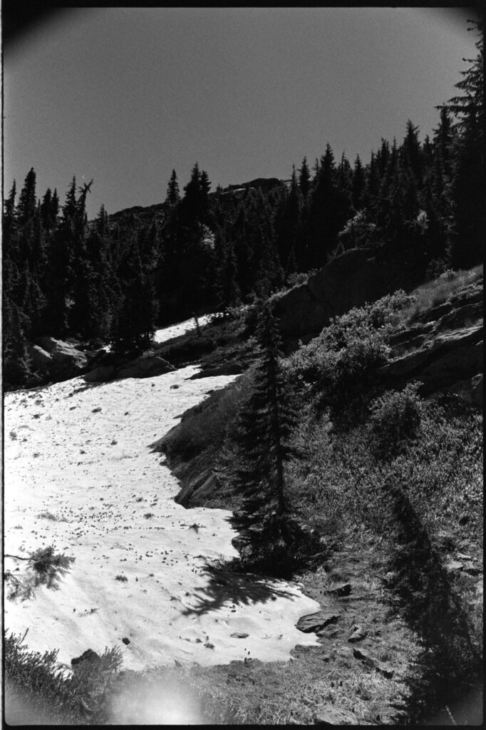
    This was a mistake. Incredibly steep with loose footing, it was a sketchy ascent that included several slips and a couple of near falls. As I got closer to the top, I soon realized I was in a pickle.

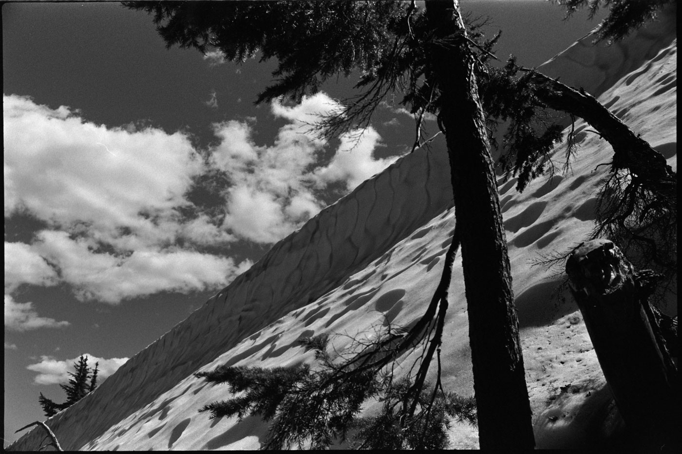
    The snow cornice above me was significant. It stretched about as far to the climber’s left as I could see, with a steep snow field below. Directly above was a no-go and going back down was, in my mind, not an option. It appeared as though this field of snow continued to far out to climber’s right as well, but the thick vegetation only gave me about 50 meters of sight.

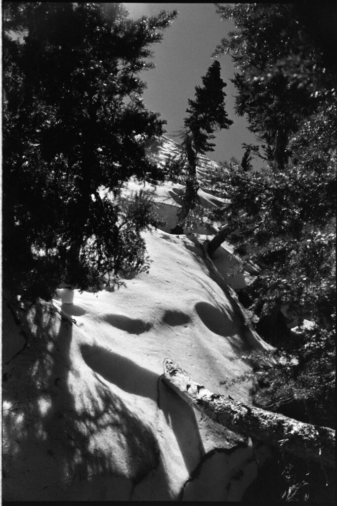
    This was a shitty spot to be in. I’ve been in some not-so-great situations in the outdoors and this felt like it could get real bad, real quick. So much so that I messaged my wife via the InReach with my location and said I was okay, but if you don’t hear from me in a few hours this is probably where I’ll be.

    Sitting down to take a beat, drink some water and eat a cliffbar, I worked through my options. Up and to the left would most likely end in a fall that would probably kill me. Back down might be the same, but the fall risk a little less due to the lack of snow. To the right was the known unknown—it might still end poorly, but there was a chance I could find a way.

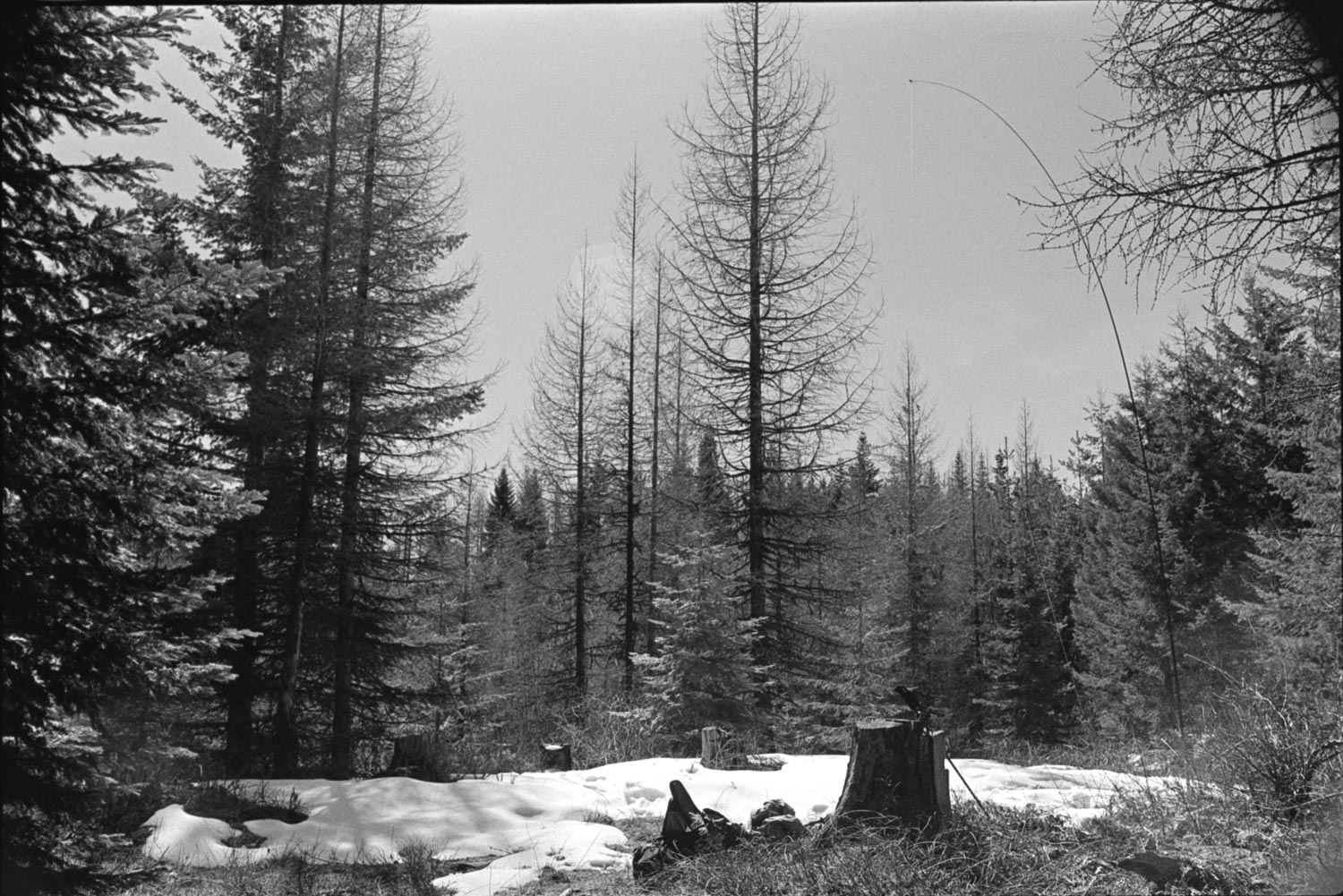
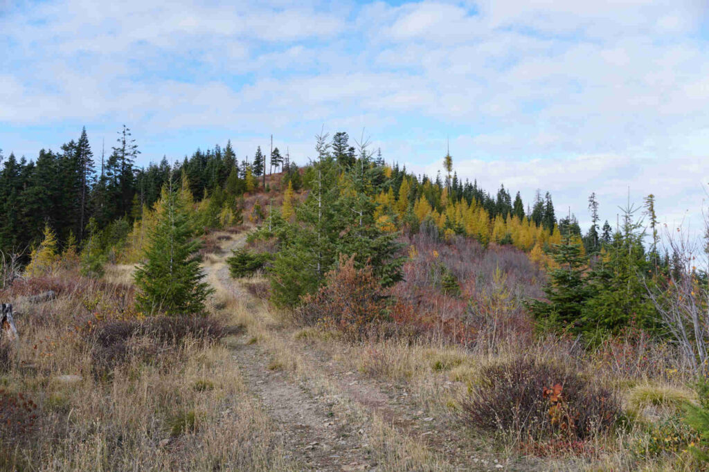
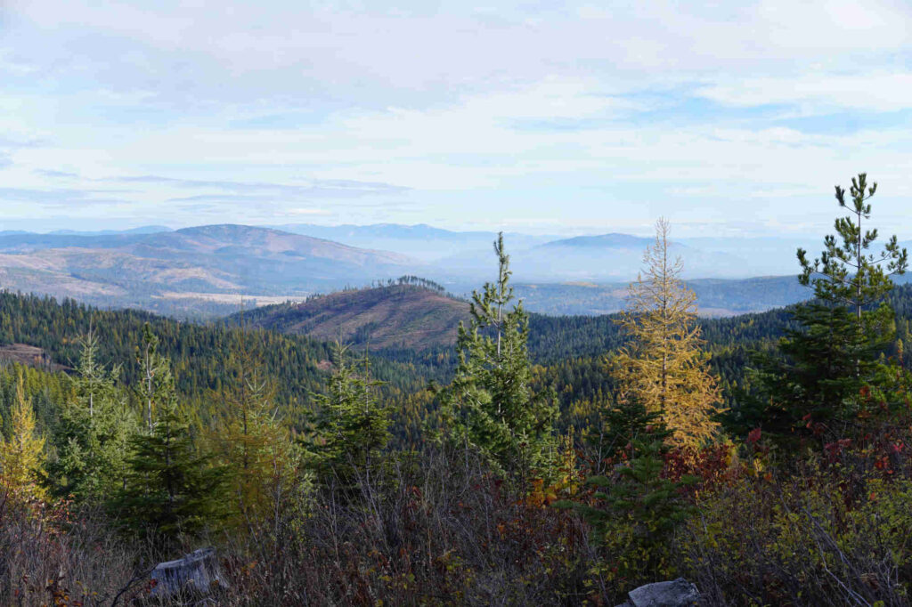
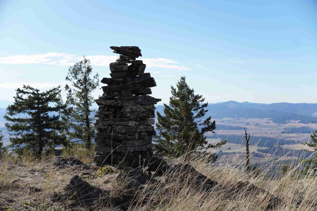
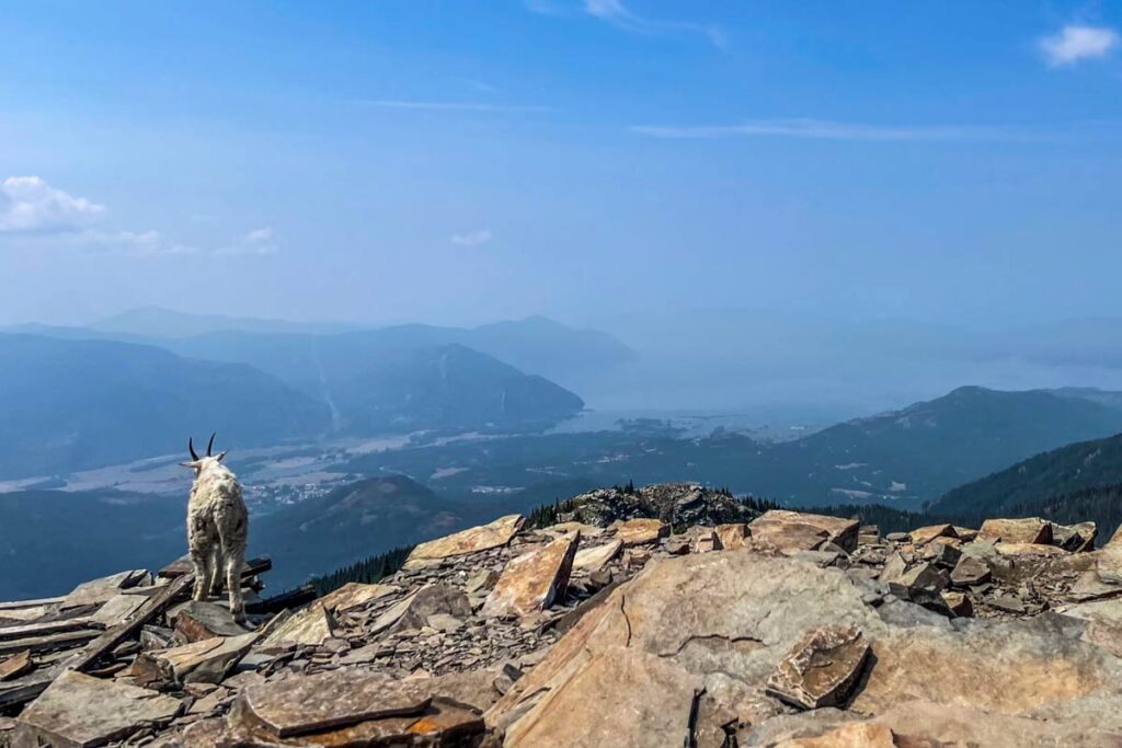
    The mountain gods gave me a nod because after a hundred meters or so the snow thinned out and I could see daylight above. Several more minutes of struggling but with renewed enthusiasm, I broke through to once of the nicest summit clearings in all of northern Idaho.

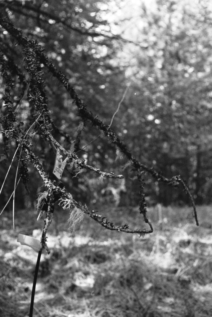
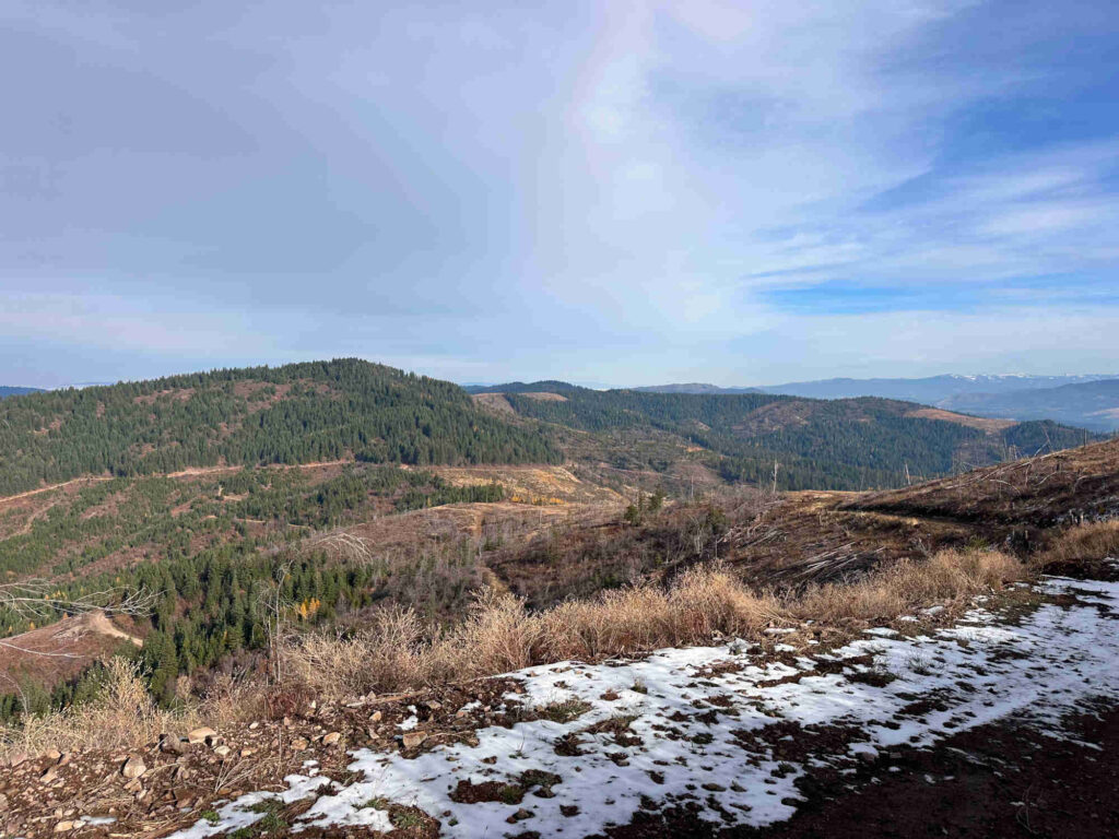
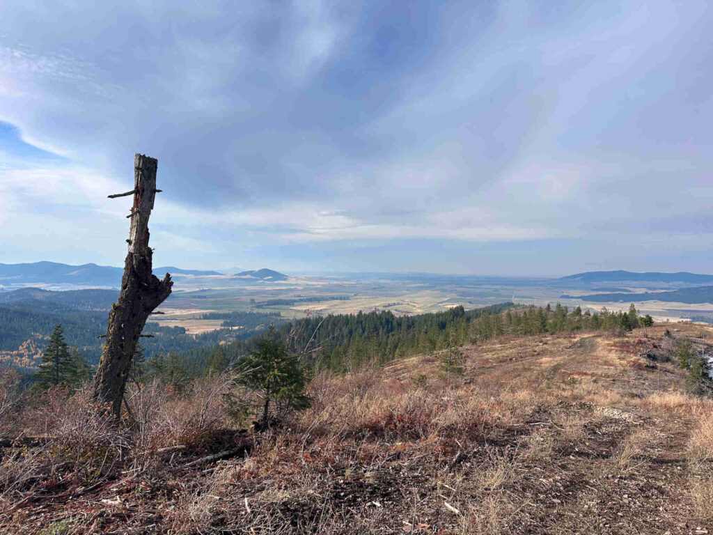
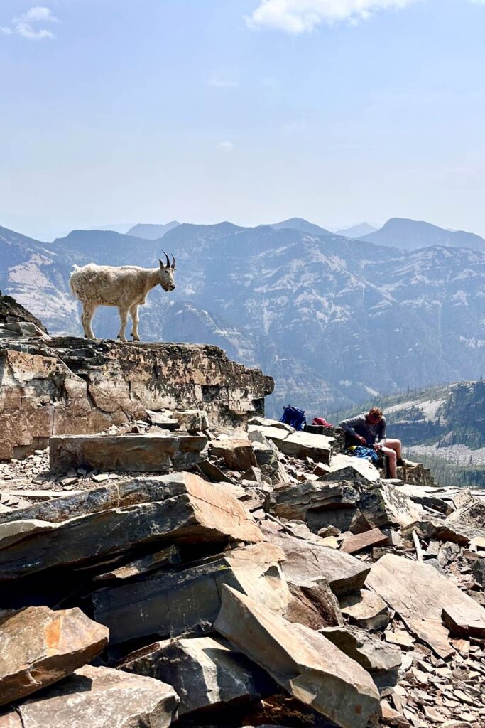
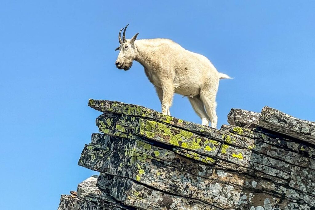
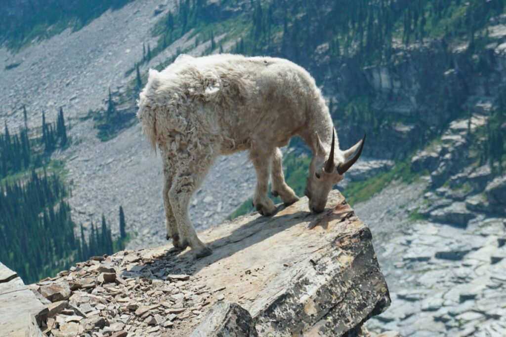
    In the above photos, I’m up on top of Mark’s Butte looking down over the cornice. Turns out, this entire area just below and to the east of Mark’s is named Freezeout Ridge—we seems a little too on the nose.

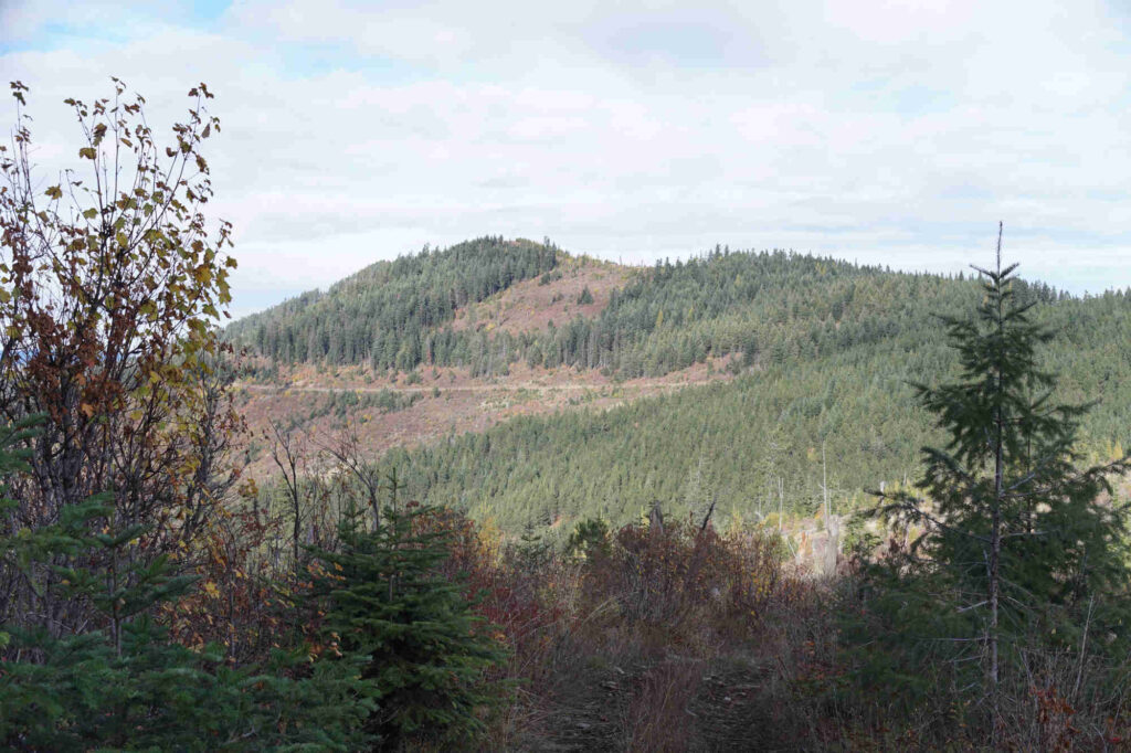
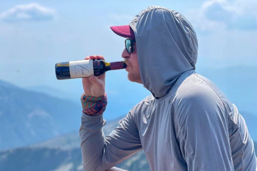
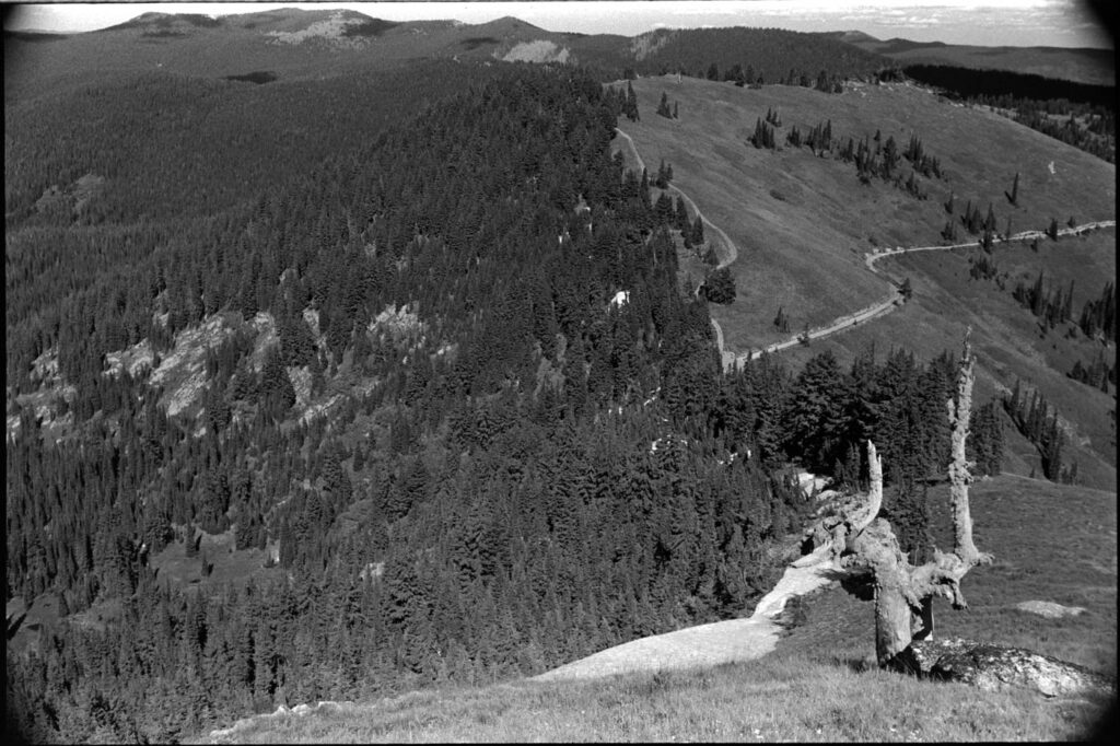
    I made a relatively quick activation of this guy but all I really wanted to was to get on the road back home. The climb down off of the west side of Mark’s quickly became crazy thick and a tough go. This day wasn’t going to let me off the hook easy.

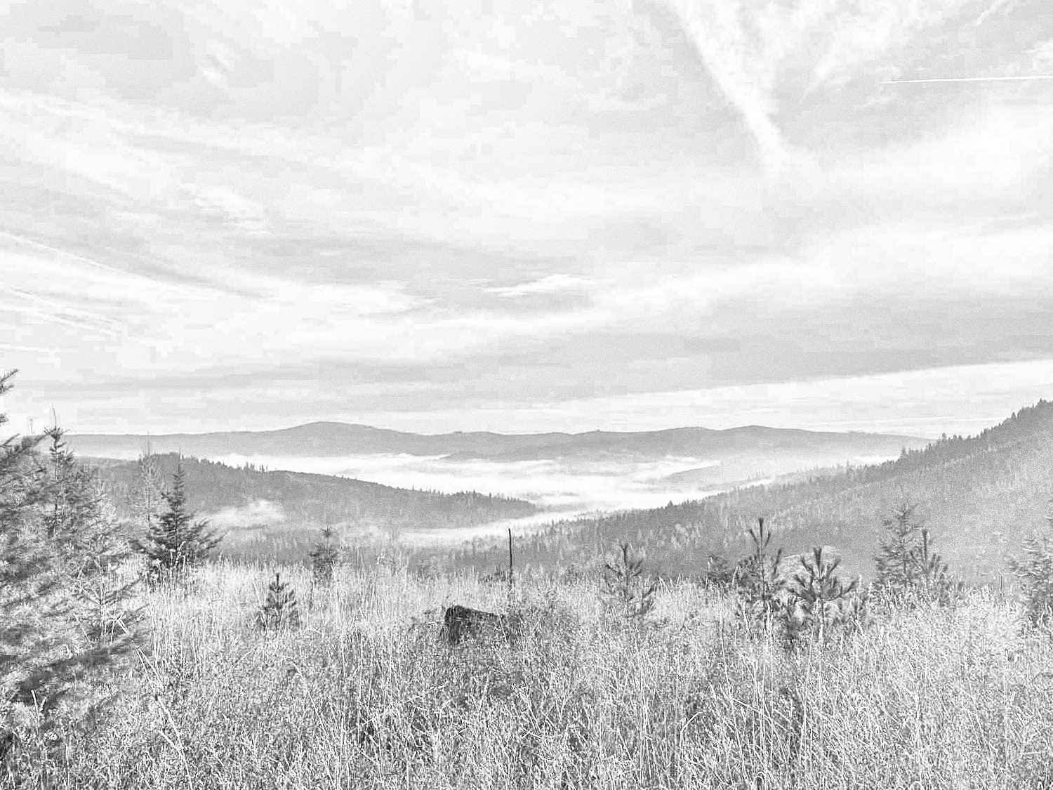
    I finally busted back out into the road and the rest is history. If I were to attempt Mark’s again, I would go at it from the road which is directly north. Surely there’s an easier way up.

  • Tamarack Ridge W7I/NI-256

    Tamarack Ridge W7I/NI-256

    Miles: 2.66
    Gain: 497ft
    QSOs: 6
    Points: 1

    A relatively easy summit to bag, the biggest cost was the time it took drive the Forest Service roads to get to the start. This is Idaho, so it should go without saying that there’s logging activity. I keep thinking I should nab myself a little CB radio so I can monitor the posted channels when I head into these areas.

    Plenty of parking area at the gated start, there was a nice trickle of fresh snow melt coming off the hillside. The walk in was a gradual climb that’s hardly worth mentioning. Once getting a bit higher, coincidentally where all of the trees are cut down, the views are rather interesting if you can look past the coniferous carnage (pardon my poetry).

    At some point there road turns and you might be tempted to follow it, but going straight through the trees and right up the side of the hill is the quicker option. The true summit was a little difficult to find as the veg was pretty thick and I don’t think the map data is totally accurate. Regardless, I made it to where the GPS pointed me and was within the activation zone, so up the goes the wire.

    The 20-meter band was BUSY so after answering WD9DWD’s CQ for the Handiham‘s QSO event (a long-distance Idaho to Idaho call), I spotted myself and was greeted by personal chasers N0WAE and WW7D, plus a couple of summit-to-summits which I always enjoy.

    Back down the car for a nice drive out and a celebratory pint of Pilsner at Pour Company. Gotta pat myself on the back for a good afternoon touching grass and nabbing another first activation.

  • A Snowy Spring FA: W7I/NI-274

    A Snowy Spring FA: W7I/NI-274

    Summit: W7I/NI-274 “Hill 3860”
    Miles: 3.42
    Gain: 687ft
    QSOs: 6
    Points: 1

    For April 4th the weather was prime, though I should’ve started earlier in the morning when it was colder—more on that later. The turn off for the FS roads/trails was completely snowed in (see photo), so I parked off of the hwy a hundred yards up at a better pull around.

    Gate for the road up was locked and I’m not sure if it’s seasonal or if it’s just perma-locked. The snow was relatively deep at a good 4-8″ for a majority of the hike. Luckily, I was staying on top of the crust as I didn’t bring snowshoes or even more regrettably, gaiters. The path up is a forest road, making it easy to follow and I assume that holds true in the summer. As I gained altitude and the road became more exposed, the post-holing started.

    At some point I could tell that I was just below the activation zone but my planned route had another half mile or so to go. The post-holing was becoming obnoxious so the decision was made to just ascend through the trees straight up the hill. Lots of animal sign up there.

    The AZ was relatively clear and made for a nice place to set up an antenna and operate. Not much of a view but I was happy to have some sunshine and a little bare ground.

    Band conditions seemed sub-optimal so after making six contacts and not hearing much else, it was time to head back.

    At this point the temps had warmed and the sun was high. While 80% of my steps on the way up stayed on top of the firm snow crust, now 80% of my steps were breaking through and I was sinking ankle-to-knee deep. That was tough going and I badly wished I had brought my gaiters. A lesson learned.

  • Another Dual F.A. Day: W7I/NI-268 + W7I/NI-269

    Another Dual F.A. Day: W7I/NI-268 + W7I/NI-269

    The temps have officially dipped and we’re in the shoulder season of unpredictable and generally unfavorable weather. Saturday looked to offer a bit of a window, so I dug out a rough plan to work two more unactivated W7I summits: NI-268 and NI-269.

    This pair was super close to one another and road access seemed open, and it was indeed. The drive in via Winfall Pass Road was downright pleasant with some of the widest, smoothest dirt I’ve been on all year. I parked in a saddle right between the two summits which I internally referred to as the ‘ham cleve’ and flipped a coin on which to tackle first.

    The southern summit, 268, was a nice roadwalk up to the very top. There had been some active logging recently as I passed multiple smoldering burn piles. The AZ was wide open with a few standing trees and plenty of downed branches to which I could attach the ends of my antenna wire.

    After 5 QSOs I packed up and started booking it to 269. The initial approach was much the same but this summit was still heavily treed and the roads suggested by the historical maps were no longer there. Things got thick quick, and once I found myself within the AZ I began looking for somewhat of a clearing in order to get a wire up.

    Due to limited space, I opted to just run my EFHW as a 20/10 sloper (rather than the usual 40/20/10 inverted-v). It got the job done with 5 QSOs on 20m (including 2 summit-to-summits) and 2 more QSOs on 10m. Clouds rolled in and the temps really dipped during this one, so after exhausting the quiet 10 meter band I tore down and got back down the hill to the car.

    Next time, I would follow the two-track as far as I could towards 268 before bushwhacking a little as possible straight up the hill. Not sure it’s really worth it for 1 point, but everything else about this activation was pleasant so I’m sure I’ll do it again next year.

  • Dual Idaho F.A. Day: Moses Mountain NI-207 + Tensed Benchmark NI-223

    Dual Idaho F.A. Day: Moses Mountain NI-207 + Tensed Benchmark NI-223

    Found a couple of not-yet-activated summits just north of me and across the state line into Idaho: Moses Mountain W7I/NI-207 and Tensed Benchmark W7I/NI-223. The two activation zones are only about 5.5km from eachother and the weather for this day was looking prime so I figured this would be a good opp for my first two-summit day.

    The drive out wasn’t too bad. AWD definitely needed and the clearance on my Honda Element was plenty. It was logging country and whether or not people were supposed to be out there was a little questionable, but nothing explicitly posted no trespassing, so I parked down the hill from Moses Mountain and bit off the main road.

    Tensed BM was first and very nice hike along two-track trail pretty much the entire way. At the summit a big rock cairn and that felt like a good spot to set up the radio and get cracking. After 8 QSOs I packed up, at my slice of leftover pizza from earlier in the week, and headed back towards Moses Mtn.

    The trail up towards Moses’ peak fizzled out quickly it became a bushwhack up the side of the hill. Nothing impassable, but I got some good leg scratching today. After getting 7 QSOs in the bag, I decided it was probably time to start my way back down. The air was chilling and the sun was going down on this early fall day.

    Big thanks to WW7D, my #1 all time chaser, who sought me out on both summits today.

  • Gravel Bike SOTA: Prospect Peak W7I/NP-265

    Gravel Bike SOTA: Prospect Peak W7I/NP-265

    Naturally, I’ve been spending a fair amount of time looking at the map of my surrounding summits, plotting my next weekend. Prospect Peak W7I/NP-265 was this past weekend’s target; my brother-in-law was in town with his gravel bike so I selfishly plotted a rideable activation and invited Pete, my local riding buddy. The three of us met up in nearby Potlatch, Idaho where we refilled water bottles and watched the near-distant storm lightening and thunder.

    The ride from Potlatch was about 14 miles with 2,350 ft of gain taking us near the activation zone. It was a surprisingly good route with good amount of climbing but nothing depleting. Once we got near the top, we stashed the bikes in bushes and shwacked the last 200 ft or so up to the summit.

    On top I unrolled the Packtenna 20m EFHW, got it up in the air, spotted myself and almost immediately nailed down five contacts. The calls dried up and, without any other bands to work (and with riding buddies starting to look bored), I packed up and we rolled back out.

    This was my 5th SOTA activation and, besides some 2m VHF, all of my HF contacts have been on 20m because… well that’s the only antenna I have. This is something I want to change so that I can work more potential chasers. There’s a project in my future.

    Thank you to my chasers: KI7QEK, KJ7NDY, WB6POT, AG5HV, KF9D

    https://www.instagram.com/reel/C-QWbUzPA0D

  • Scotchman Peak: An Ungulate Activation

    Scotchman Peak: An Ungulate Activation

    Some friends invited us along for a Northern Idaho weekend to hike the famed Scotchman Peak, just outside of Sandpoint. It didn’t take much convincing, that with the challenge of the hike, mountain goats at the top, the promise of beers with friends afterwards… oh and it’s SOTA summit. Go figure.

    The trek to the top was steep but uneventful, at least until you break through the treeline, then the views start to hit. It was right about that point when our group paused when I took off ahead knowing I had some setting up to do. At the summit there was plenty of space to hang out so I found a little rock perch to operate from, strapped my mast to a snag, and got to work.

    This was only my fourth SOTA activation; contacts seemed to be a little tricky that afternoon and I had friends waiting at the top, so I made QSOs and after no further chasers came forward I called it good. The mini bottle of Cabernet from the AirBNB tasted mighty fine at 7000ft, and the view wasn’t too shabby, either.

    Thanks to my chasers: WA6KHK, WA7G, W0MNA, WV0X, K3ENE