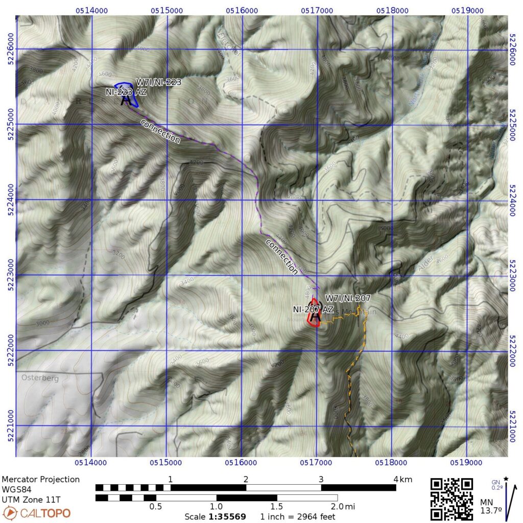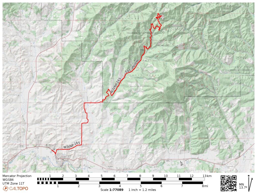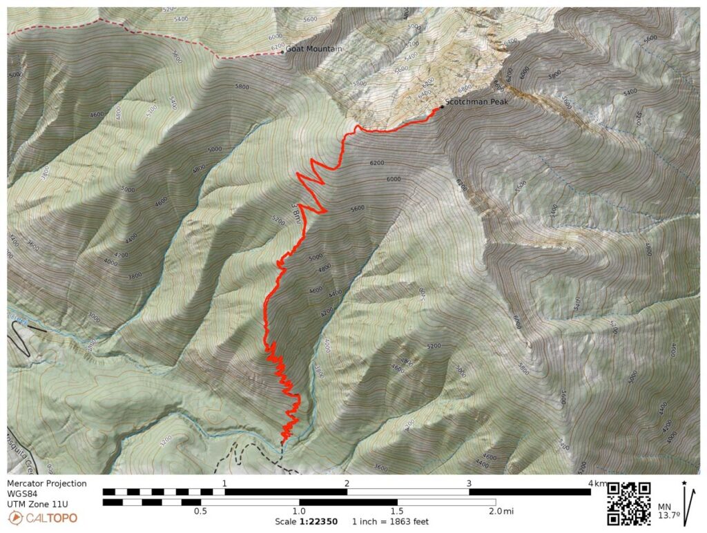
Summit: W7I/NI-274 “Hill 3860”
Miles: 3.42
Gain: 687ft
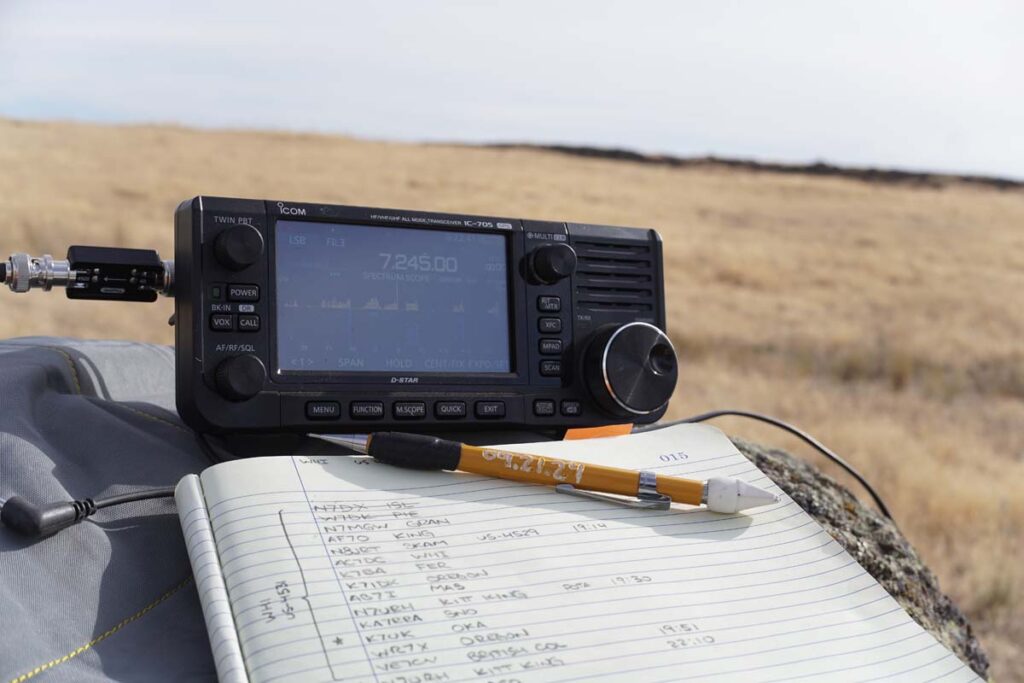
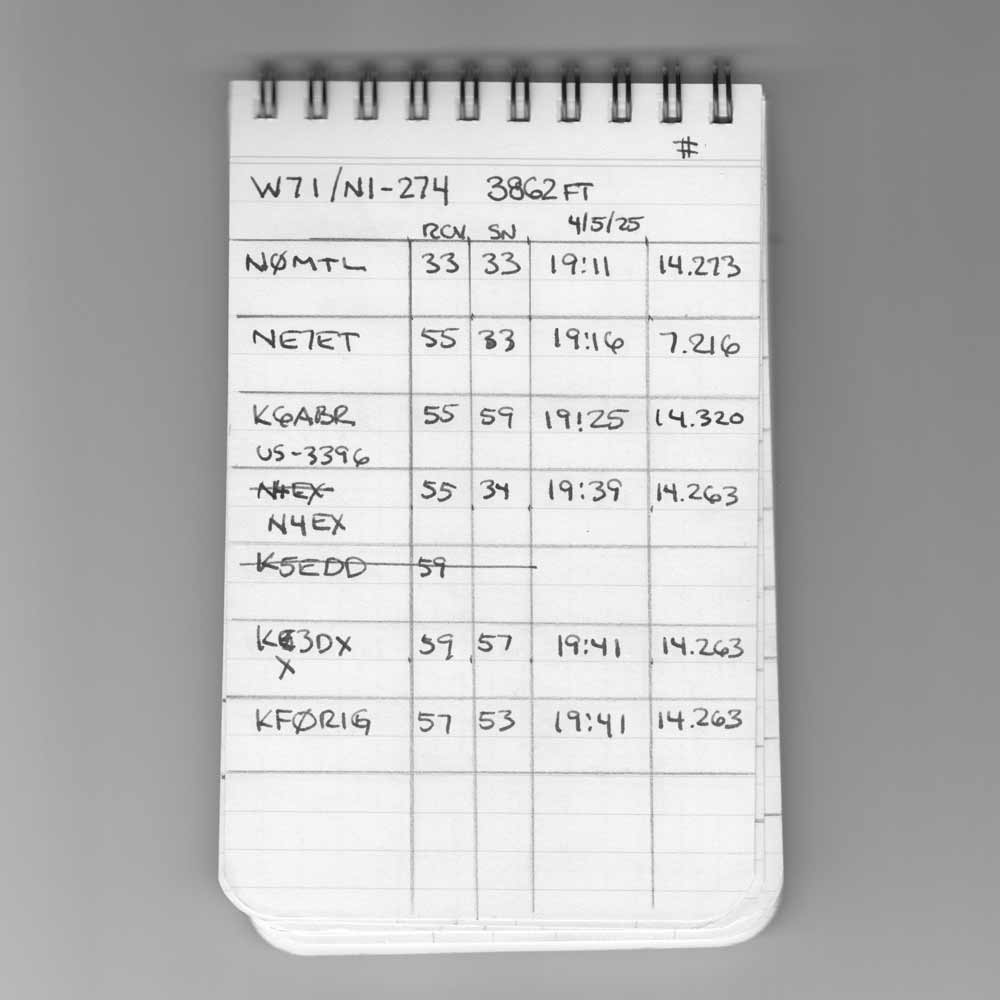
QSOs: 6
Points: 1
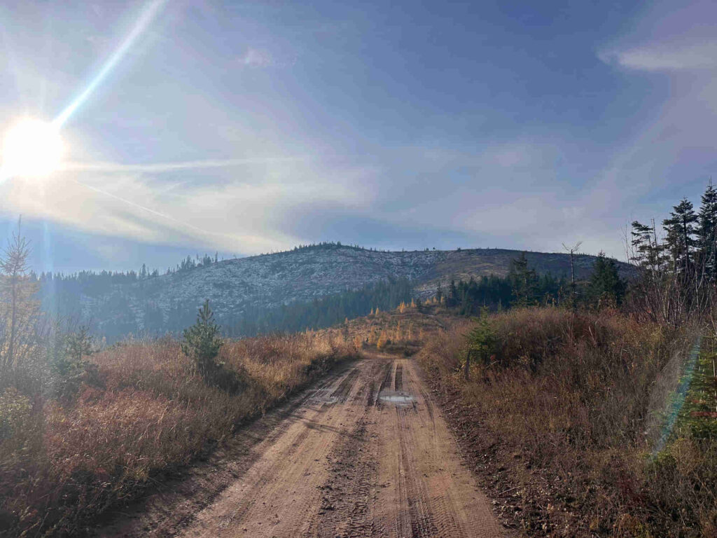
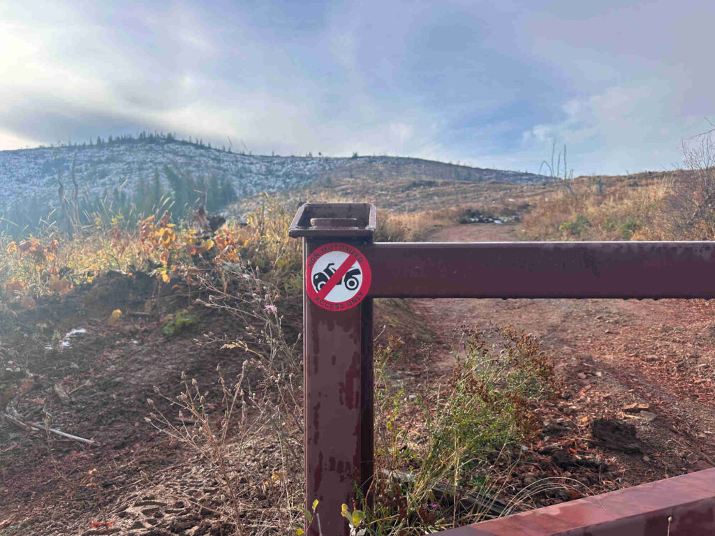
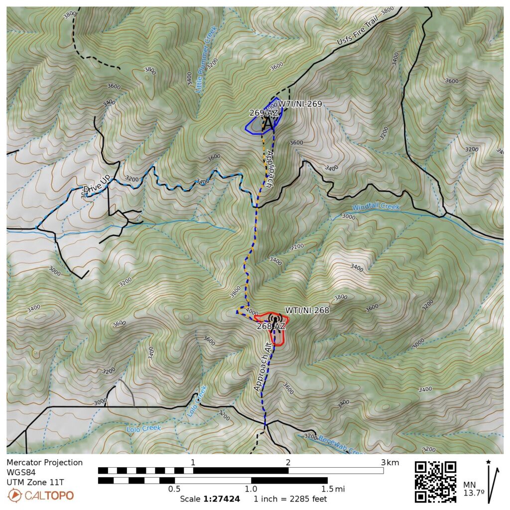
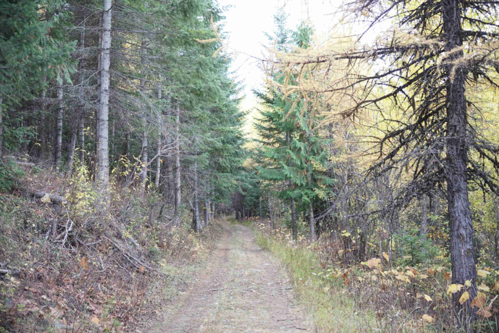
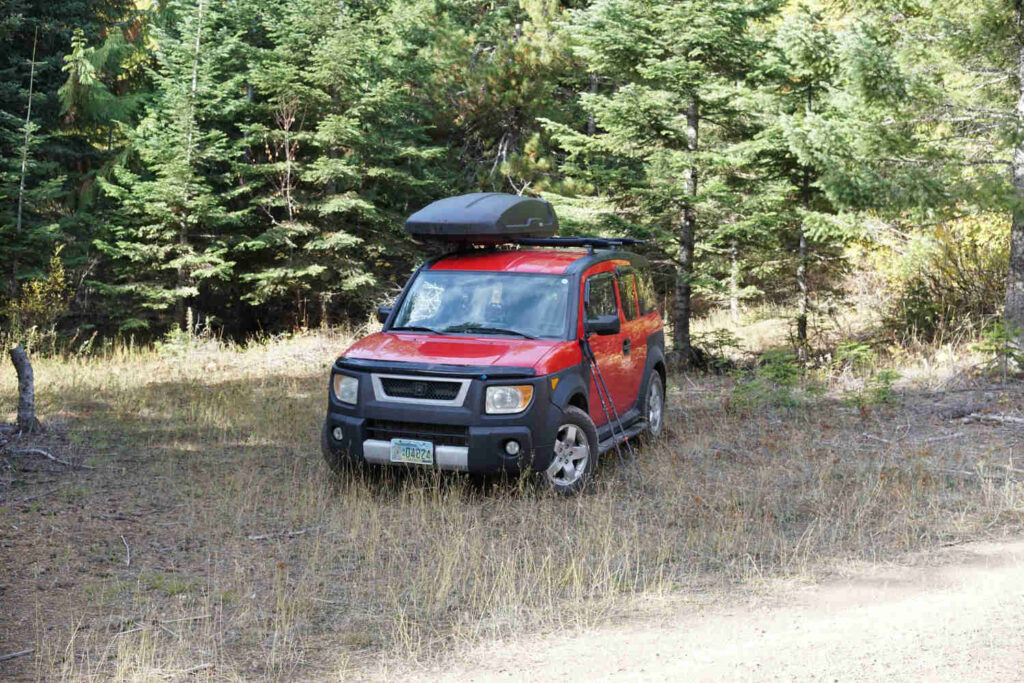
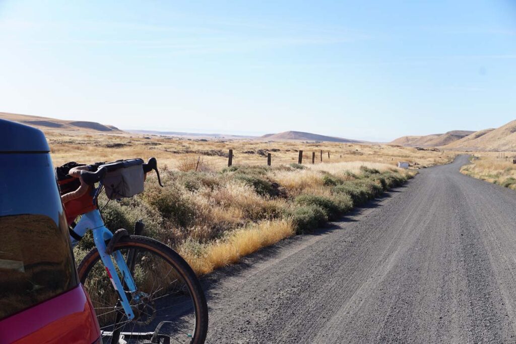
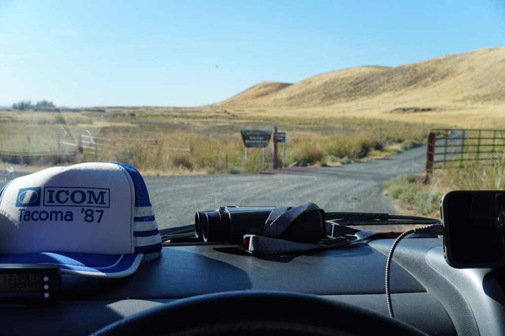
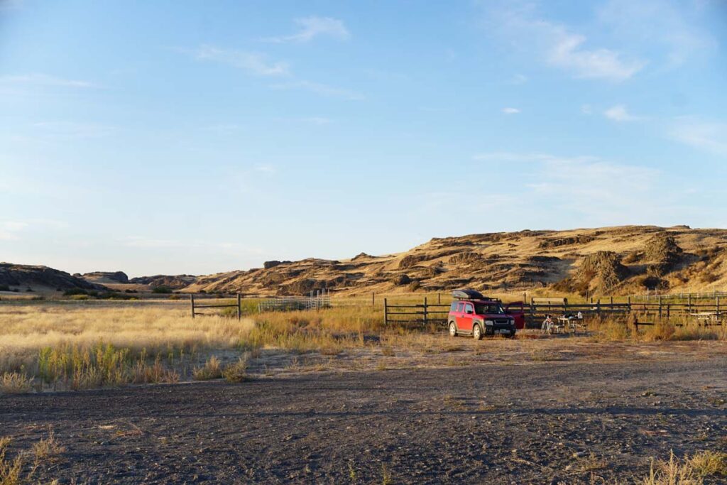
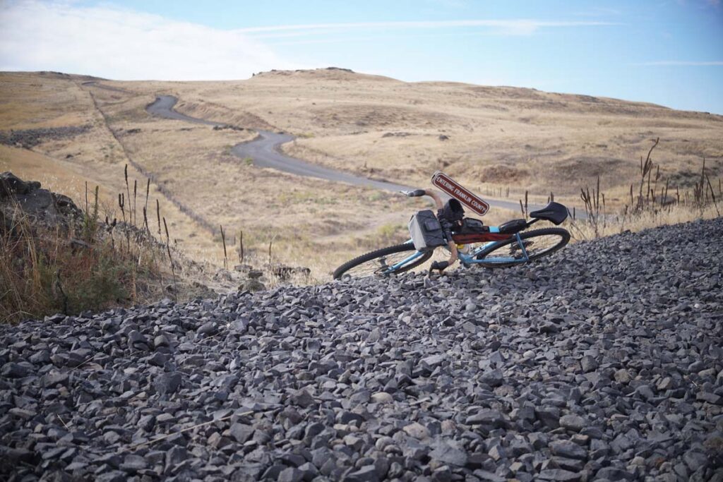
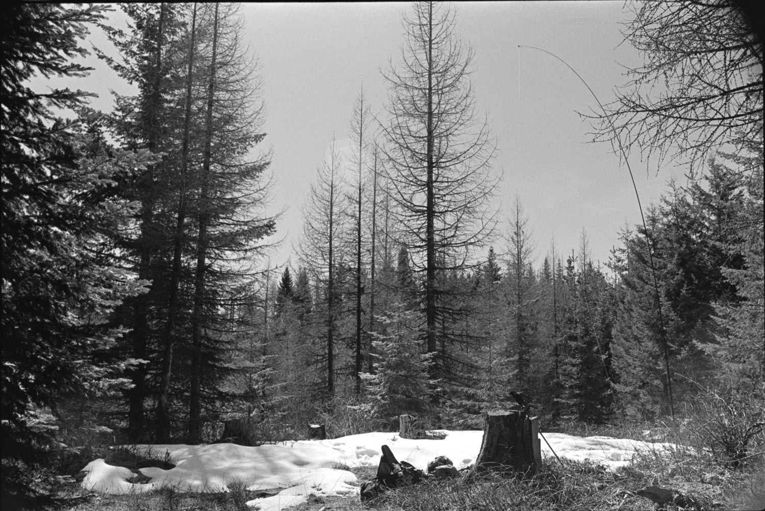
For April 4th the weather was prime, though I should’ve started earlier in the morning when it was colder—more on that later. The turn off for the FS roads/trails was completely snowed in (see photo), so I parked off of the hwy a hundred yards up at a better pull around.
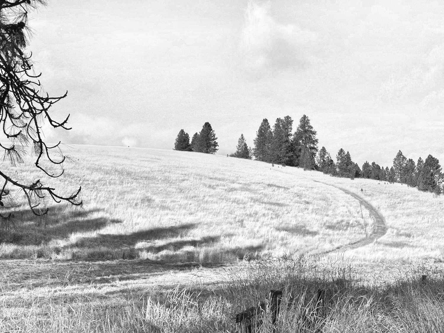
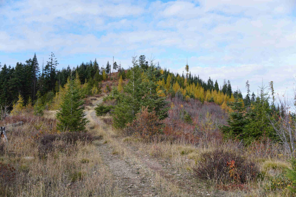
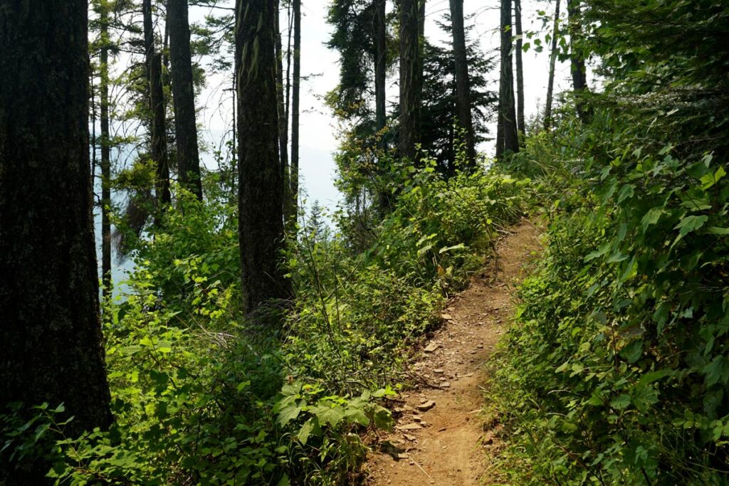
Gate for the road up was locked and I’m not sure if it’s seasonal or if it’s just perma-locked. The snow was relatively deep at a good 4-8″ for a majority of the hike. Luckily, I was staying on top of the crust as I didn’t bring snowshoes or even more regrettably, gaiters. The path up is a forest road, making it easy to follow and I assume that holds true in the summer. As I gained altitude and the road became more exposed, the post-holing started.
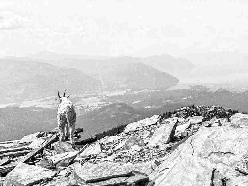
At some point I could tell that I was just below the activation zone but my planned route had another half mile or so to go. The post-holing was becoming obnoxious so the decision was made to just ascend through the trees straight up the hill. Lots of animal sign up there.
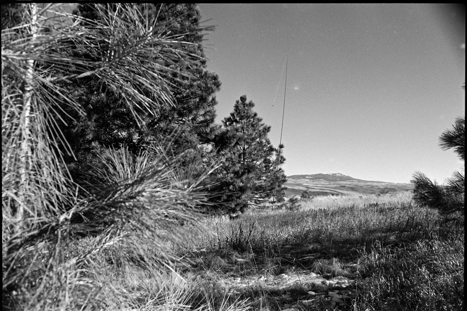
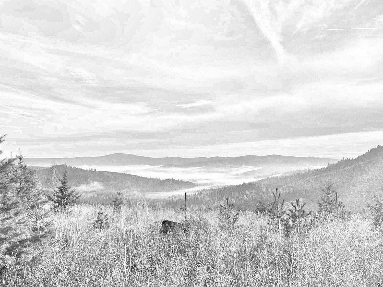
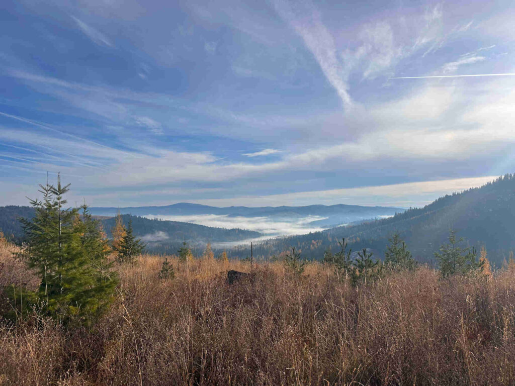
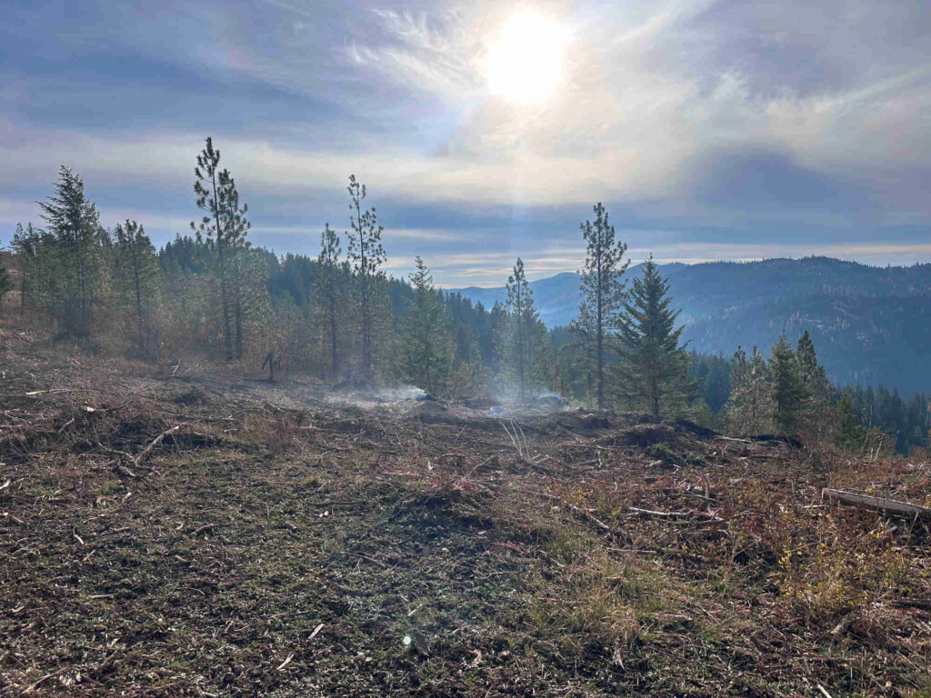
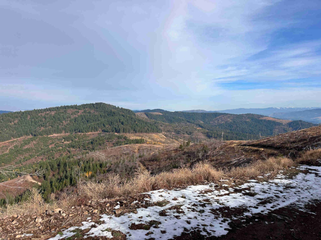
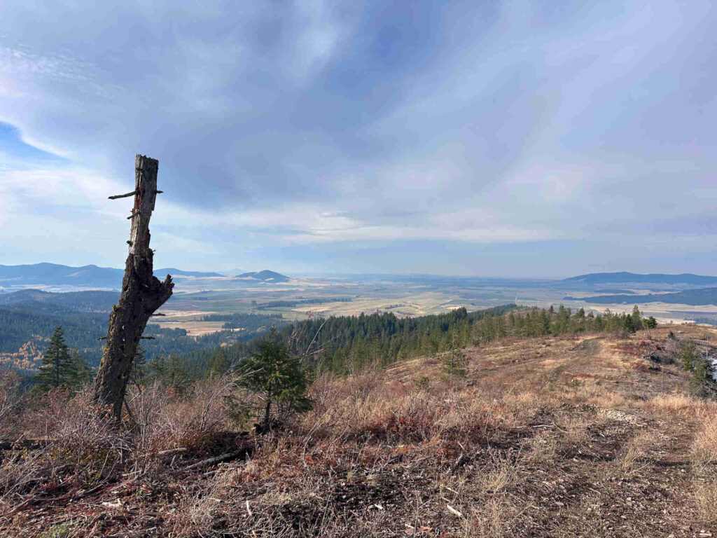
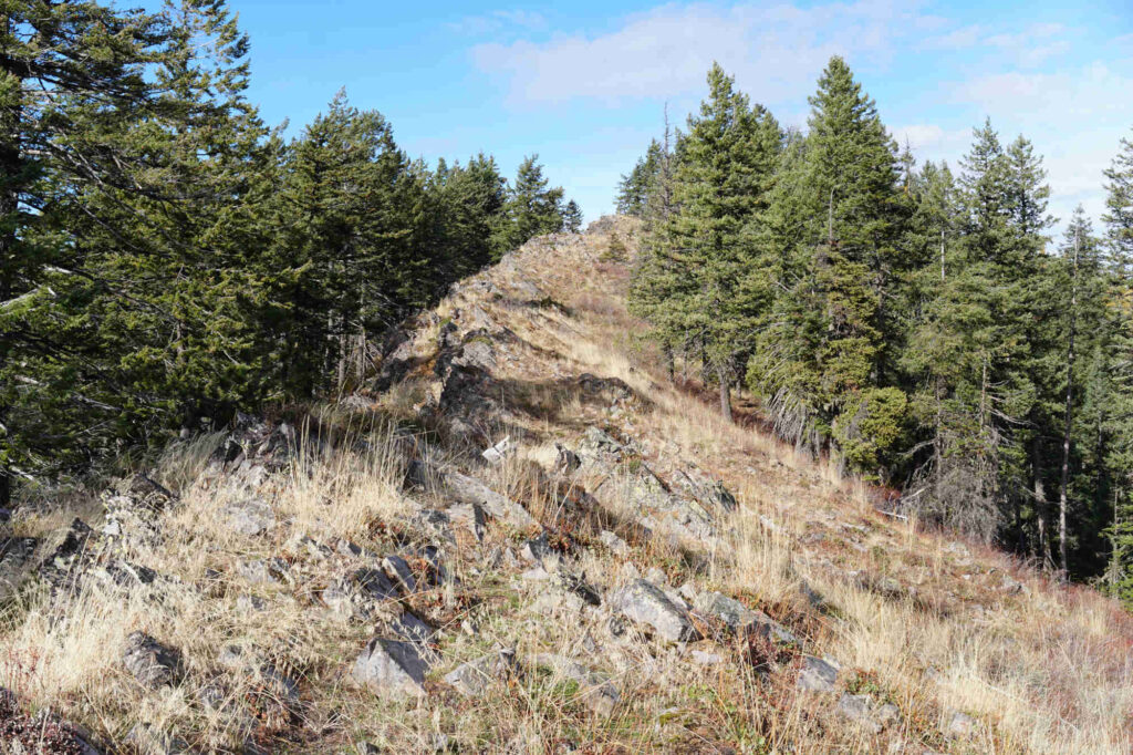
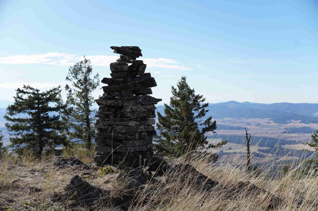
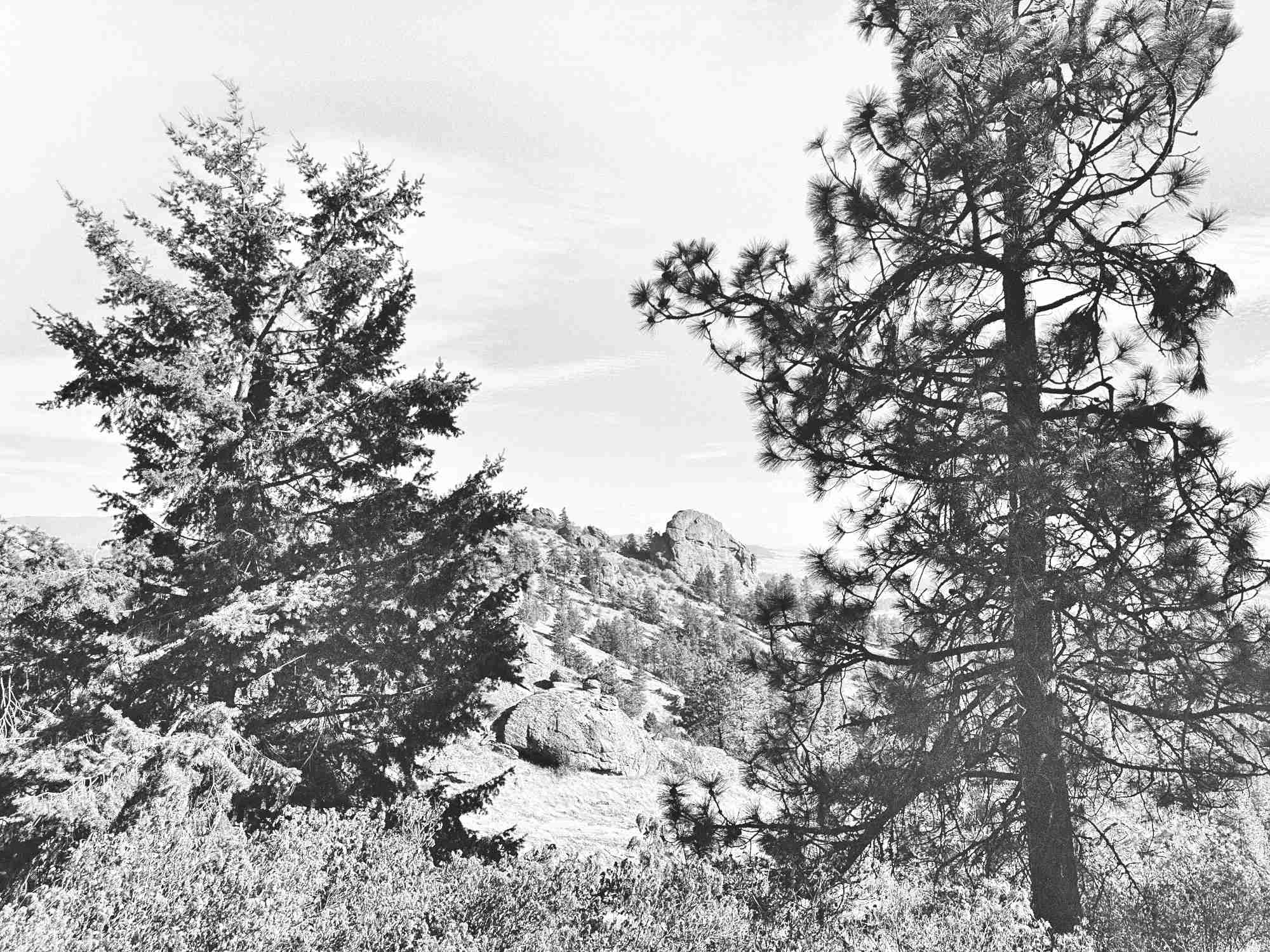
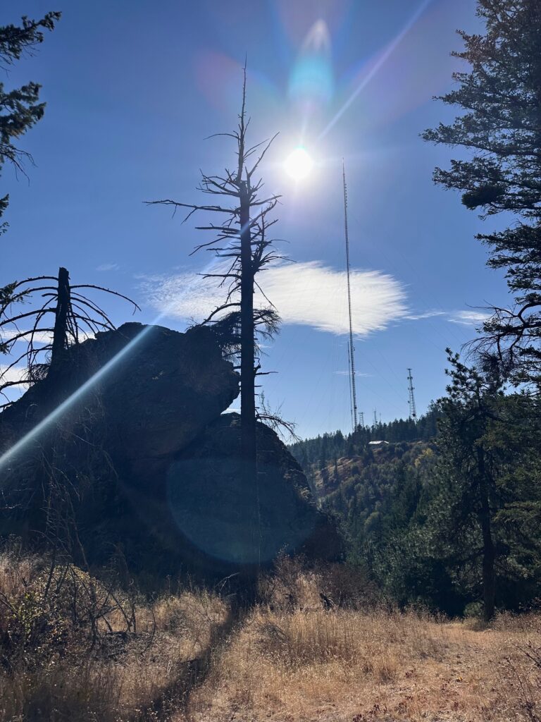
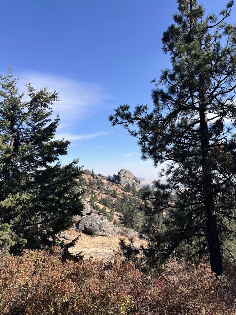
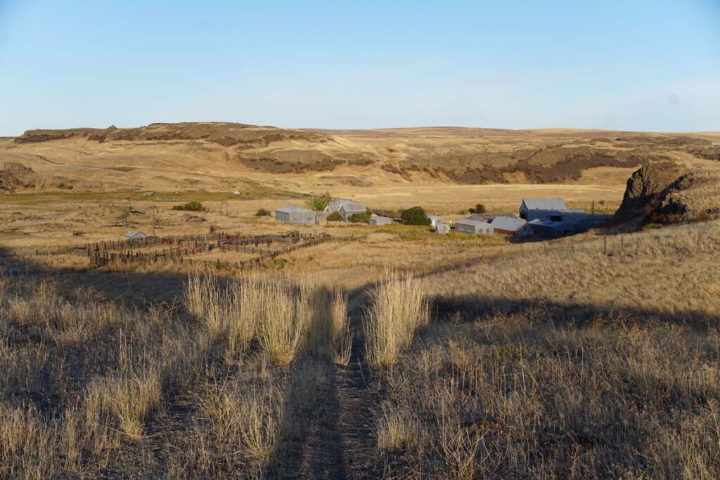
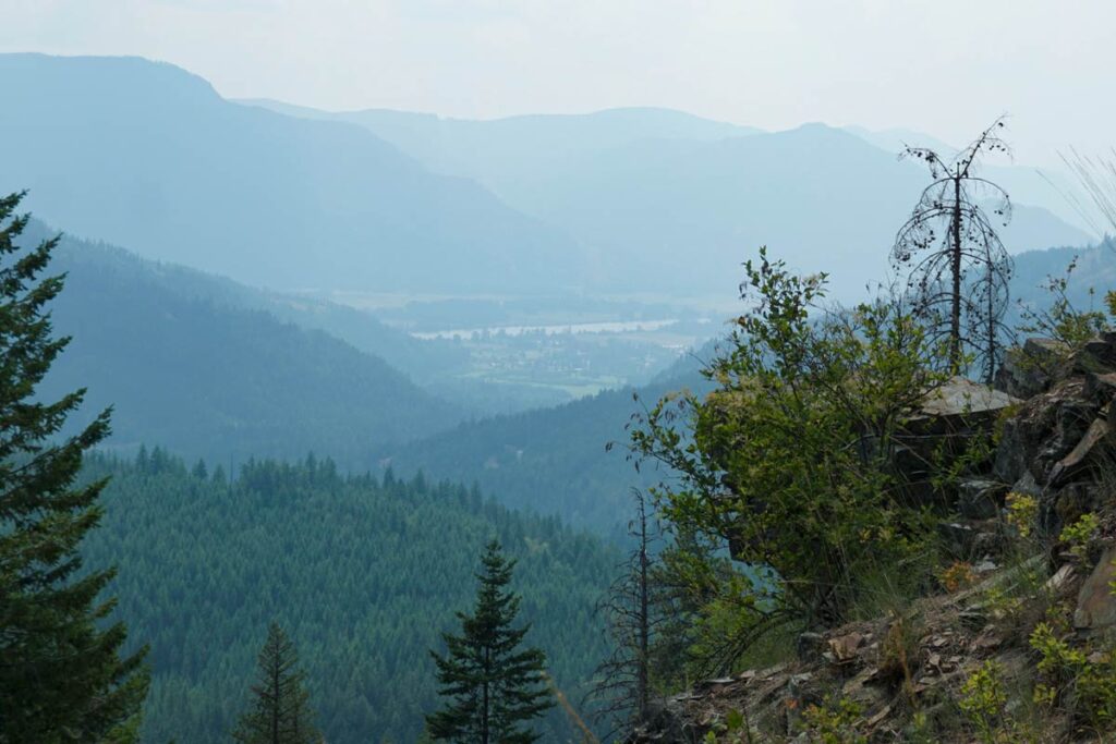
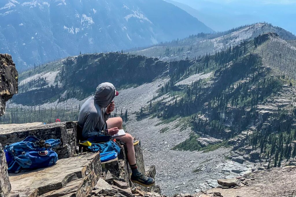
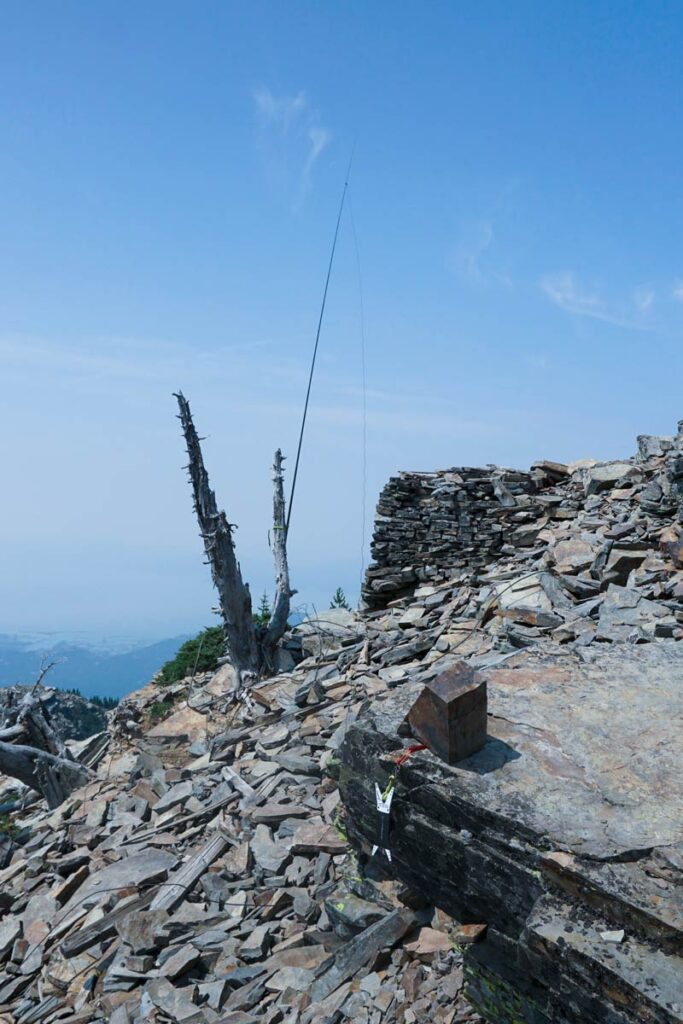
The AZ was relatively clear and made for a nice place to set up an antenna and operate. Not much of a view but I was happy to have some sunshine and a little bare ground.
Band conditions seemed sub-optimal so after making six contacts and not hearing much else, it was time to head back.
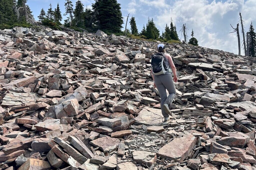
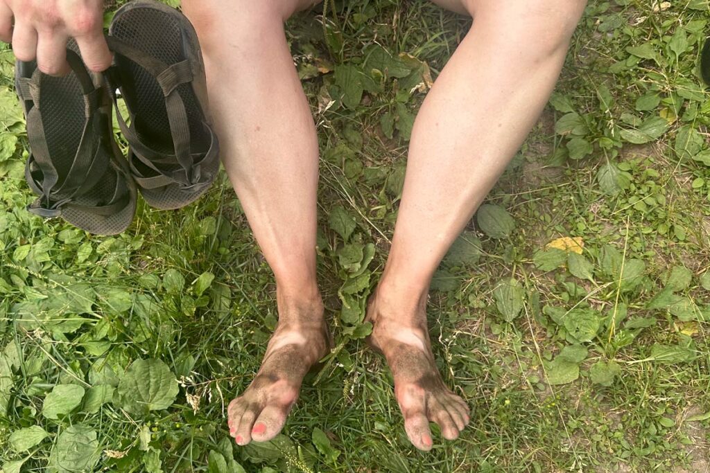
At this point the temps had warmed and the sun was high. While 80% of my steps on the way up stayed on top of the firm snow crust, now 80% of my steps were breaking through and I was sinking ankle-to-knee deep. That was tough going and I badly wished I had brought my gaiters. A lesson learned.