Category: hike

  • Mount Saint Helens

    Mount Saint Helens

    The summit that started it all. When 2024 began I had no knowledge of SOTA and only a vague familiarity (but zero interest in) ham radio. For whatever reason, YouTube began to feed me some video about ham radio and a volcano. I vehemently ignored it, perhaps even clicking the “not interested” option, but the algorithm persisted.

    Finally I gave in and my eyes went wide with curiosity—there was a guy scree-surfing on top of a windy Mount Saint Helens with a handheld radio talking to someone else [turns out] on another summit. I didn’t know what I was watching, but I knew that I wanted in on it.

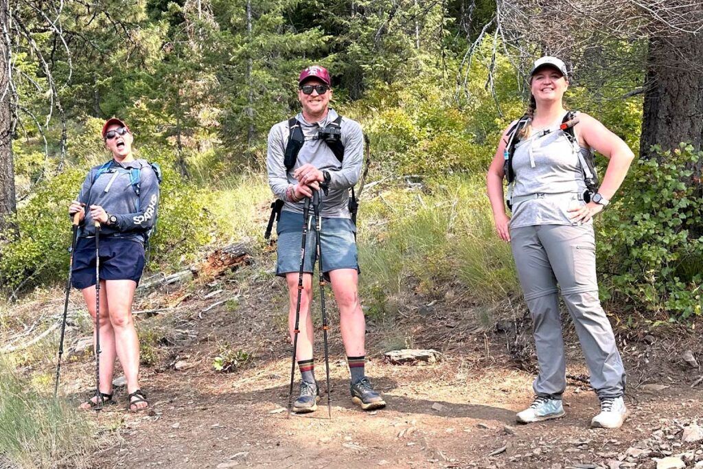
    About 16 months later and here I am leaving the Climber’s Bivuoac trailhead with three partners, a ham radio license and a rough plan.

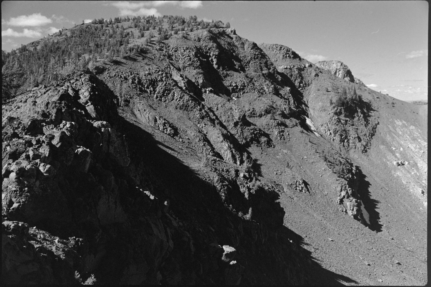
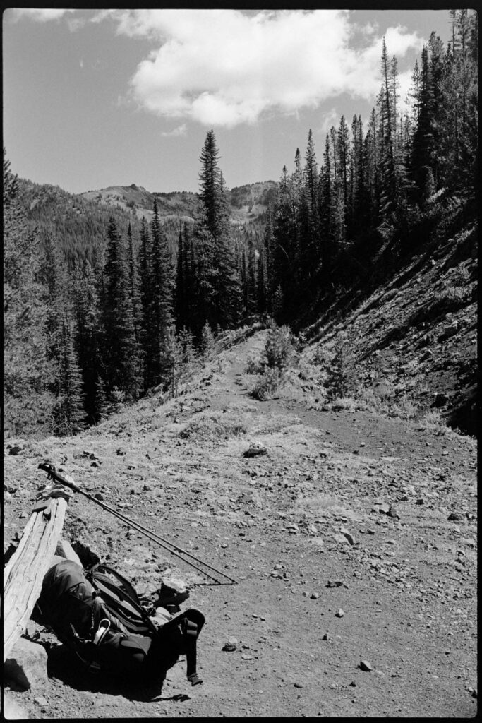
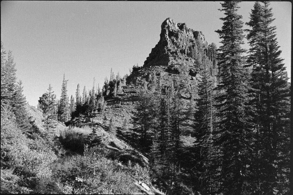
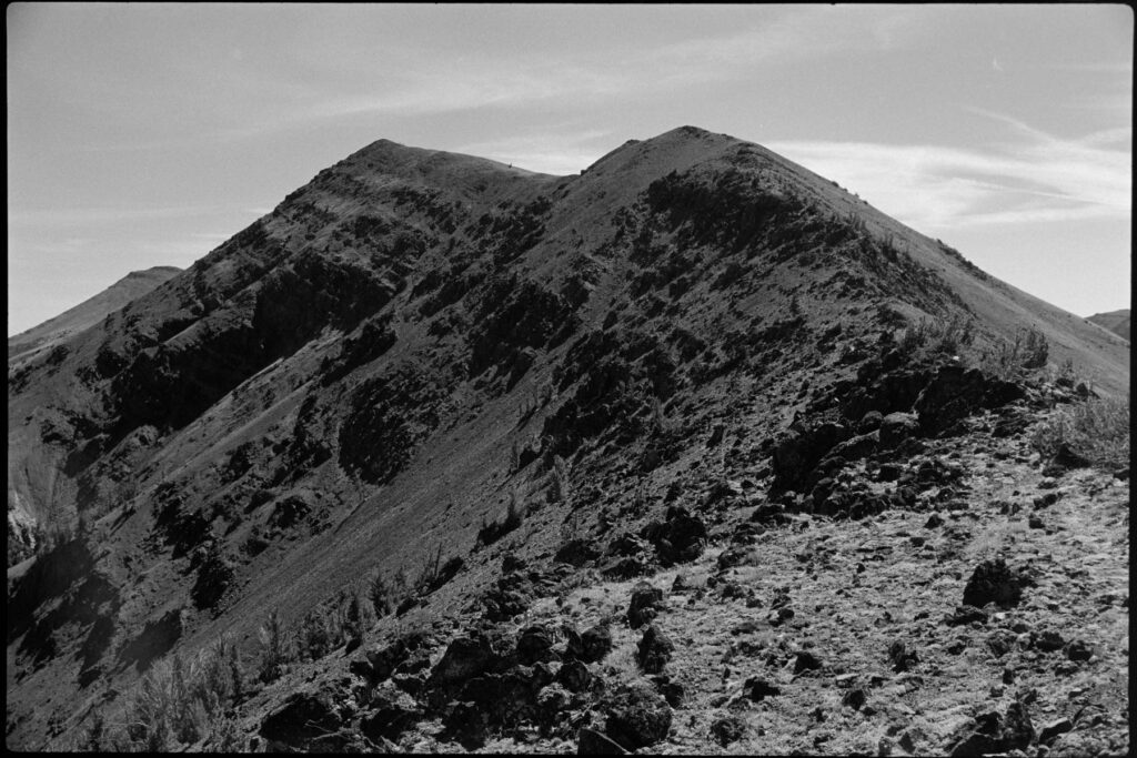
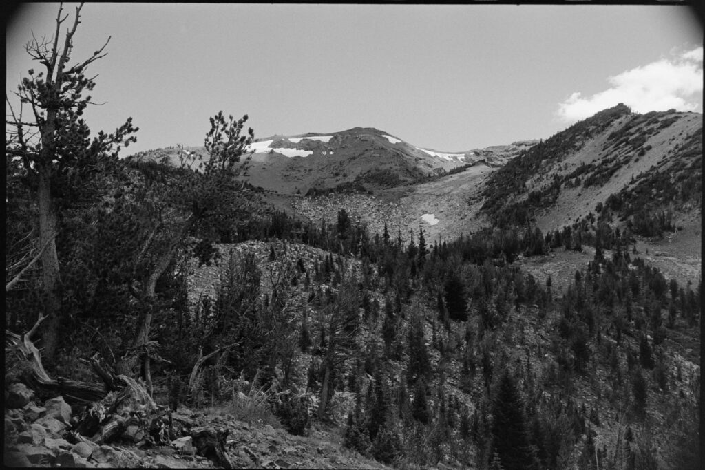
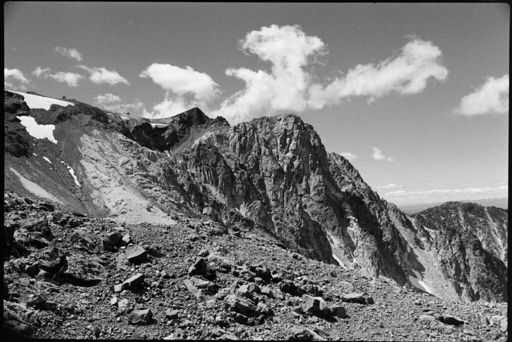
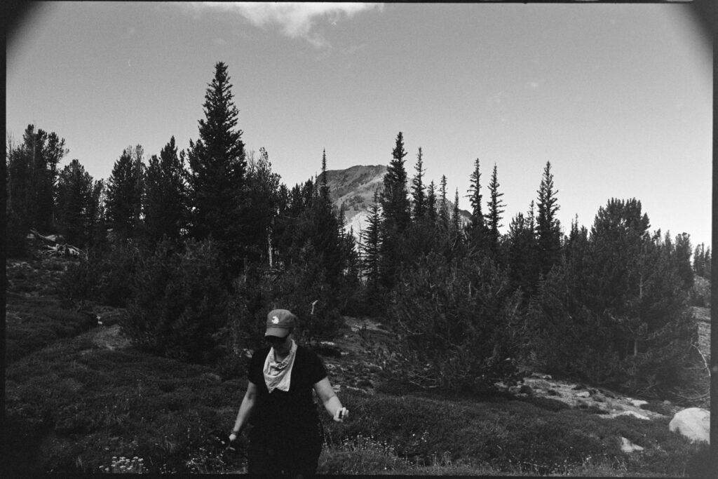
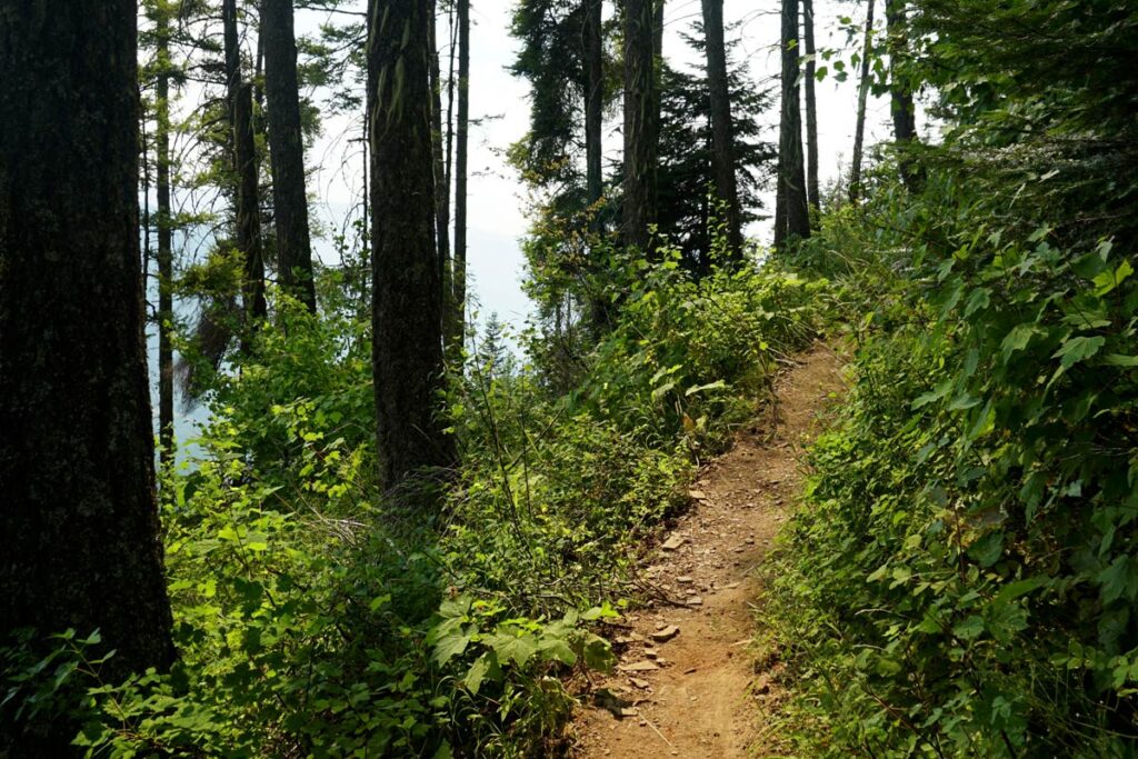
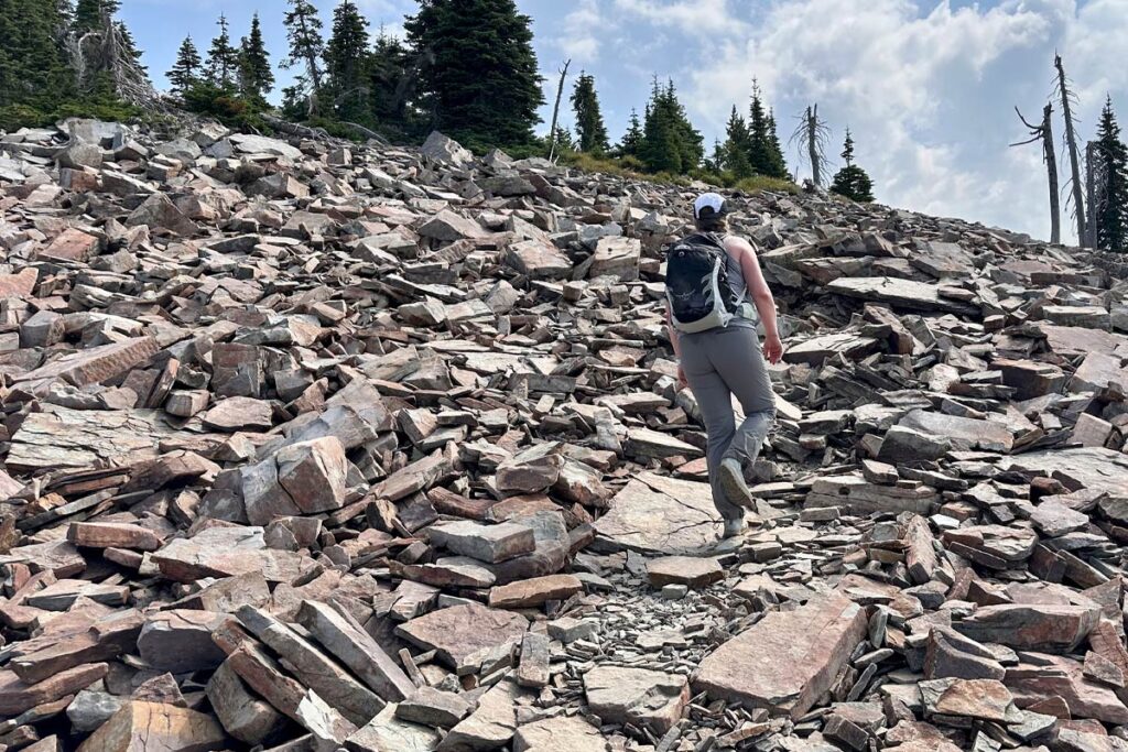
    The ascent up Saint Helens can be broken into 3 segments: the forested trail, the boulder field, and the sand/ash climb. With headlamps and snacks, we started right at 5:30AM hoping to reach the boulder field before sunrise.

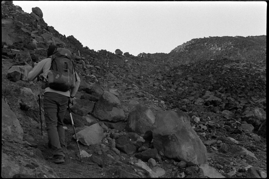
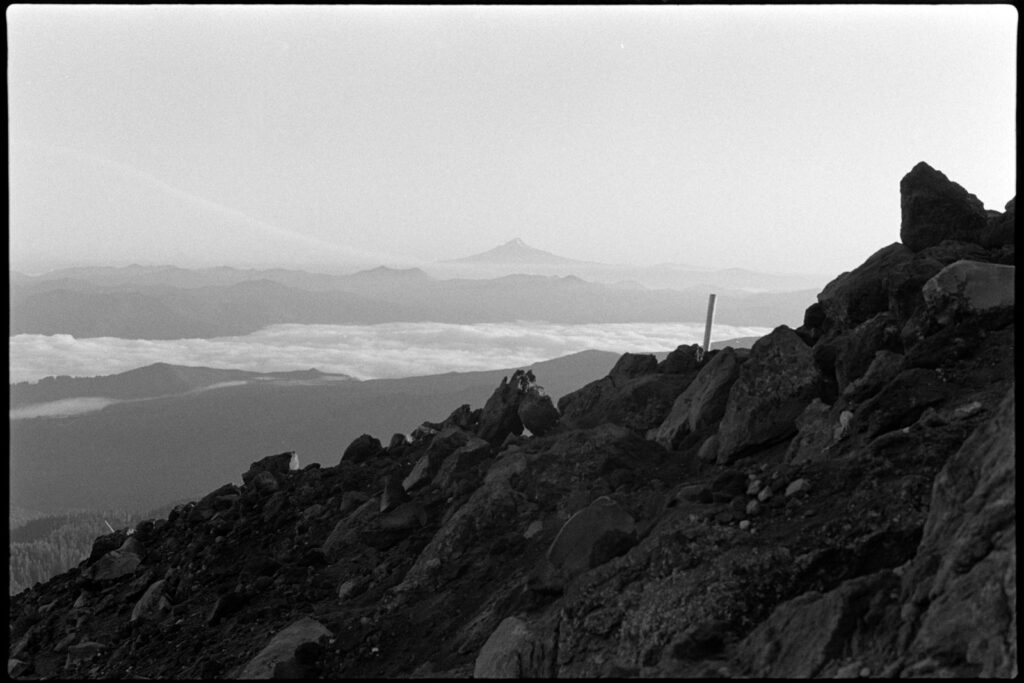
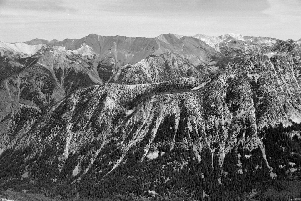
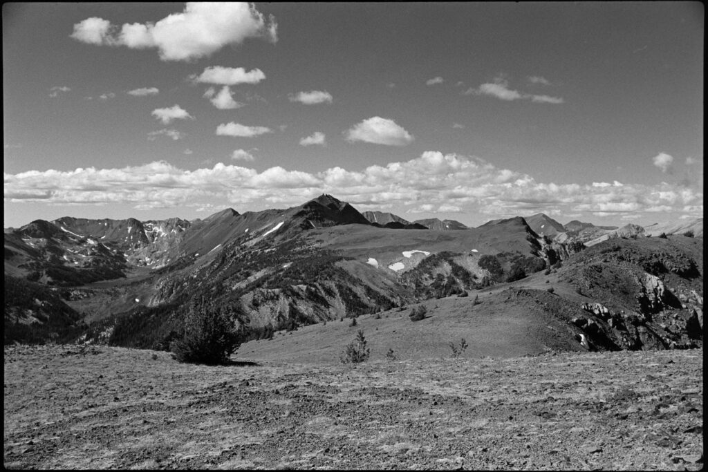
    Route-finding is not a problem, with tall wooden poles marking the way up. We kept a consistent pace up with only a couple of short breaks to occasionally take in the view and swap out clothing layers.

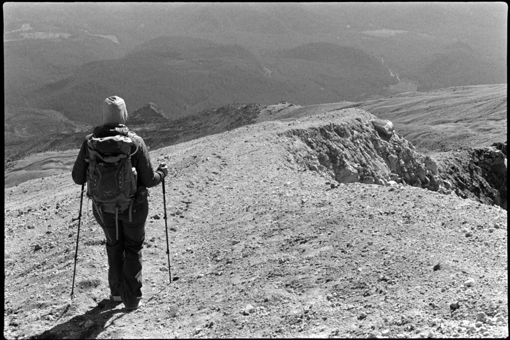
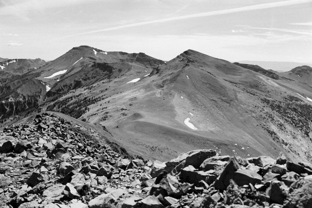
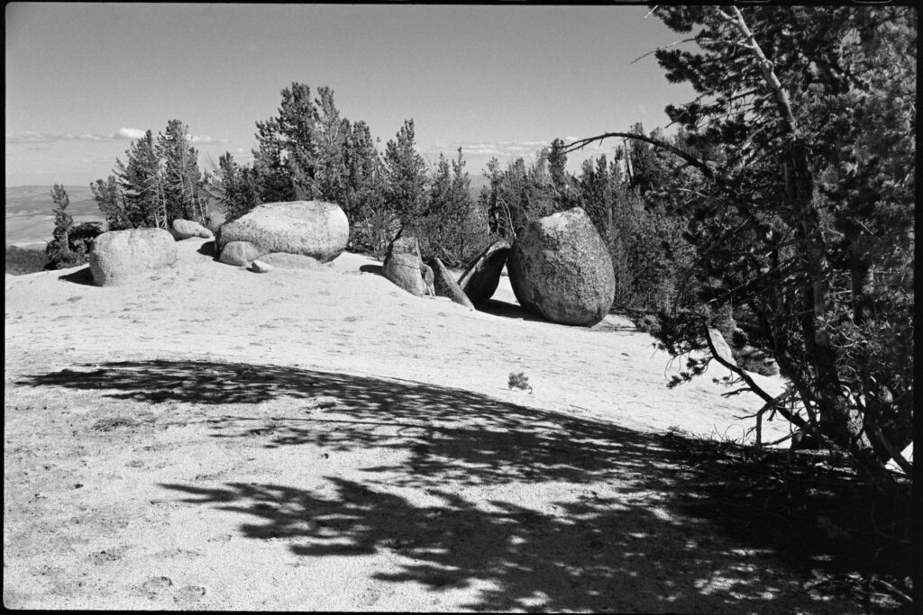
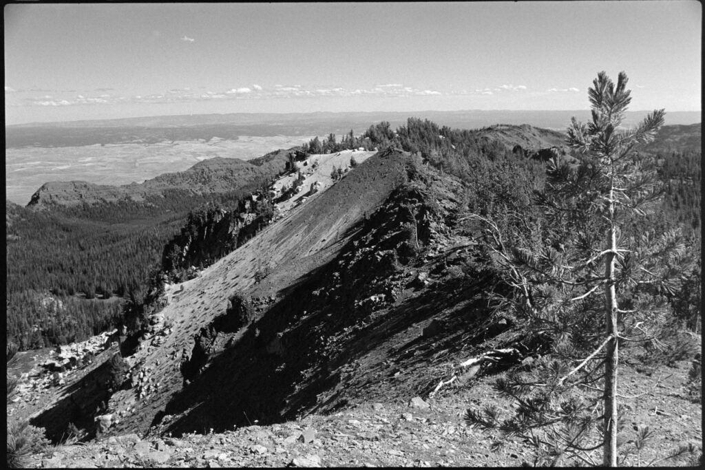
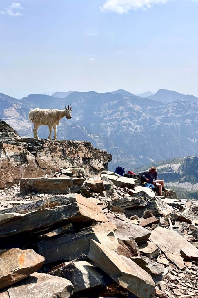
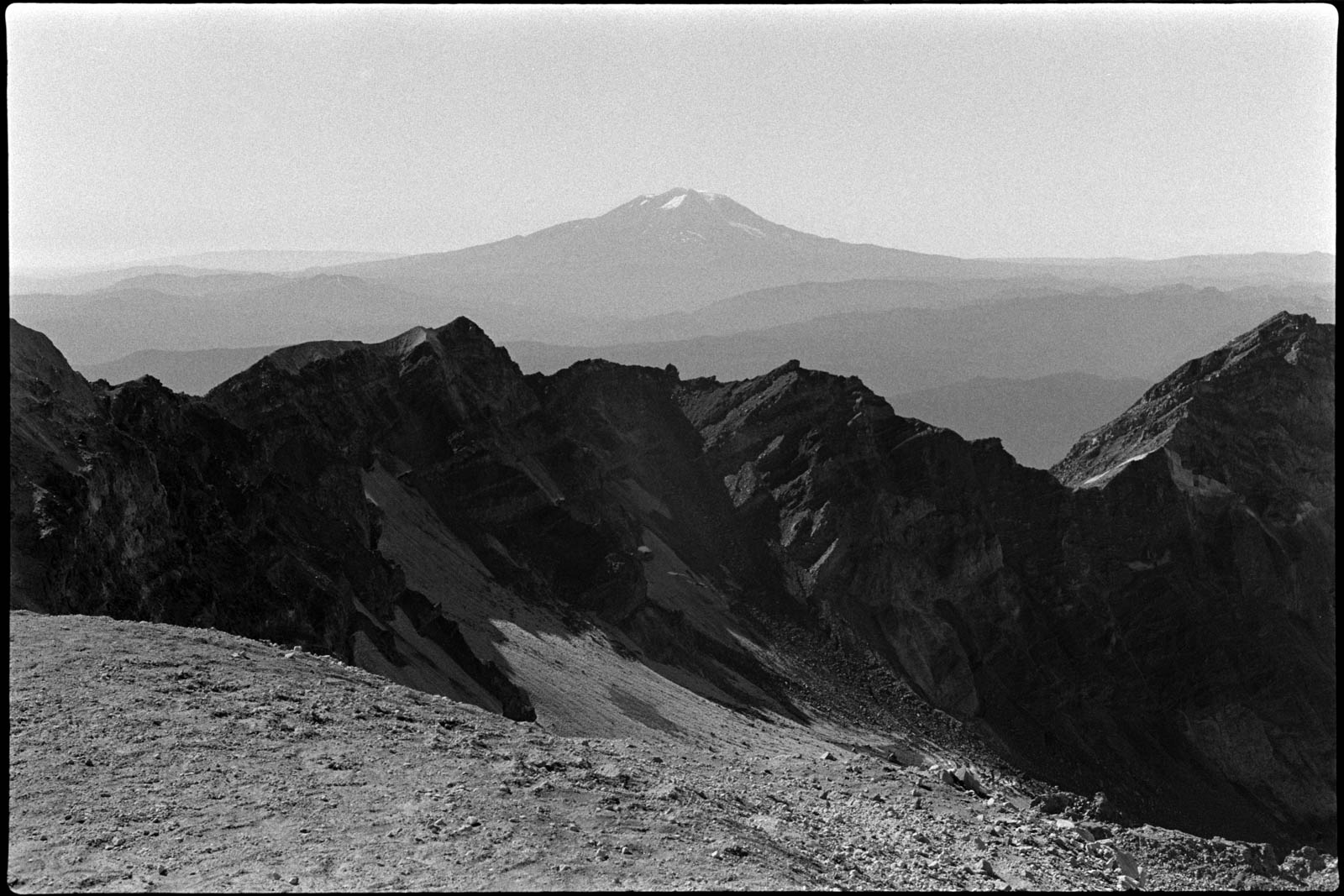
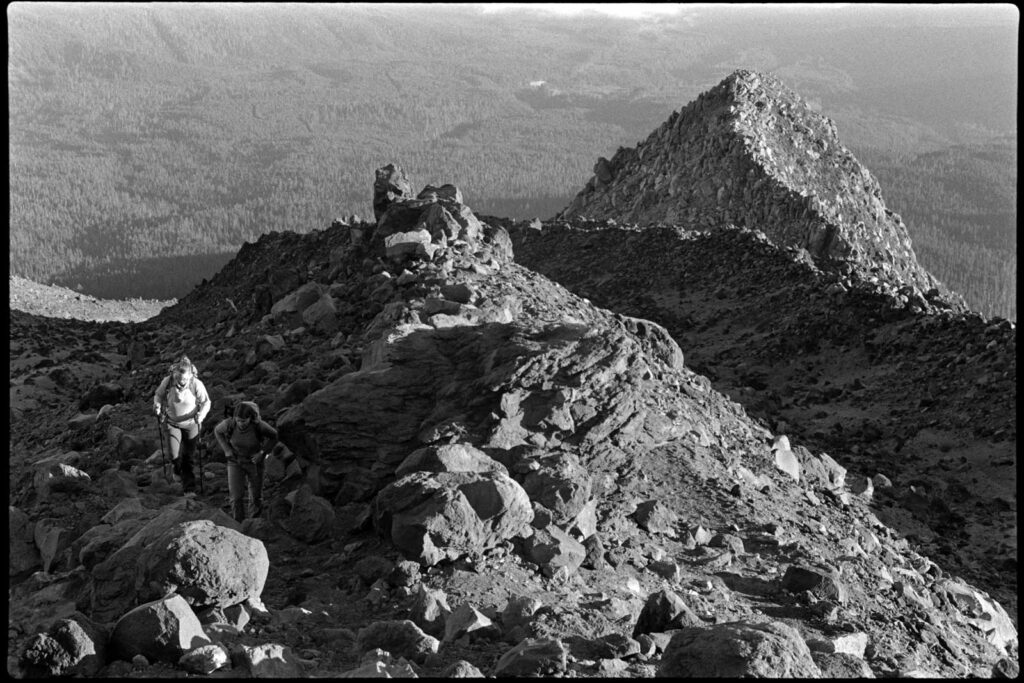
    It took us a bit under four hours to reach to the top where we had to then hike along the edge to get up to the true summit.

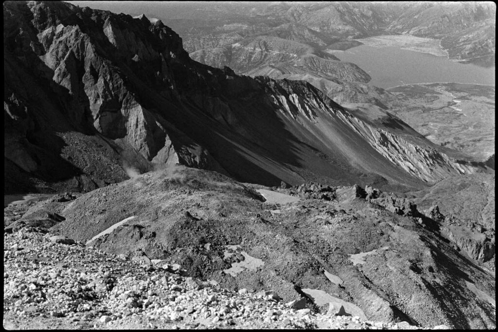
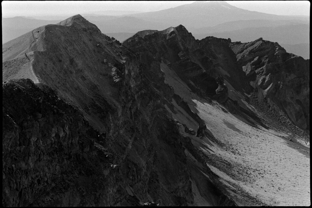
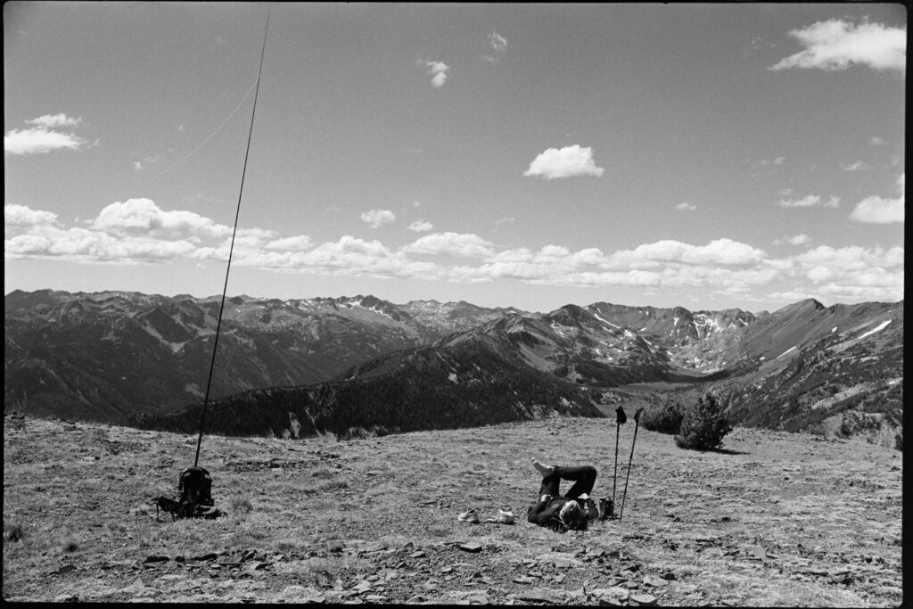
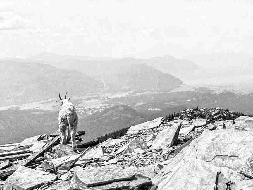
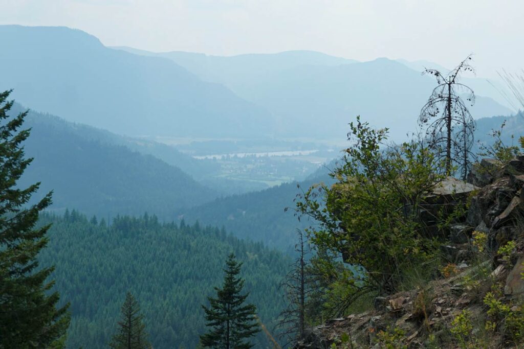
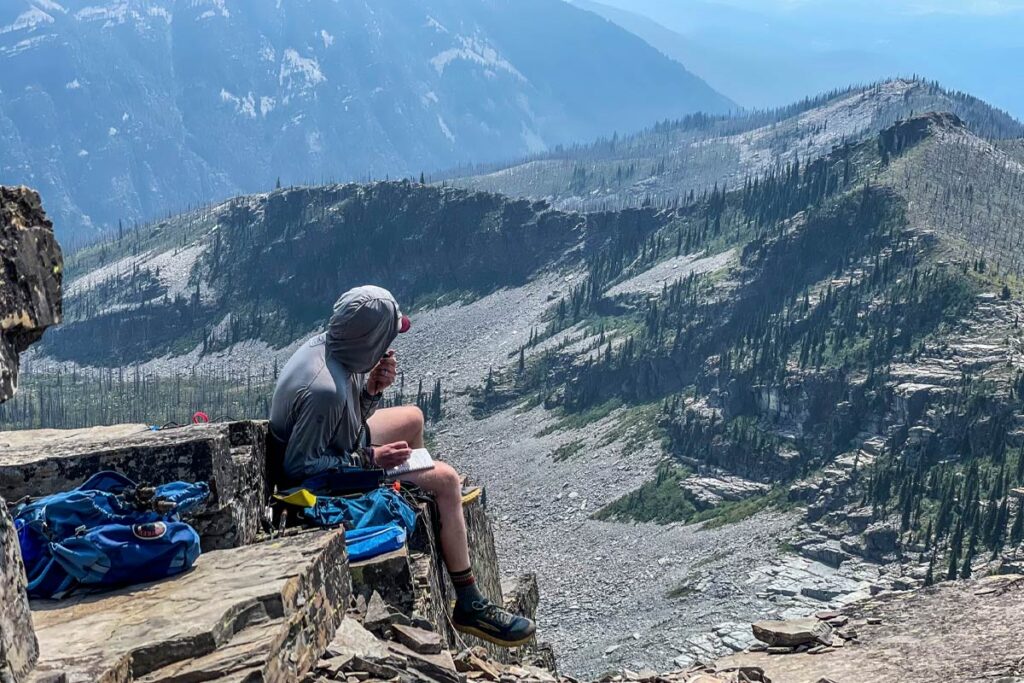
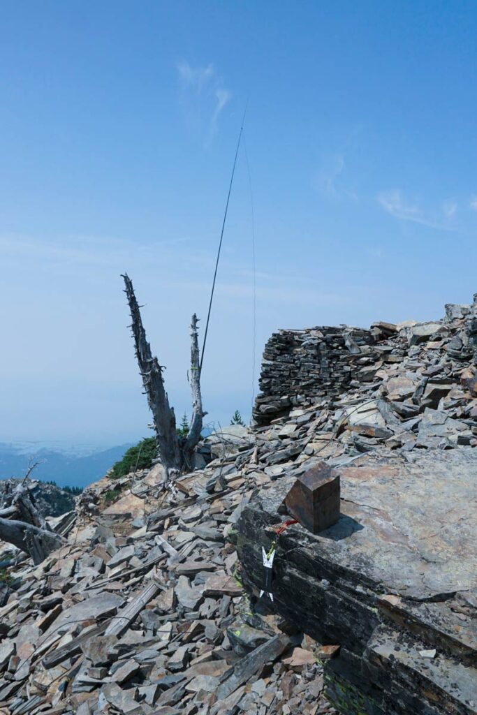
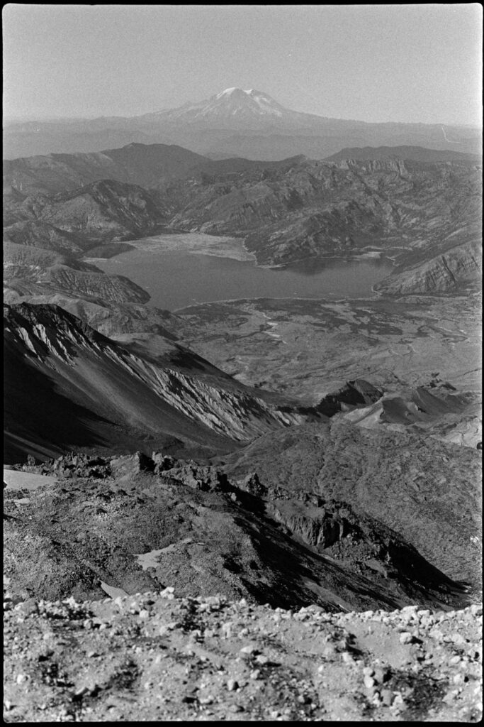
    Using my Anytone 878 and a Smiley 2M whip, I made 11 FM contacts and easily activated my first volcano. We sat down to eat our sandwiches and just look out at the other mountains, feeling lucky on this incredibly clear day.

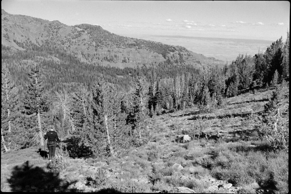
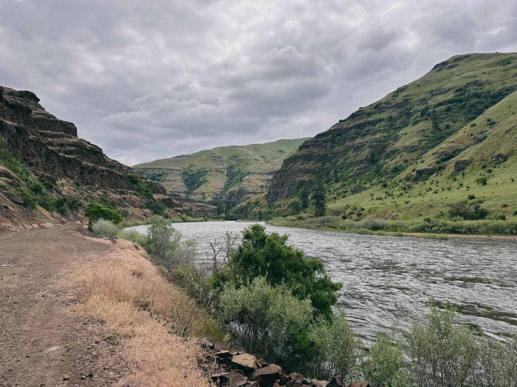
    Finally, it was time to head back down. We had a bit of a drive ahead to our hotel in Hood River… and the beers & burgers at Pfriem Brewing were already sounding pretty damn good.

  • Traverse Ridge W7O/NE-017

    Traverse Ridge W7O/NE-017

    A tough week resulted in the hasty decision to head into the Wallowas of Eastern Oregon. We arrived at the Hurricane Creek Campground just before sunset on a Thursday evening to set up camp and crawl into the tent.

    Up early Friday we made our way to the “trailhead” along Lime Quarry Rd 45.37808, -117.35148

    Immediately we were met with an hour or so of incredibly steep climbing until reaching the top with the most serene creek, a knobby spire to look at and a bench to have a snack on. From there it was the most enjoyable flat trail along a nice stream to the left with a drop off and views to the right. There was an opportunity to camp at one point along this path which I may utilize next time.

    Then the trail fizzled out and the bushwhack began. Not really knowing whether we wanted to tackel both Ruby Peak and Traverse Ridge or just one or the other, we loosely followed someone else’s GPX track up to a saddle between the two. That climb up sucked the spirit out of us, at least momentarily. Ruby Peak looked easily doable but the return would be back down the way we came–and that wasn’t a fun prospect.

    Traverse Ridge was a bit more daunting from our approach but it was 10 points (as opposed to Ruby’s 8) and it seemed like we could take the ridgeline for the majority of the return back to where we originally left the trail. Daylight was about to become an issue so we opted for Traverse.

    Looking back towards Ruby Peak W7O/NE-024
    Our approach line was straight up the middle avoiding the snow.

    The scramble up wasn’t necessarily exposed, but it was crazy steep and a fall would’ve been really bad. We took our time and aimed our path up between two snow patches. Topping out was a great experience… the views were stellar and the summit itself was open and flat.

    Corrie gave her a feet a rest and kept an eye on the clouds.
    Looking south to Twin Peaks W7O/NE-004

    Many times, getting back can feel like the greater challenge. This was no truer today. The portion of our return along the ridgeline was incredible, full of impressive views and varied geography. But when it came time to leave the ridge and shwack our way back to the trail, this is when the fun stopped.

    Corrie is a true badass. A former D1 rowing athlete with a 2k ergo best that stood at WSU for over a decade–she’s no stranger to the suffering. This hike had some endurance requirements, but it also had a fair amount of scrambly as well as a lot of swhack; and she’s not a fan of either those. But she powered through all of it and we ended with a real solid day behind us that we’ll remember for quite some time.

    I had two different GPX routes to reference for our return and I don’t think there’s necessarily a good way to get off this ridge without a decent amount of suck. You just gotta pick a line, move, pick a new line, and repeat.

    Note: I dropped a pin on the map labeled as “up ridge” which is essentially at the top of the first climb where we stopped to snack. Would going up that ridgeline and following it to Ruby, then crossing over to Traverse be a better option? A few weeks after the fact as I write this, I seem to think the initial climb up to that ridge might be a bit sketch… but I’d be willing to consider it the next time I go out.

  • Scotchman Peak: An Ungulate Activation

    Scotchman Peak: An Ungulate Activation

    Some friends invited us along for a Northern Idaho weekend to hike the famed Scotchman Peak, just outside of Sandpoint. It didn’t take much convincing, that with the challenge of the hike, mountain goats at the top, the promise of beers with friends afterwards… oh and it’s SOTA summit. Go figure.

    The trek to the top was steep but uneventful, at least until you break through the treeline, then the views start to hit. It was right about that point when our group paused when I took off ahead knowing I had some setting up to do. At the summit there was plenty of space to hang out so I found a little rock perch to operate from, strapped my mast to a snag, and got to work.

    This was only my fourth SOTA activation; contacts seemed to be a little tricky that afternoon and I had friends waiting at the top, so I made QSOs and after no further chasers came forward I called it good. The mini bottle of Cabernet from the AirBNB tasted mighty fine at 7000ft, and the view wasn’t too shabby, either.

    Thanks to my chasers: WA6KHK, WA7G, W0MNA, WV0X, K3ENE

  • GC training (sorta)

    GC training (sorta)

    A friend group is doing a R2R (Rim-to-Rim Grand Canyon) hike in a couple of weeks and invited us out on one of their training hill climbs today. We punched out about 15 miles and 3000 ft elevation loss/gain. Beautiful day for it and a much needed break from the busy couple of weeks I’m in the middle of at work.


    [osm_map_v3 map_center="autolat,autolon" zoom="autozoom" width="100%" height="450" file_list="https://mackey.studio/wp-content/uploads/gpx/activity_15479895966.gpx" type="OpenTopoMap" file_color_list="red" control="scaleline" file_title="Anatone Hill Climb"]

  • Somewhere in Central Wash

    Somewhere in Central Wash

    Met April in the middle of the middle. It was her location and her plan, I was just along of the hike. The intention was to overnight at some designated campsite but we very quickly (not quickly enough) realized that we were completely off route. Decision-making wasn’t our best set of skills this trip and we ended up following active train rail back to the trailhead.