Category: backpack

  • Peakbagging the Kettle Falls Range

    Peakbagging the Kettle Falls Range

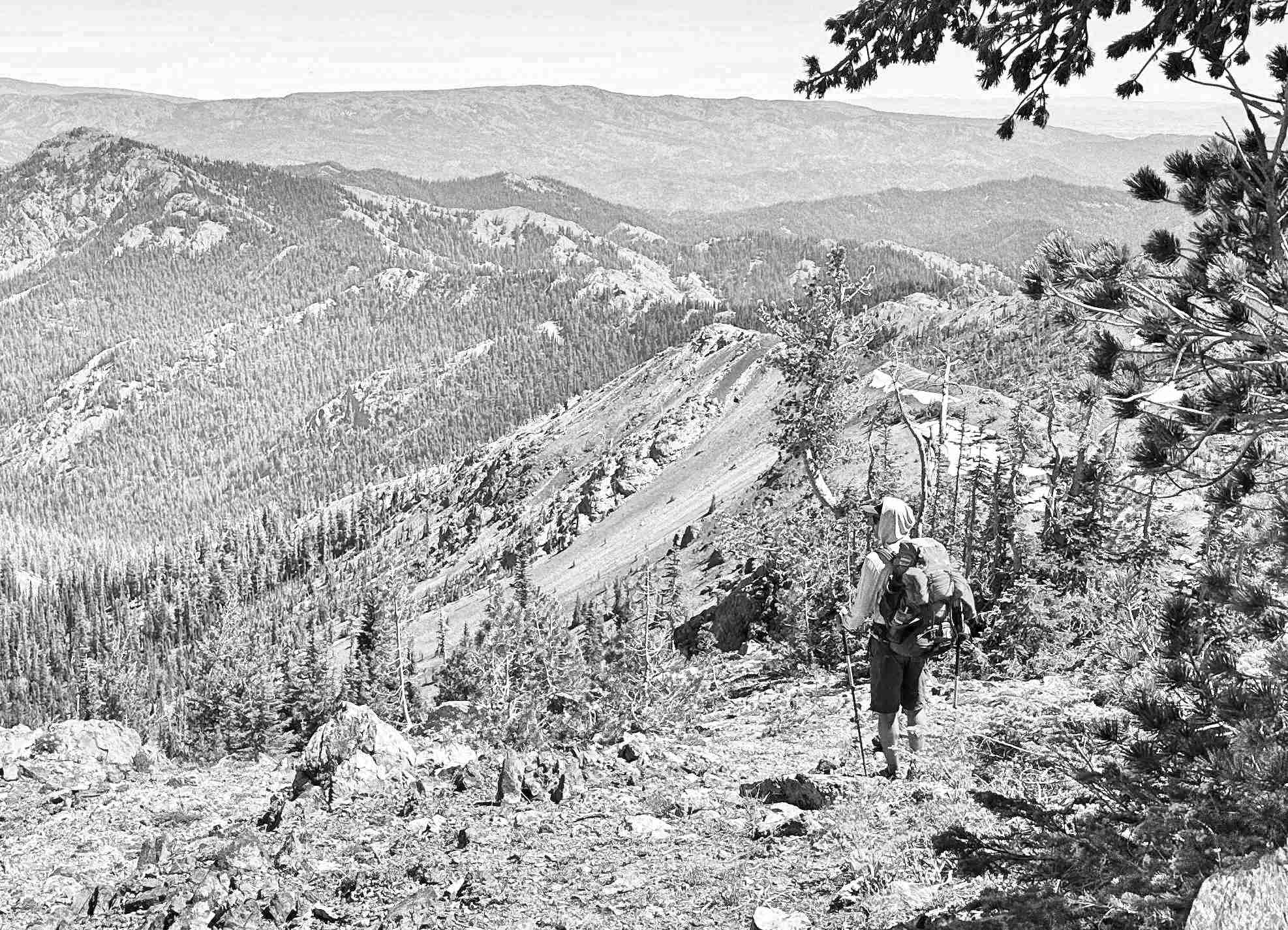
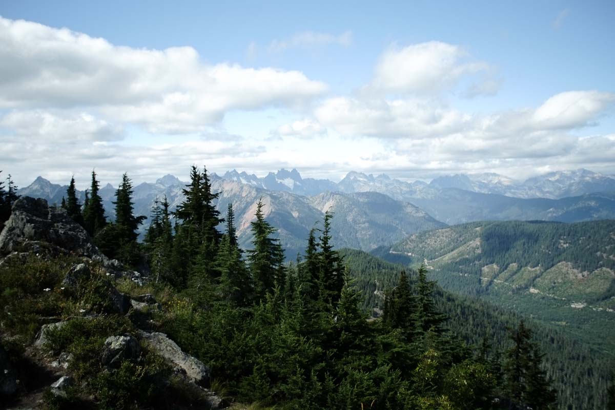
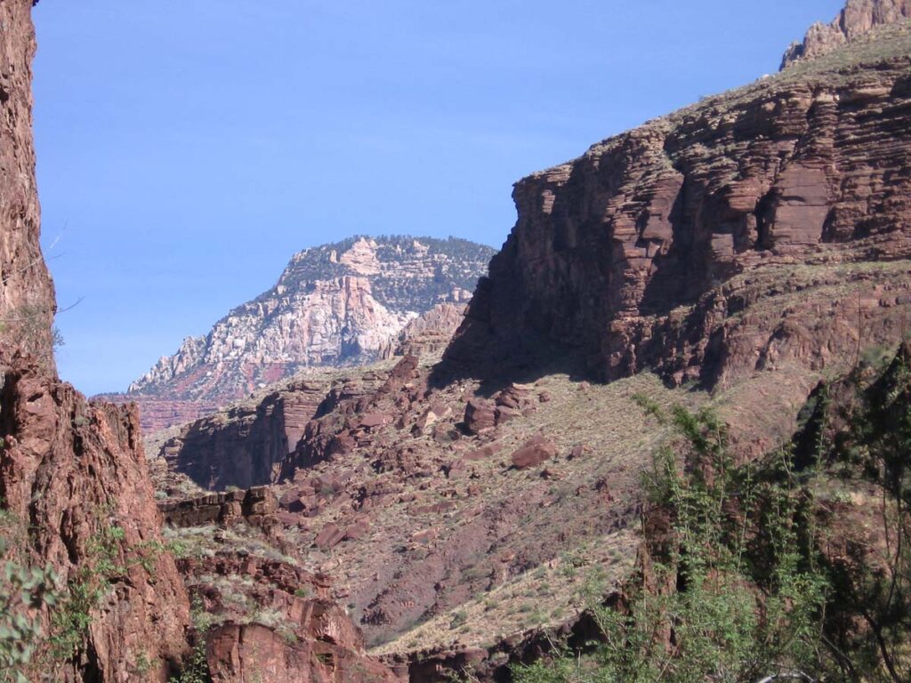
    Northwest of Spokane lies a pocket of summits I’ve been eyeballing for months—about a dozen SOTA-qualifying peaks in the 6000–7000 ft range. With some free time and an itch to chase points and elevation, I mapped out a three-day backpacking trip in early June aiming to activate at least four eight-pointers.

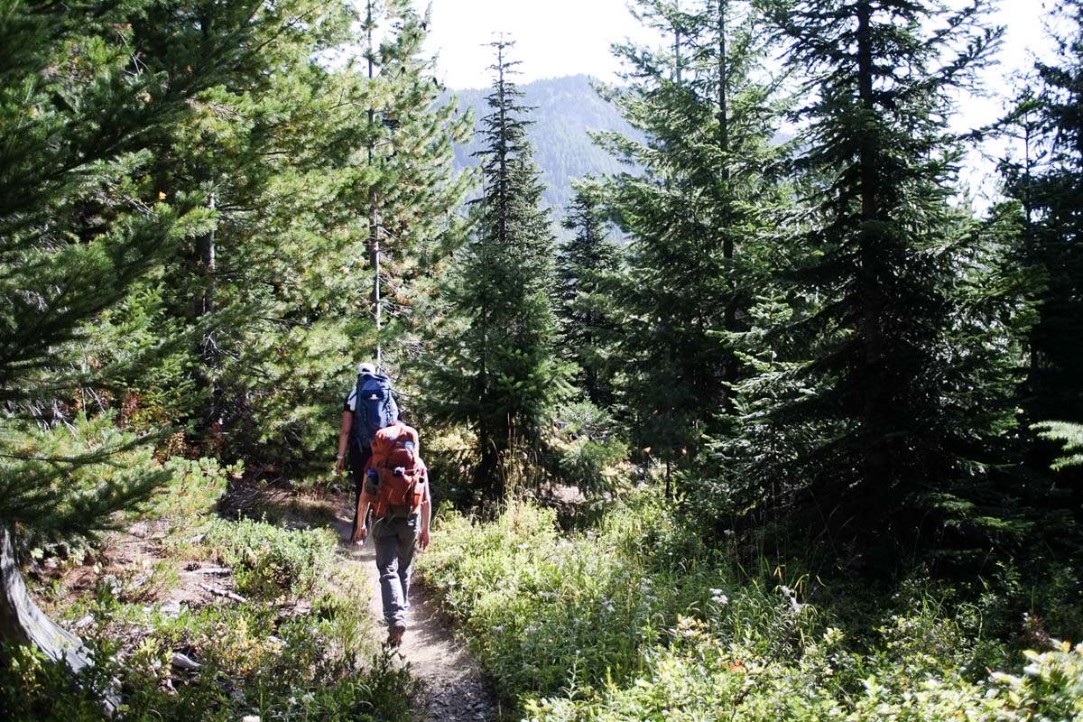
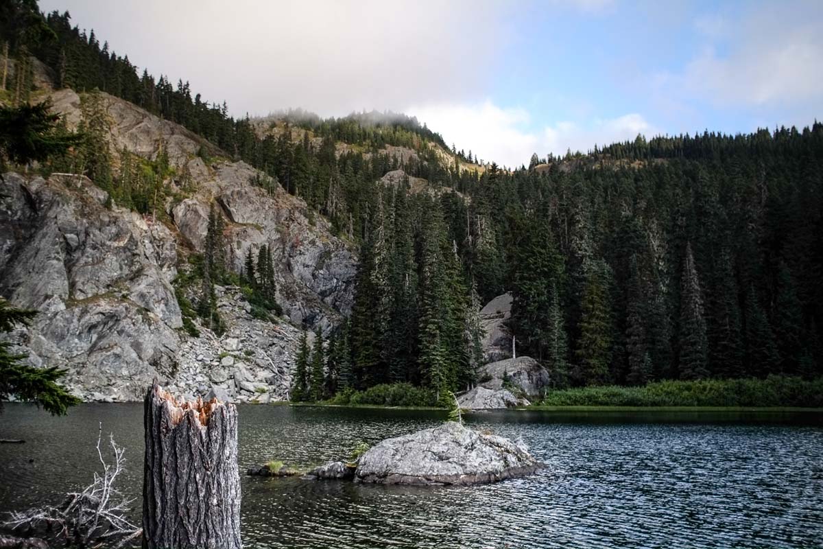
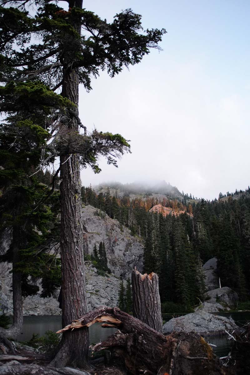
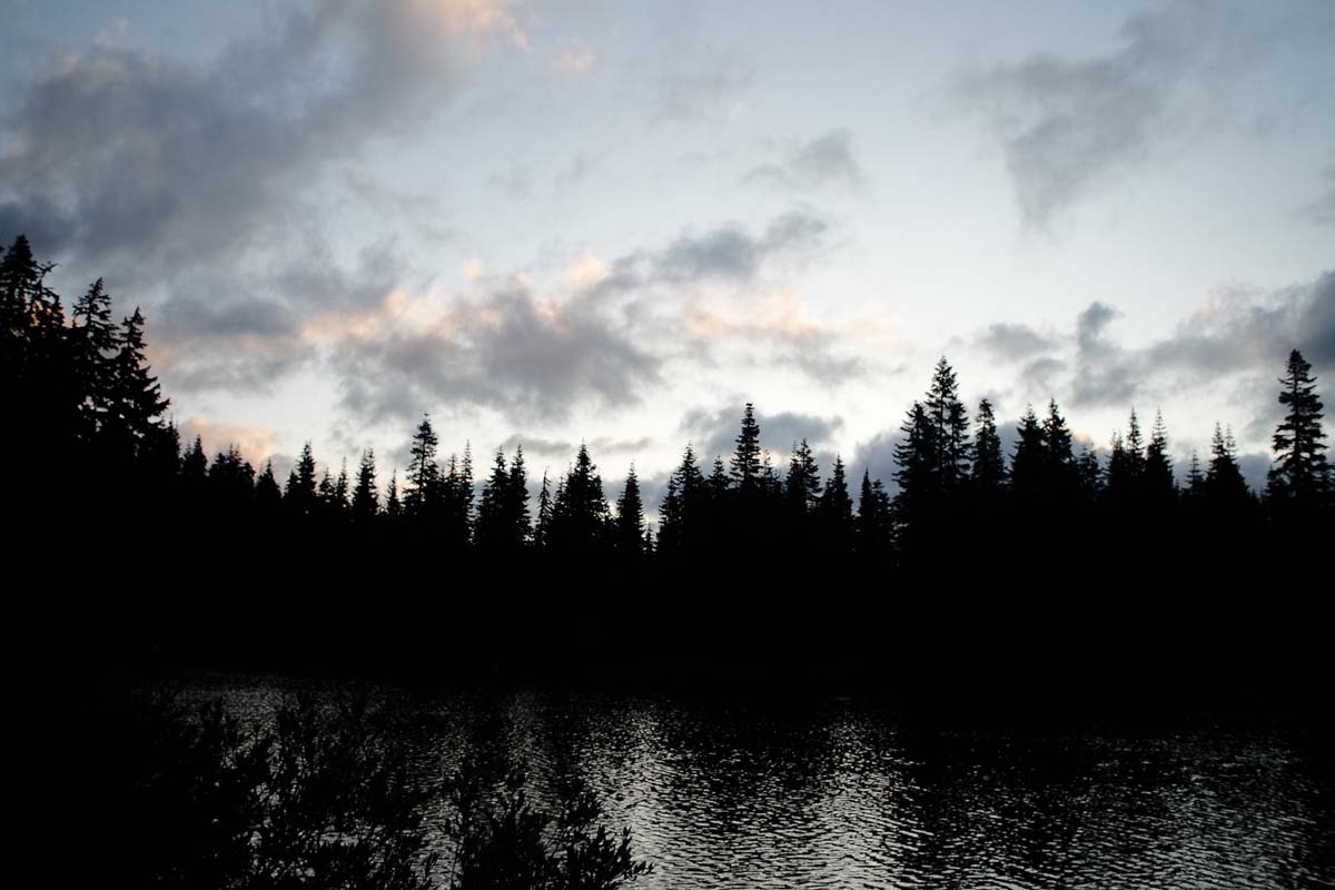
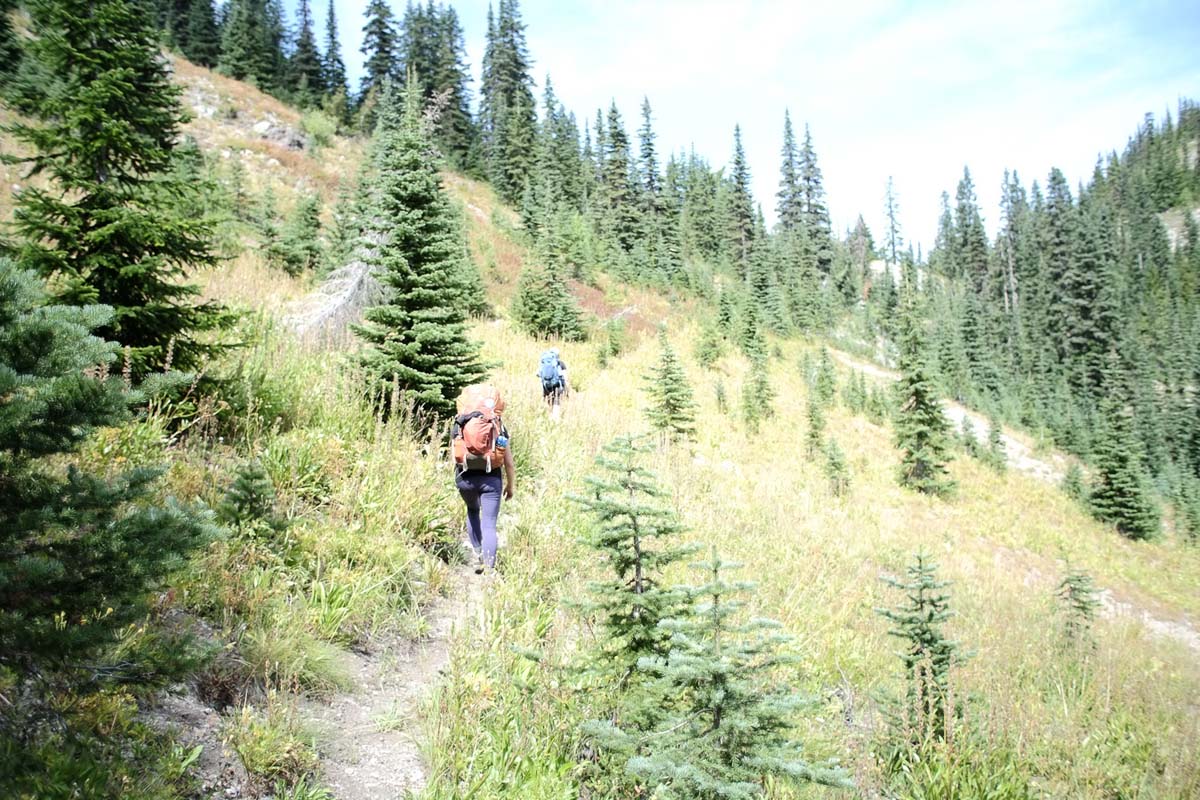
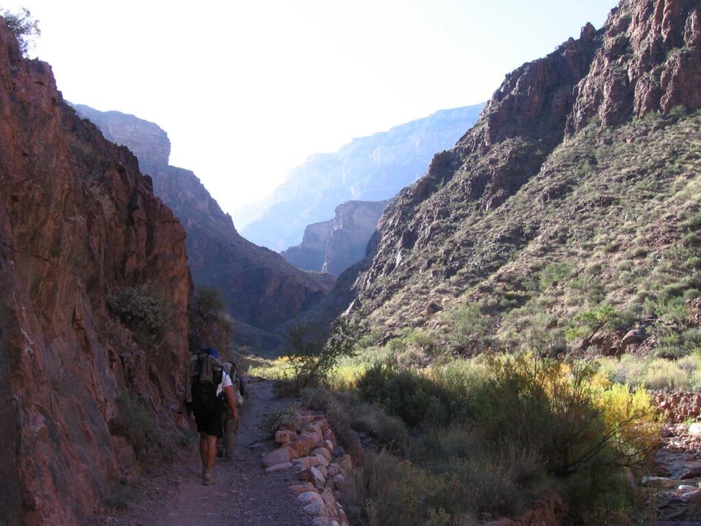
    With almost zero familiarity with the area (always a great start), I hit the trail Thursday afternoon. I started from Sherman Pass Trailhead, heading south along the Kettle Crest, skirting just west of Sherman and Snow Peaks. Somewhere in a saddle—conveniently next to a rentable Forest Service cabin—I found a near-perfect campsite and set up shop. It was only about 5 p.m., still bright out, but the bugs had unionized and were not accepting negotiations. I retreated to my tent early to snack on a cold burrito.

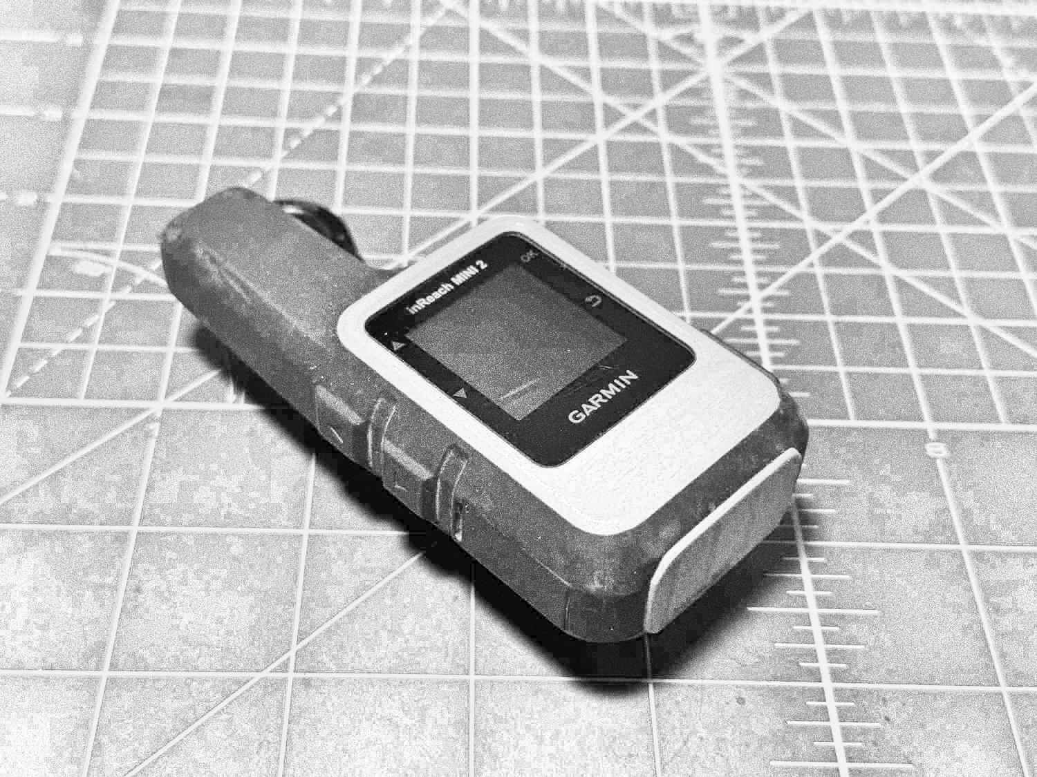
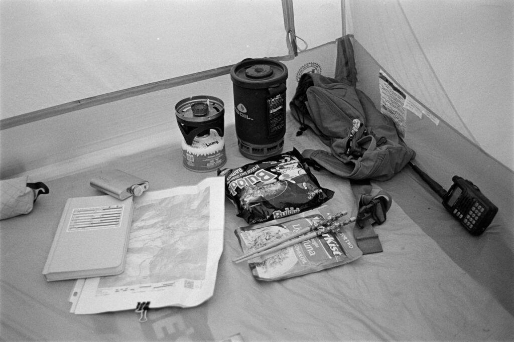
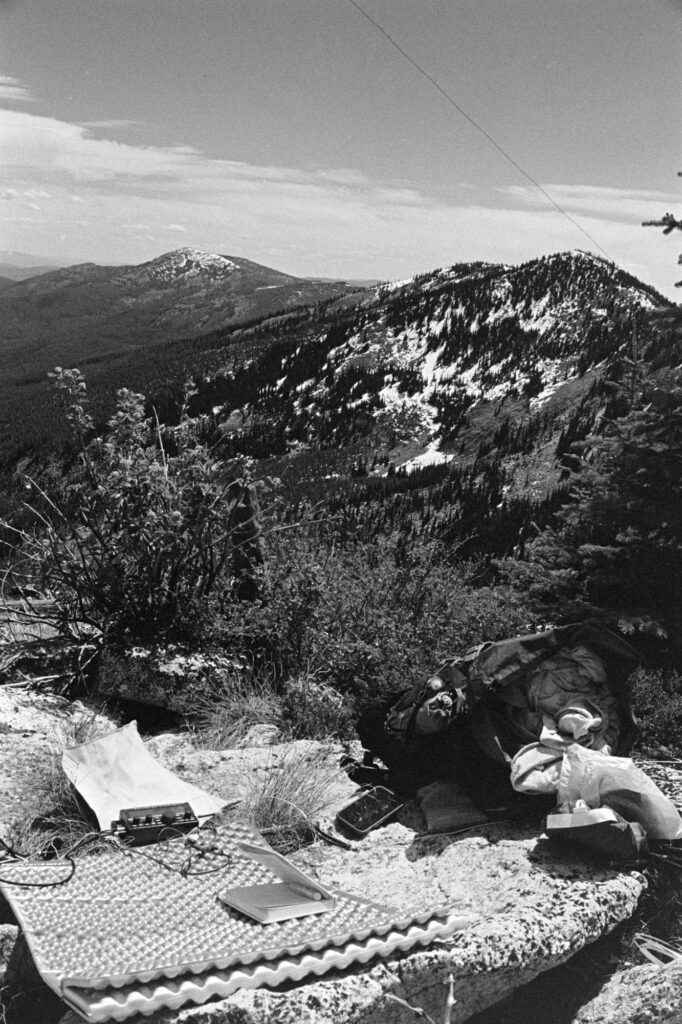
    Inside, I studied the Fred Cady Elecraft KX2 book on my Kindle. This was the radio’s first go—I’d had the KX2 for a grand total of two days, with only one QSO under my belt (to prove it wasn’t a brick). Would I manage a successful mountaintop activation with just 20 minutes of experience? Good question. I was wondering the same thing.

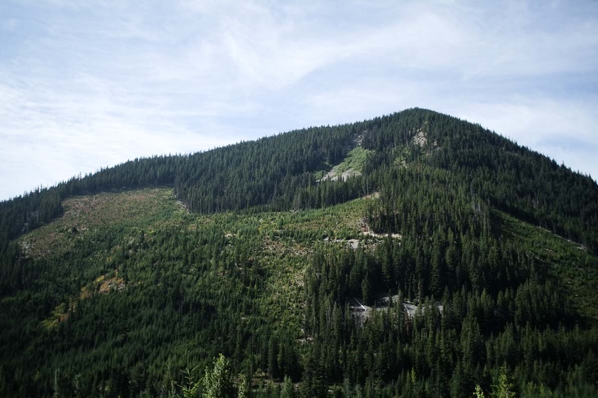
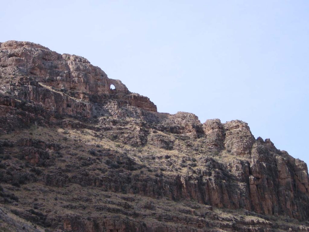
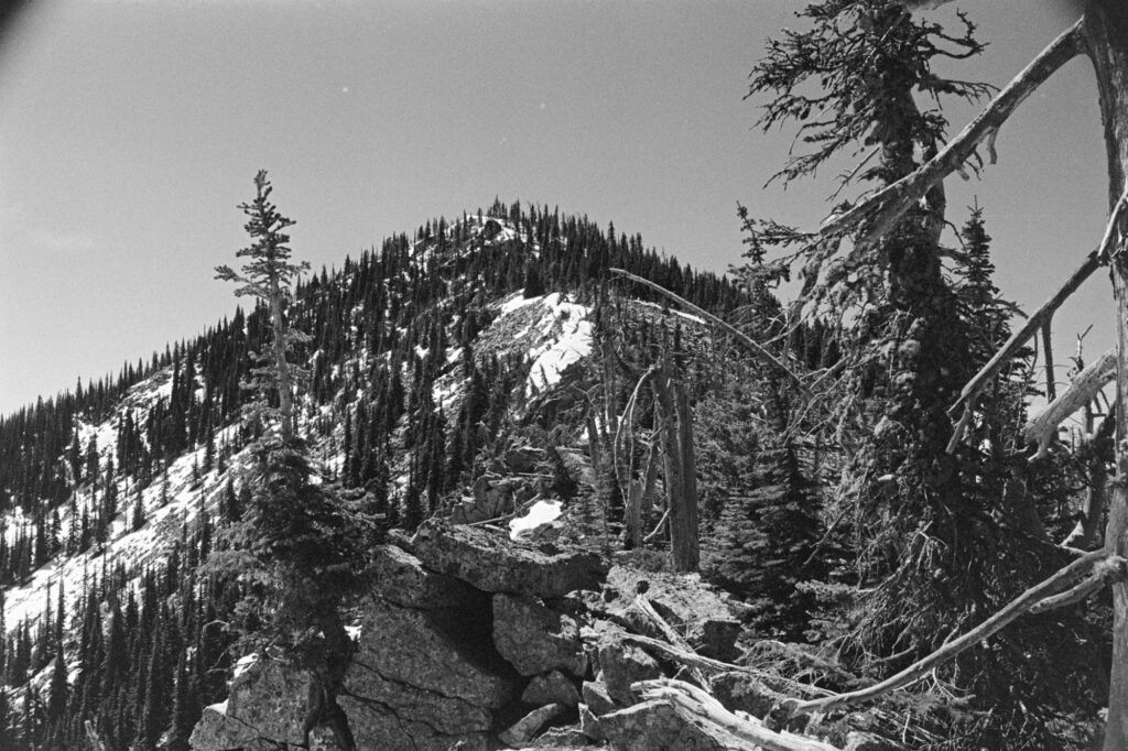
    Bald Mountain W7W/FR-003

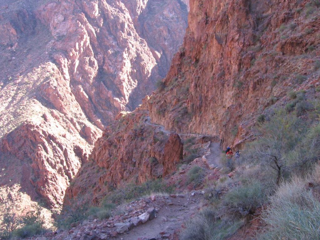
    The plan was to start from the southernmost peak—Edds—and work my way north, leaving Bald for latter in the day. But standing there sizing up the peaks, Bald looked like it meant business. I decided it was smarter to hit it first while I still had fresh legs and optimism.

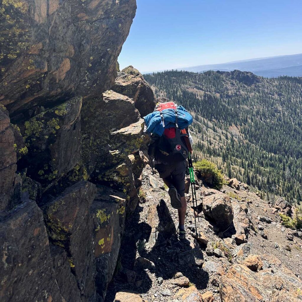
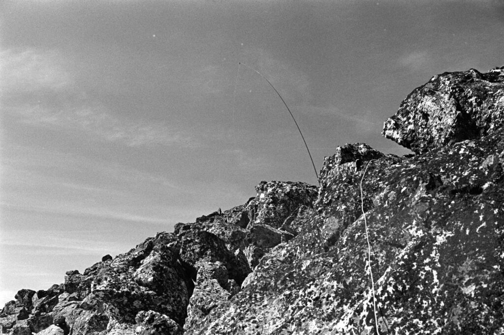
    I ignored existing online beta that suggested a south/southwest approach and instead eyed a doable-looking line from the north/northeast. My logic: less snow exposure on the north side. My reality: boulder fields of doom. Not a total disaster, but next time, I’ll take the advice left on Peakbagger and come in from the southwest.

    Bald Mountain (left) and Edds Mountain (right)
    Mast in the air with coax coming down off the near rock.
    Cairn at the very top of Bald Mountain.

    Edds Mountain W7W/FR-011

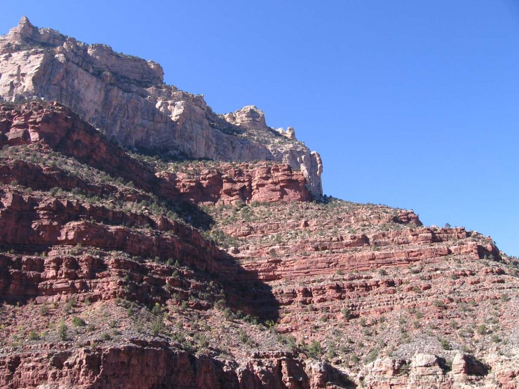
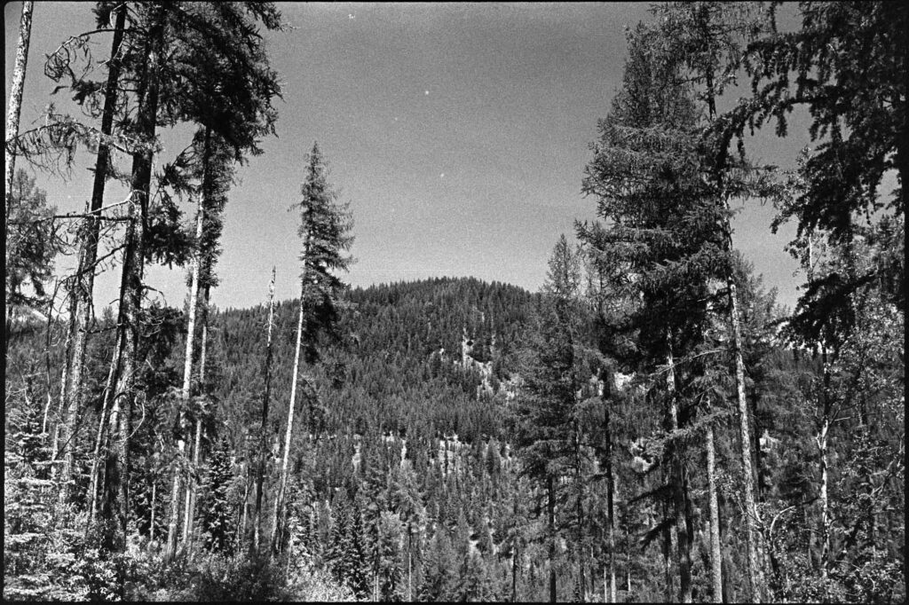
    After Bald, I hit Edds. It was heavily treed, buzzing with biting insects, and honestly, kind of a slog. A summit, sure, but not one I’d be super eager to do again (but points are points, right?).

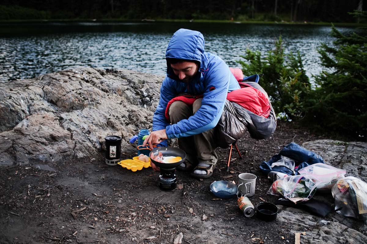
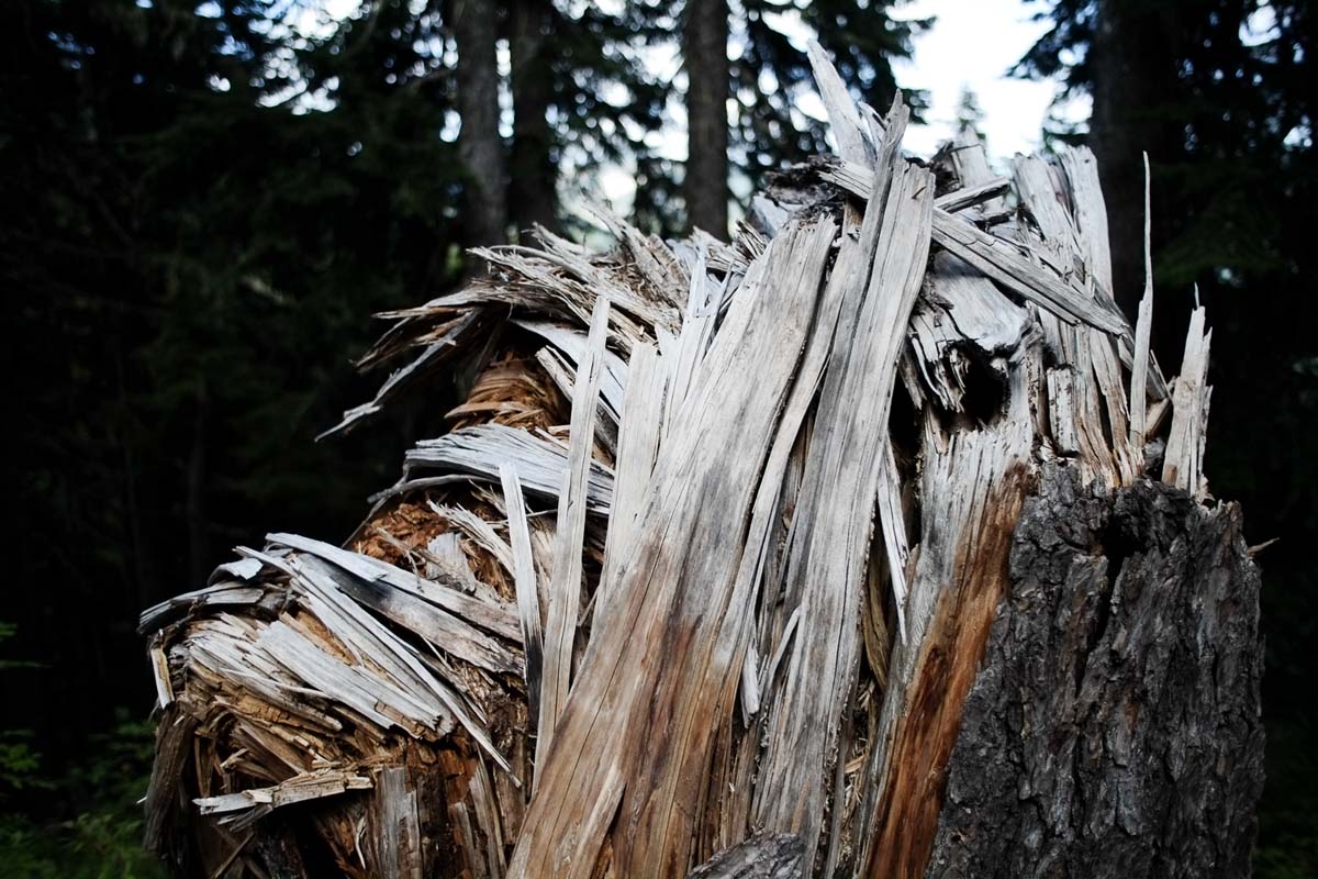
    The hike back to camp via Bald was full of blowdowns—not the fun “challenge your agility” kind, but the soul-sapping “why do I hike again?” kind. I got back to camp, fired up some spicy Jetboil ramen, and collapsed. Big day. Bigger sleep.

    Looking at Edds from Bald Mountain summit.
    Dinner and reflection on the day.

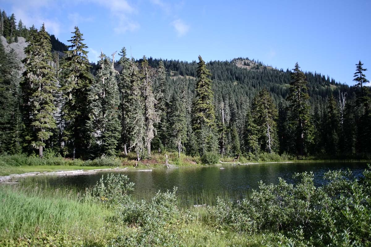
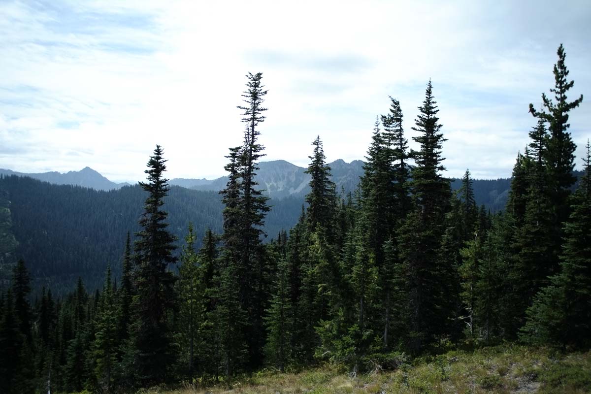
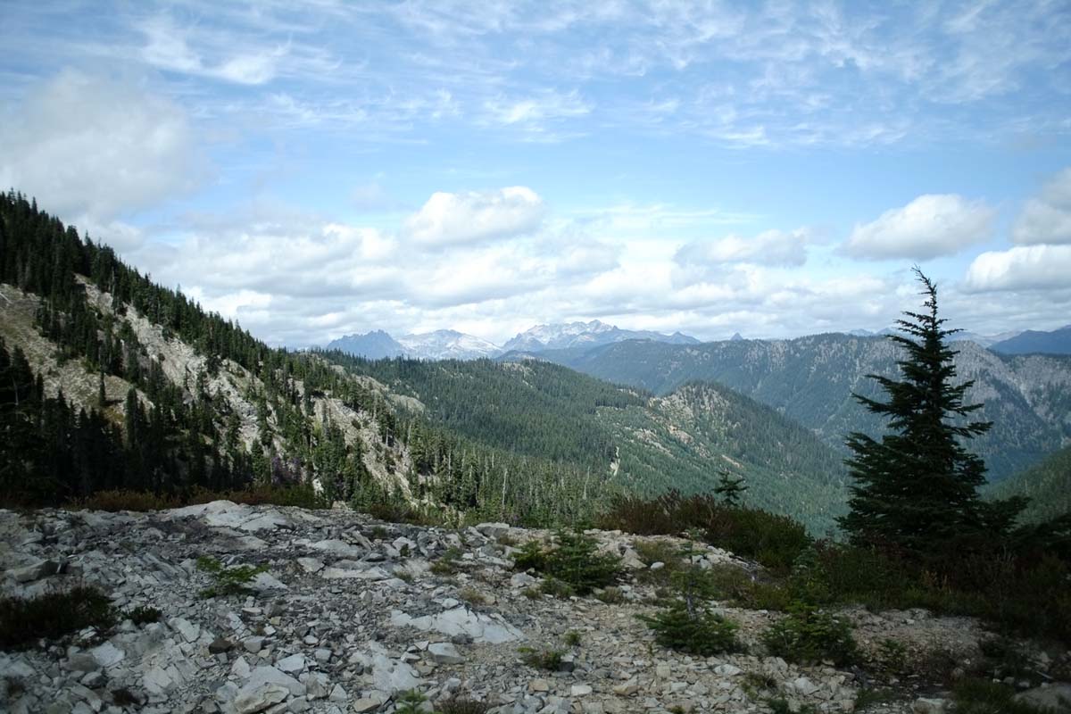
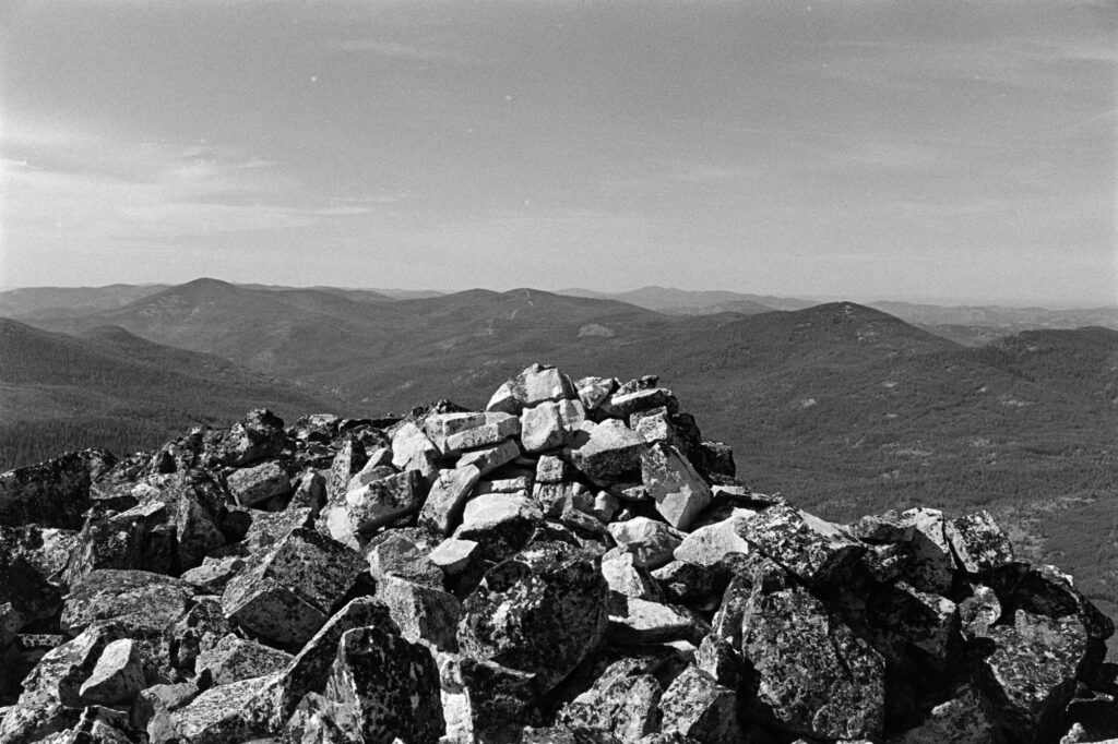
    Snow Peak W7W/FR-002

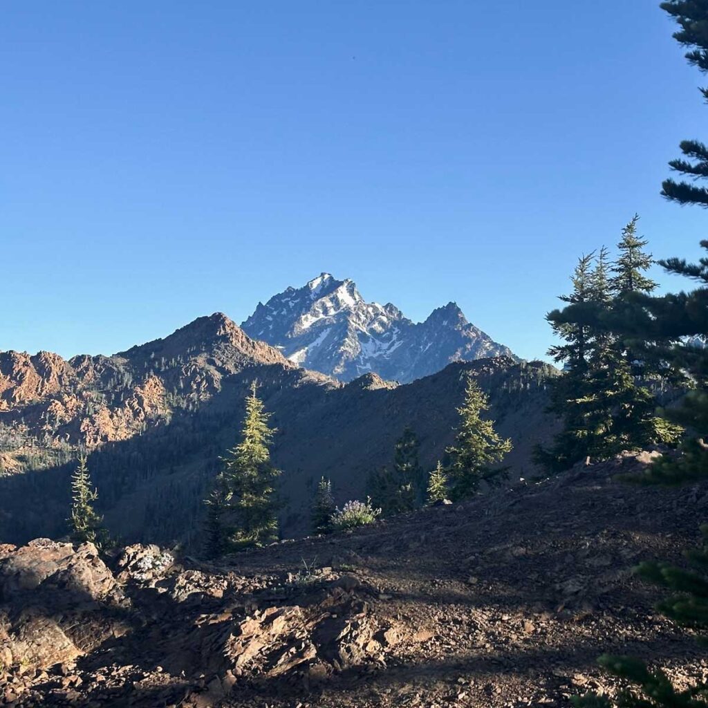
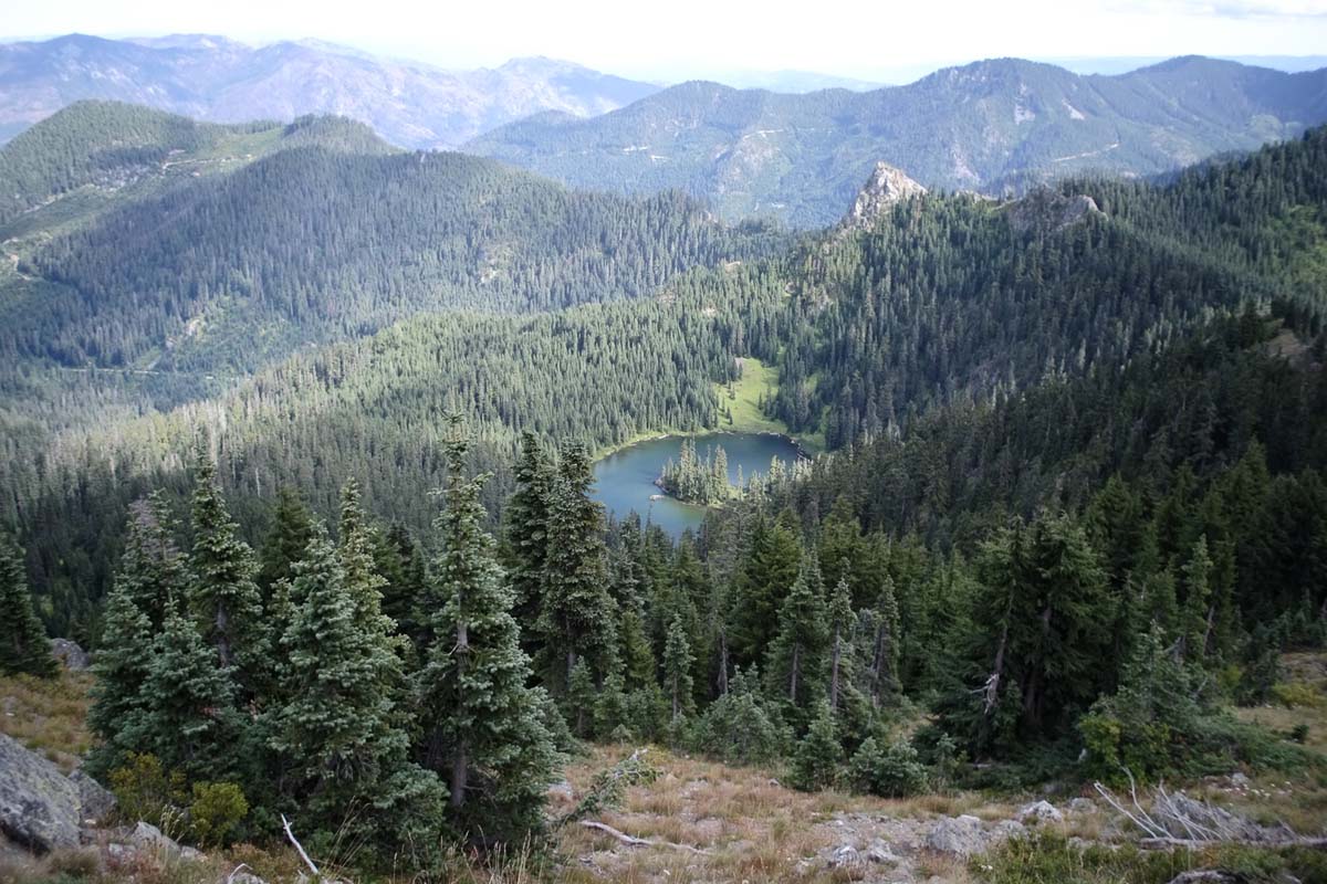
    I rolled out of the tent early the next morning, fueled by two Pop-Tarts and some instant coffee that was probably more morale than caffeine. Snow Peak was a short jam from camp and was my favorite of the trip. Incredibly steep but not technical, with a gorgeous and antenna-friendly summit with solid 360-degree views. 10/10, would scramble again.

    Snow Peak from the north ridge.

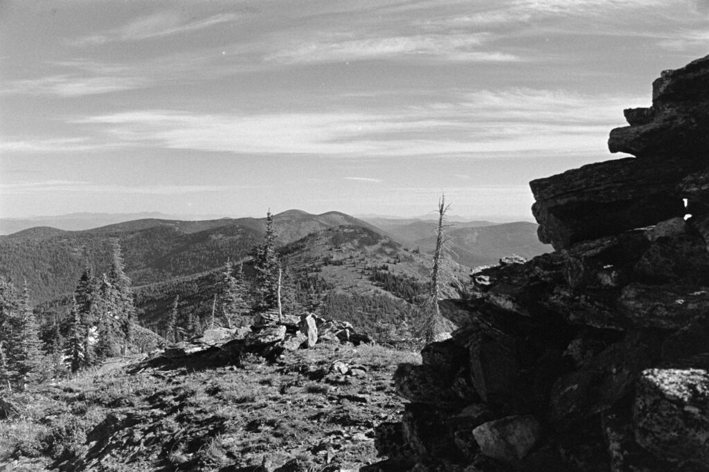
    Sherman Peak W7W/FR-005

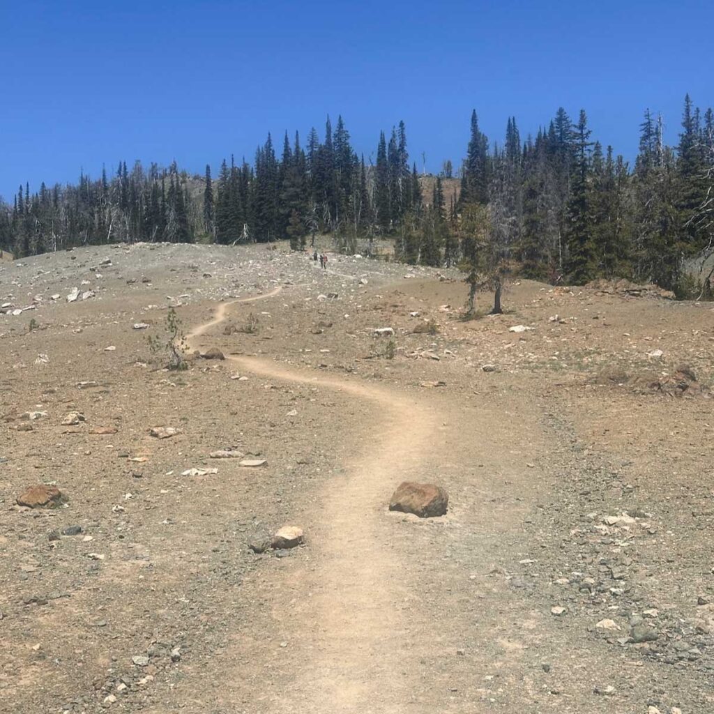
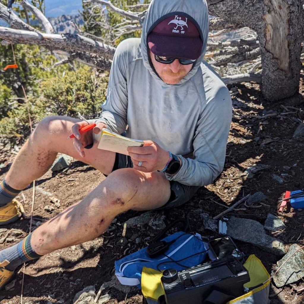
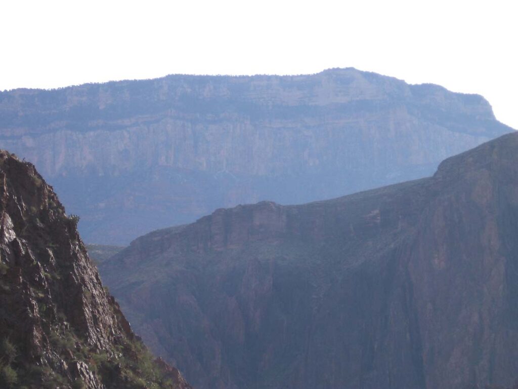
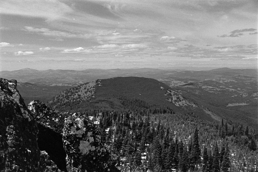
    In theory, you can traverse from Snow to Sherman along the ridge. In practice, I encountered enough ankle-breaking boulders and sketchy snow cornices to reconsider all my life choices. Eventually, I bailed east off the ridge and reconnected with the trail (emphasis on “eventually”).

    Sherman’s summit zone is rocky and sparse on shade—great for a view, not so great for loitering. I activated, grabbed a few photos, and made my way back to the trailhead. Visions of a burger and beer in Republic, WA fueled the final miles.

    Looking towards Sherman from Snow Peak summit.
    Activating Sherman looking back upon Snow Peak.

    Paradise Peak W7W/FR-023

    To put a bow on the weekend, I decided to squeeze in a first activation of Paradise Peak. This was both a success and a declaration: never again.

    The drive up was an long choose-your-own-adventure through logging roads. The hike was heinously steep and overgrown, with barely enough room to set up and operate. One of those summits where the only reward is points, and getting down safely. But hey, it’s in the logbook.

    Paradise Peak from the car. Doesn’t look that bad from here.

    Despite the mosquitoes, blowdowns, and the self-inflicted off-route scrambling, this trip was an absolute win. I’ll likely repeat a version of it next year, and if Future Me is reading this, here are a few things to consider:

    • Rent the damn cabin. Tent life is fine, but the cabin would naturally be better.
    • Bring bug spray and pants. Seriously.
    • Bald Mountain: SW approach only. Or bring a helmet because that northern approach was sketch.
    • Maybe try for a couple of those summits north of the highway. They’re eight-pointers as well.
  • Hiding Things from Oneself

    Hiding Things from Oneself

    One of my “ten essentials” when heading out into the backcountry is my Garmin inReach Mini 2. It’s been an incredibly useful tool for getting texts out to my partner (or whomever) when completely out of cell service, which tends to be quite frequent ’round these parts. Aside from the convenience of friendly texts, it provides a sense of security as an oh shit device incase things get real bad and self-rescuing is not an option.

    Downside: the little sucker tends to fly out of pockets as I’m biking down bumpy trails or ‘shwacking through thick vegetation. Using a biner to clip it onto a pack is 100% advisable and I follow that advice 90% of the time.

    Last month I got out for one last bikepacking overnighter before the cold season fully took grasp. My inReach was tucked into a little pocket on the side of one of my handlebar bags and lived there the entire trip–sans clip. The ride was a rough one, both in road surface and in general effort. We were pretty spent by the end of it.

    Following weekend as I prepped for a hike it occurred to me that the inReach wasn’t anywhere I expected it to be.

    Not in my usual drawer of outdoor electronics.
    Not connected to my SOTA backpack.
    Not in my bike bag pocket where I had the weekend before.
    Not floating around in the back of the Honda.
    And not in my buddy’s truck.

    Sure, when we were bombing down that one hill on Day 2 and hit some of the roughest washboard this side of the Cascades, the little guy musta jumped out my bag and bounced his way to freedom. I immediately began looking for a replacement, but it hurt to think about paying for a brand-new one… even though, it’s invaluable.

    I gave it a week. Then two. Occasionally looking through the local Craiglist for postings of a found, or even recognizable for sale, inReach. Nada.

    Well fuck me if just a few hours ago I didn’t go looking for a usb power brick when there it was. Sitting right in the drawer where it shouldn’t be, but I can see how it seemed logical at the time in my post-ride haze.

    All this is to say, I’m glad that I’ve found my inReach. And I swear that I’ll never travel with it unsecured again.

    Until I do.

  • Teanaway: July 4th Backpacking

    Teanaway: July 4th Backpacking

    This summer I really wanted to get out and do some multi-day backpacking and bag a few peaks. I have a few rough periods at work throughout the year, thankfully they only last a couple of weeks, but when they’re over I like to escape into the wilds for a day or three and try to undo all of the sitting and screen staring.

    This Fourth of July weekend, I had planned out a 3-day, 37-mile route through the Wenatchee National Forest. Skirting along the southern side of the Enchantments, the hope was to avoid the crowds yet get a glimpse some of the amazing views.

    Day One

    Getting our start at about 9am at the Beverly Creek Trailhead (elev 3823ft), the altitude gains started right off the bat. We veered east to follow the Bean Creek Trail and at about the 2 mile mark things opened up to where we could see our first target: Bean Peak. The next climb was spicy; gaining about 900ft in half a mile. Once getting up to the saddle and moving towards the peak, it was time for a break and a snack.

    While working on peanut butter tortilla wraps and pondering on Bean Peak, we decided that it looked a little too technical for what we were wanting to attempt that day. What we really want to hit was Earl Peak, just a ridgeline traverse over. That’s the SOTA summit and on the way to camp, so we began to make our way along the ridge. Rocky and riddled with footpaths leading every-which-way. Evidently we got a bit off-course putting us below the intended route, and top of the ridge, by about 30 feet and no good way to work back up to it without backtracking across the sketchy loose rocks we just navigated.

    Discussing our options, we decided our best bet at this point was get off the unstable slope we found overselves on and re-group. That was easier said than done, but with 900ft of scree surfing we eventually made it back down to the floor where we found some shade by the creek. Regaining some composure, resetting expectations for the day, and constructing a new route, we set forth upon one more climb up to the (much less rocky) saddle on the south end of Earl where camp was set for night one at 6166ft. Earl was going to be scratched from our agenda. We’ll be back for you, Earl.

    Day Two

    Getting an 8am start, we made our way around the SE of Earl moving through a couple of valleys for 4.8 miles before getting up to Navaho Saddle and meeting the County Line Trail at 6048ft. There we met a badass hiker from Roslyn (I don’t recall her name) who was out bagging peaks with a fast pace. Impressed, we continued on and up to summit of Navaho Peak W7W/CW-008–another steep job. At the top of Navaho, 7220ft, there were some snow spots and it was buggy, but the view was incredible.

    Working 20m SSB and 2m FM, the activation was relatively quick and I nabbed 3 summit-to-summits. Thank you to my contacts: N6LY, KK6OO, KB7JB, KB7LYD, KE7JWP, WX7EMT.

    The next section, which was not in the original plan but we had to opt for it in lieu of a 26 mile day two, was the Falls Creek Trail. A nice gent coming up the trail as we began to descend told us it was (English accent) “a bit tricky with quite a lot of blowdowns, but if you have GPS you’ll make do. cheers!” He was not bullshitting. This trail was mostly unused and navigation was, oh, tricky. Towards the end as we met up with the much more popular Ingalls Creek Trail, there were a couple of fun shoes-off river crossings.

    Night two’s dinner of smoked salmon, some spicy peanut butter ramen, and a shared Snickers bar was well-earned. Early to bed.

    Day Three

    Exit day, July 6. With some sadness, we broke camp and mentally prepared for returning to civilization. The hike out was amazing; Well-groomed, not terribly steep, lots of waterfalls and just a scenic treat. We stopped about a mile from the top to have lunch and refill water. I asked Tyler if he heard voices and he said my radio was talking—sure enough it was a CQ call from a SOTA activator. I reached out and connected with him, he was up on Red Top Mountain W7W/CW-061 and I was his fourth contact.

    The remainder of the hike consisted of a simple climb to the saddle and then a fast-paced descent back to the trailhead. We cleaned up in a nearby river, stopped at a brewery in Cle Elum for a pint and a bite, then headed home.

    The weekend was an overall success with some trials, course-corrections, incredible views and relationship-building hours on trail.

  • CdA Bikepack Fandangle

    CdA Bikepack Fandangle

    The area that Keith and I were setting out to ride was completely unfamiliar to us. I had mapped out a route that looked good on “paper” but with no real knowledge of what were getting into. The satellite imagery suggest there was a good parking area to leave the car, water along the way, and some potential camping spots. This was Keith’s first bikepacking trip, and being relatively new to riding in general, I kept the mileage to a conservative level.

    We set off at about 11am for a 12-13 mile easy start. After an initial 4 mile steady climb we began a long and relatively quick 7 mile ascent. As we were approaching mileage where I had mentally noted we should start looking for a campsite, I began studying my computer map.

    Where were we turning?

    Wow that 11 miles sure went by fast.

    What was our avg speed?

    How fast were we trucking now?

    OH SHIT. GIANT HOLE IN THE ROA…

    I knew that the next bit was going to suck. And hurt. There was no avoiding it so I just braced for the inevitable. BWADAP. the front wheel struck the hole and I went flying off the bike, not completely because my feet were clipped in, but I (the collective we) was airborne.

    After laying there for a minute performing a systems check on my body, I held my arm up in the air with a thumbs up signaling to Keith that I was not dead, knocked out, or terribly wounded. Upon further examination of the bike, it became apparent that the front tire had about an inch-long sidewall tear—and then noticed how bent the rim was. It wasn’t taco’d, but tostada’d.

    All good. We had miles in front of us and as long the bike would roll, my jacked up skin wasn’t going to ruin the entire weekend. We pressed on and found a great campsite about 10 minutes later. After setting up tents, I got into the cold Little Coeur d’Alene river and cleaned out my leg and arm scrapes–which was quite fun.

    Now looking at the time, it was only 1:00. What the hell were we going to do for the next seven or eight hours until bed time? It was decided to pack our shit back up and press on. We had plenty of daylight and energy left, so we ultimately ended up climbing the big pass for another 10 miles which led us to one of the best campsites we saw all weekend.

    Setting up camp for the second time in one day, we settled in and relaxed for the evening. I fired up my HT radio and made a couple of contacts, one with a person who was camping in the valley down below and another with a guy who was over in Hayden Lake, about 10 miles away.

    The next morning we took off and finished out the last 4 miles of the climb before descending back down into the valley before, once again, climbing back out to get the car. Stopping partway up for lunch, it was a long slow trudge without much shade… but I enjoyed it. I think Keith enjoyed most of it. 😉

    End of the day, the weekend was a total success. Keith performed on the bike better the bike than I had expected and we concatenated our three-day trip into two. Our packing lists were good, but we both learned a few things (as one always does) in the field. And while I had a nasty wreck that I’m still healing from, I was able to get my bike back into working shape to ride out the remainder of the trip. And I have a spare set of 650b wheels that I can switch out in under 10 minutes.

  • Tents in Roslyn

    Tents in Roslyn

    Followed the brother-in-law out into the wilds of roslyn, washington for a few days of traversing barely-navigable trails and encountering incredible views.

  • Somewhere in Central Wash

    Somewhere in Central Wash

    Met April in the middle of the middle. It was her location and her plan, I was just along of the hike. The intention was to overnight at some designated campsite but we very quickly (not quickly enough) realized that we were completely off route. Decision-making wasn’t our best set of skills this trip and we ended up following active train rail back to the trailhead.

  • Grand Canyon 2006

    Grand Canyon 2006

    Was invited to hike the Canyon by a random group. Unfortunately, I didn’t document much at the time, but I did manage to save these photos. I do remember that the night before the hike we stayed at a hotel in Flagstaff. Waking up early to get on the road we walked to the parking lot to see our vehicle with all doors wide open; someone didn’t lock the car and it was cleaned out. Luckily most of our gear had been brought with us into the hotel room, but a few things were lost including a digital camera, some trekking poles, and my boots.

    But hell, we were on a tight schedule and the Grand Canyon has no compassion for man’s folly. I ended up doing the trip in Chacos and regret nothing more than not taking a single picture of my feet.